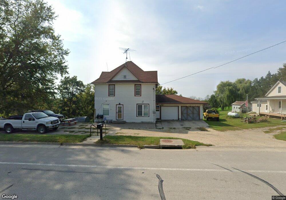
1476 Highway 9 Lansing, IA 52151
Estimated Value: $175,057 - $278,000
3
Beds
4
Baths
2,012
Sq Ft
$110/Sq Ft
Est. Value
About This Home
This home is located at 1476 Highway 9, Lansing, IA 52151 and is currently estimated at $222,014, approximately $110 per square foot. 1476 Highway 9 is a home located in Allamakee County with nearby schools including New Albin Elementary School, Lansing Middle School, and Kee High School.
Ownership History
Date
Name
Owned For
Owner Type
Purchase Details
Closed on
Jan 28, 2005
Sold by
Welsh Jerome E and Welsh Maralyn
Bought by
Stendel Charles F and Stendel Janell L
Current Estimated Value
Home Financials for this Owner
Home Financials are based on the most recent Mortgage that was taken out on this home.
Original Mortgage
$77,900
Outstanding Balance
$39,804
Interest Rate
5.83%
Mortgage Type
New Conventional
Estimated Equity
$182,210
Create a Home Valuation Report for This Property
The Home Valuation Report is an in-depth analysis detailing your home's value as well as a comparison with similar homes in the area
Home Values in the Area
Average Home Value in this Area
Purchase History
| Date | Buyer | Sale Price | Title Company |
|---|---|---|---|
| Stendel Charles F | $82,000 | None Available |
Source: Public Records
Mortgage History
| Date | Status | Borrower | Loan Amount |
|---|---|---|---|
| Open | Stendel Charles F | $77,900 |
Source: Public Records
Tax History Compared to Growth
Tax History
| Year | Tax Paid | Tax Assessment Tax Assessment Total Assessment is a certain percentage of the fair market value that is determined by local assessors to be the total taxable value of land and additions on the property. | Land | Improvement |
|---|---|---|---|---|
| 2025 | $1,824 | $143,500 | $26,200 | $117,300 |
| 2024 | $1,824 | $165,200 | $26,200 | $139,000 |
| 2023 | $1,834 | $165,200 | $26,200 | $139,000 |
| 2022 | $1,338 | $109,700 | $16,300 | $93,400 |
| 2021 | $1,326 | $109,700 | $16,300 | $93,400 |
| 2020 | $1,326 | $103,300 | $14,800 | $88,500 |
| 2019 | $1,294 | $99,900 | $0 | $0 |
| 2018 | $1,268 | $99,900 | $0 | $0 |
| 2017 | $1,268 | $87,200 | $0 | $0 |
| 2016 | $1,050 | $87,200 | $0 | $0 |
| 2015 | $1,050 | $87,200 | $0 | $0 |
| 2014 | $1,018 | $87,200 | $0 | $0 |
Source: Public Records
Map
Nearby Homes
- 1464 Iowa 9
- 2307 Mays Prairie Rd
- 1511 Scenic Valley Rd
- 1930 Hideaway Hills Ln Unit 29
- 1862 Village Creek Dr
- 370 Knolls St
- 2162 Lycurgus Rd
- 000 Tbd Lycurgus Rd
- 73 Shaw St
- 1381 N 2nd St
- 371 Diagonal St
- 320 Diagonal St
- Lot 4 Majestic Heights Ln
- 100 N 2nd St Unit A
- 197 Main St
- 933 Iowa River Dr
- 2183 Waterview Ln
- 1906 Blue Heron Ln
- 1886 Great River Rd
- 4.1 +/- ACRES Wisconsin 35
- 1478 Highway 9
- 1477 Highway 9
- 1480 Highway 9
- 1466 Highway 9
- 1467 Highway 9
- 1464 Highway 9
- 1466 Dry Ridge Dr
- 1485 Highway 9
- 1460 Highway 9
- 1489 Highway 9
- 1465 Dry Ridge Dr
- 1456 Highway 9
- 1502 Highway 9
- 1414 Highway 9
- 1504 Dry Ridge Dr
- 1511 Highway 9
- 1406 Highway 9
- 1407 Iowa 9
- 1407 Highway 9
- 1378 Highway 9