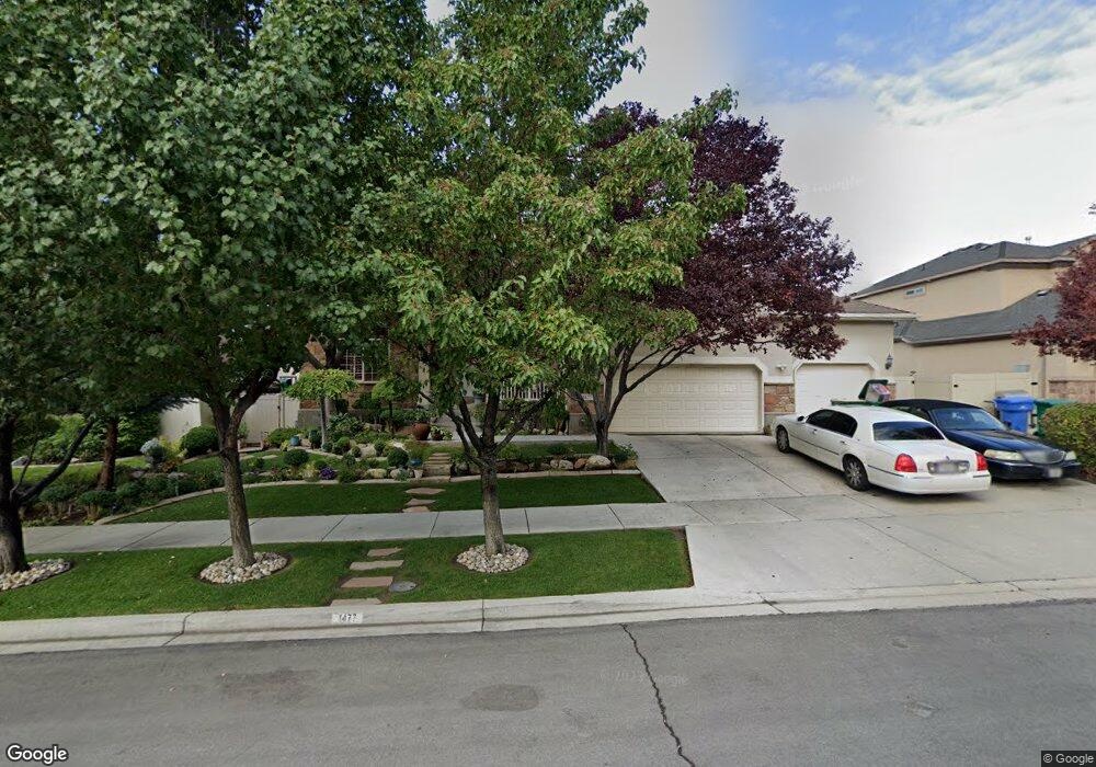
1477 N 350 E Orem, UT 84057
Windsor NeighborhoodEstimated Value: $680,000 - $764,477
5
Beds
3
Baths
4,246
Sq Ft
$172/Sq Ft
Est. Value
About This Home
This home is located at 1477 N 350 E, Orem, UT 84057 and is currently estimated at $728,826, approximately $171 per square foot. 1477 N 350 E is a home located in Utah County with nearby schools including Windsor School, Canyon View Junior High School, and Timpanogos High School.
Ownership History
Date
Name
Owned For
Owner Type
Purchase Details
Closed on
Oct 23, 2006
Sold by
Skousen Neil D
Bought by
Skousen Neil D and Skousen Janet H
Current Estimated Value
Purchase Details
Closed on
Dec 27, 2005
Sold by
Ivory Homes Ltd
Bought by
Lai Michael and Lai Deanna
Home Financials for this Owner
Home Financials are based on the most recent Mortgage that was taken out on this home.
Original Mortgage
$37,750
Outstanding Balance
$21,218
Interest Rate
6.27%
Mortgage Type
Credit Line Revolving
Estimated Equity
$707,608
Create a Home Valuation Report for This Property
The Home Valuation Report is an in-depth analysis detailing your home's value as well as a comparison with similar homes in the area
Home Values in the Area
Average Home Value in this Area
Purchase History
| Date | Buyer | Sale Price | Title Company |
|---|---|---|---|
| Skousen Neil D | -- | None Available | |
| Lai Michael | -- | Cottonwood Title Insurance | |
| Ivory Homes Ltd | -- | Cottonwood Title Insurance |
Source: Public Records
Mortgage History
| Date | Status | Borrower | Loan Amount |
|---|---|---|---|
| Open | Lai Michael | $37,750 | |
| Closed | Ivory Homes Ltd | $37,750 | |
| Open | Lai Michael | $302,300 |
Source: Public Records
Tax History
| Year | Tax Paid | Tax Assessment Tax Assessment Total Assessment is a certain percentage of the fair market value that is determined by local assessors to be the total taxable value of land and additions on the property. | Land | Improvement |
|---|---|---|---|---|
| 2025 | $2,768 | $359,315 | -- | -- |
| 2024 | $2,768 | $338,525 | $0 | $0 |
| 2023 | $2,632 | $345,950 | $0 | $0 |
| 2022 | $2,946 | $375,155 | $0 | $0 |
| 2021 | $2,677 | $516,300 | $177,000 | $339,300 |
| 2020 | $2,517 | $477,000 | $153,900 | $323,100 |
| 2019 | $2,402 | $473,500 | $153,900 | $319,600 |
| 2018 | $2,514 | $473,500 | $153,900 | $319,600 |
| 2017 | $2,505 | $252,725 | $0 | $0 |
| 2016 | $2,634 | $245,025 | $0 | $0 |
| 2015 | $2,578 | $226,765 | $0 | $0 |
| 2014 | $2,545 | $222,915 | $0 | $0 |
Source: Public Records
Map
Nearby Homes
- 363 E 1395 N Unit 22
- 1480 N 430 E
- 1636 N 160 E
- 1638 N 160 E
- 1371 N 330 E Unit 8
- 540 E Quail Rd
- 723 E 1450 N Unit 25
- 372 E 1165 N
- 713 E 1450 N Unit 23
- 49 W 1880 N
- 713 E 1500 St N Unit 19
- 1643 N Mountain Oaks Dr
- 733 E 1450 N Unit 5
- 747 E 1500 N Unit 13
- 710 E 1280 N
- 1366 N 750 E
- 1356 N 750 E Unit 11
- 695 E 1870 N
- 1324 N 750 E Unit 3
- 1548 N 275 West St Unit 2
Your Personal Tour Guide
Ask me questions while you tour the home.