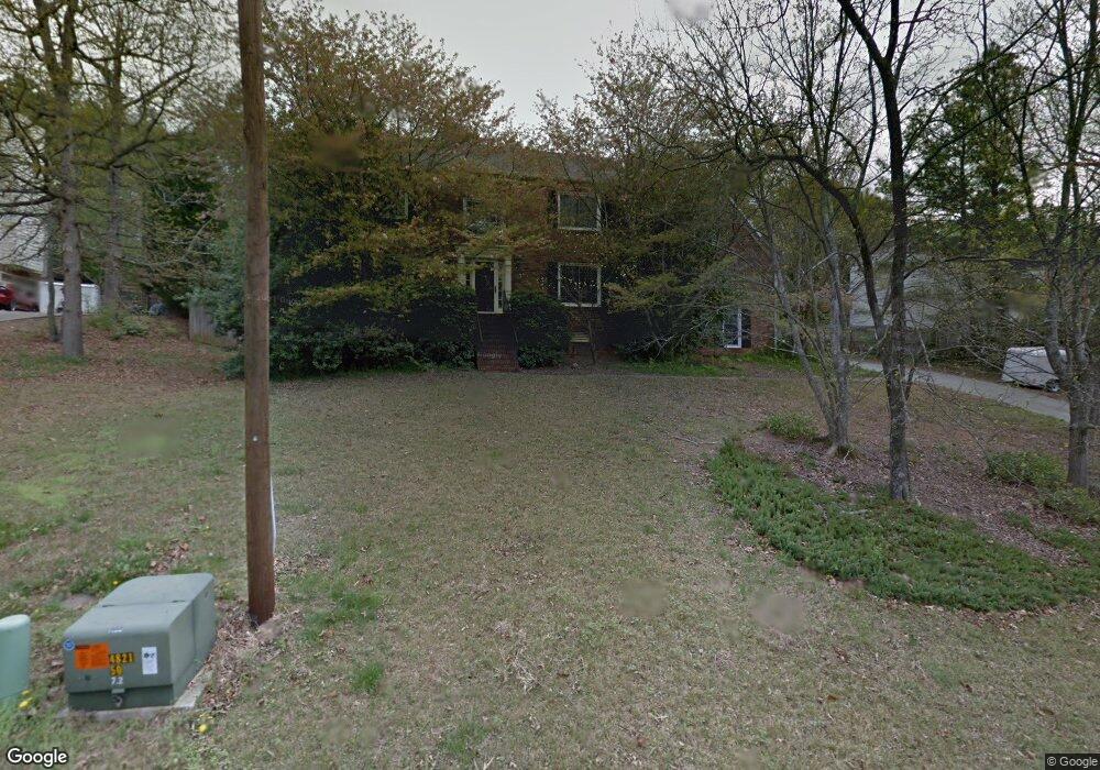
1477 Shadowrock Dr Marietta, GA 30062
Eastern Marietta NeighborhoodEstimated Value: $523,000 - $573,000
4
Beds
3
Baths
2,853
Sq Ft
$192/Sq Ft
Est. Value
About This Home
This home is located at 1477 Shadowrock Dr, Marietta, GA 30062 and is currently estimated at $546,754, approximately $191 per square foot. 1477 Shadowrock Dr is a home located in Cobb County with nearby schools including Kincaid Elementary School, Simpson Middle School, and Sprayberry High School.
Ownership History
Date
Name
Owned For
Owner Type
Purchase Details
Closed on
Jul 1, 2003
Sold by
Brand Roger M
Bought by
Brand Roger M and Brand Martha
Current Estimated Value
Home Financials for this Owner
Home Financials are based on the most recent Mortgage that was taken out on this home.
Original Mortgage
$147,950
Interest Rate
5.16%
Mortgage Type
New Conventional
Purchase Details
Closed on
Aug 26, 1998
Sold by
Seitman Alan I-Etal
Bought by
Brand Roger M
Home Financials for this Owner
Home Financials are based on the most recent Mortgage that was taken out on this home.
Original Mortgage
$142,400
Interest Rate
6.96%
Mortgage Type
New Conventional
Create a Home Valuation Report for This Property
The Home Valuation Report is an in-depth analysis detailing your home's value as well as a comparison with similar homes in the area
Home Values in the Area
Average Home Value in this Area
Purchase History
| Date | Buyer | Sale Price | Title Company |
|---|---|---|---|
| Brand Roger M | -- | -- | |
| Brand Roger M | -- | -- | |
| Brand Roger M | $178,000 | -- |
Source: Public Records
Mortgage History
| Date | Status | Borrower | Loan Amount |
|---|---|---|---|
| Closed | Brand Roger M | $147,950 | |
| Previous Owner | Brand Roger M | $142,400 |
Source: Public Records
Tax History Compared to Growth
Tax History
| Year | Tax Paid | Tax Assessment Tax Assessment Total Assessment is a certain percentage of the fair market value that is determined by local assessors to be the total taxable value of land and additions on the property. | Land | Improvement |
|---|---|---|---|---|
| 2025 | $4,260 | $181,972 | $44,000 | $137,972 |
| 2024 | $4,264 | $181,972 | $44,000 | $137,972 |
| 2023 | $3,488 | $171,208 | $34,000 | $137,208 |
| 2022 | $3,586 | $149,424 | $34,000 | $115,424 |
| 2021 | $3,214 | $132,452 | $32,800 | $99,652 |
| 2020 | $2,998 | $122,548 | $31,200 | $91,348 |
| 2019 | $2,824 | $114,640 | $30,000 | $84,640 |
| 2018 | $2,824 | $114,640 | $30,000 | $84,640 |
| 2017 | $2,469 | $102,552 | $32,000 | $70,552 |
| 2016 | $2,254 | $92,636 | $16,800 | $75,836 |
| 2015 | $2,305 | $92,636 | $16,800 | $75,836 |
| 2014 | $1,966 | $76,780 | $0 | $0 |
Source: Public Records
Map
Nearby Homes
- 1080 Soaring Way NE
- 1391 Cameron Glen Dr Unit 1
- 1237 Blackjack Ct
- 1060 Lawanna Dr
- 1255 Testarosa Way
- 1511 Emerald Glen Dr
- 1056 Azalea Cir
- 873 Edgewater Cir
- 1260 Herty Dr
- 1267 Herty Dr
- 1227 Herty Dr
- 1391 Brentwood Ln
- 1059 Grist Mill Dr
- 1071 Grist Mill Dr
- 1070 Grist Mill Dr
- 706 Coventry Township Ln
- 943 Crestmanor Dr
- 939 Crestmanor Dr
- 931 Crestmanor Dr
- 935 Crestmanor Dr
- 1485 Shadowrock Dr
- 1469 Shadowrock Dr
- 1469 Shadowrock Dr
- 1491 Shadowrock Dr
- 1467 Shadowrock Heights Unit 3
- 1480 Shadowrock Dr
- 1482 Shadowrock Dr Unit 3
- 1439 Shadowrock Ct
- 1470 Shadowrock Heights
- 1440 Shadowrock Ct Unit 3
- 1468 Shadowrock Heights
- 1493 Shadowrock Dr
- 1478 Shadowrock Dr
- 1466 Shadowrock Heights
- 1474 Shadowrock Dr
- 1438 Shadowrock Ct
- 1465 Shadowrock Heights Unit 3
- 1433 Shadowrock Ct
- 1492 Shadowrock Dr
- 1465 Shadowrock Dr