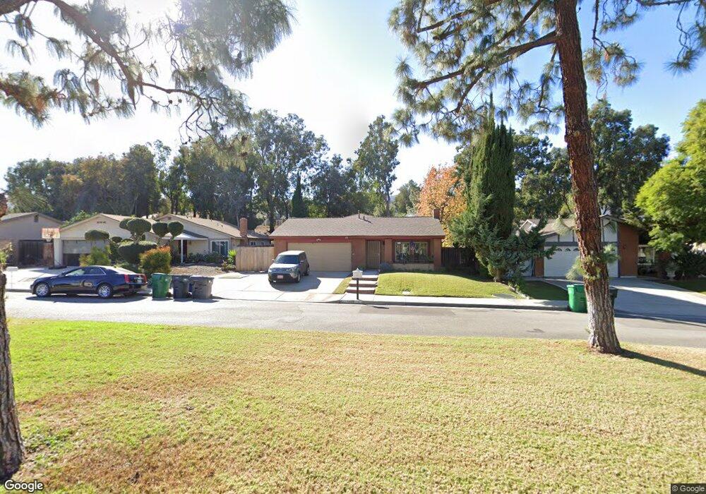
1478 Baird St Corona, CA 92882
Central Corona NeighborhoodEstimated Value: $674,351 - $736,000
About This Home
This home is located at 1478 Baird St, Corona, CA 92882 and is currently estimated at $712,338, approximately $489 per square foot. 1478 Baird St is a home located in Riverside County with nearby schools including John Adams Elementary School, Letha Raney Intermediate School, and Corona High School.
Ownership History
We collect this data history from publicly available records. To have your information removed, we recommend requesting removal directly through your county’s website.
Purchase Details
Purchase Details
Purchase Details
Home Values in the Area
Average Home Value in this Area
Purchase History
We collect this data history from publicly available records. To have your information removed, we recommend requesting removal directly through your county’s website.
| Date | Buyer | Sale Price | Title Company |
|---|---|---|---|
| -- | None Available | ||
| -- | Ticor Title Company | ||
| -- | Accommodation | ||
| -- | -- |
Tax History
We collect this data history from publicly available records. To have your information removed, we recommend requesting removal directly through your county’s website.
| Year | Tax Paid | Tax Assessment Tax Assessment Total Assessment is a certain percentage of the fair market value that is determined by local assessors to be the total taxable value of land and additions on the property. | Land | Improvement |
|---|---|---|---|---|
| 2025 | $1,022 | $259,486 | $112,572 | $146,914 |
| 2023 | $1,014 | $249,411 | $108,201 | $141,210 |
| 2022 | $1,130 | $244,522 | $106,080 | $138,442 |
| 2021 | $1,103 | $239,728 | $104,000 | $135,728 |
| 2020 | $1,122 | $237,271 | $102,934 | $134,337 |
| 2019 | $1,109 | $232,620 | $100,918 | $131,702 |
| 2018 | $2,523 | $228,060 | $98,940 | $129,120 |
| 2017 | $2,461 | $223,589 | $97,000 | $126,589 |
| 2016 | $2,436 | $219,206 | $95,099 | $124,107 |
| 2015 | $2,382 | $215,915 | $93,671 | $122,244 |
| 2014 | $6,958 | $211,687 | $91,837 | $119,850 |
Map
- 1336 Brentwood Cir
- 1324 Brentwood Cir Unit B
- 1320 Brentwood Cir Unit B
- 2265 Mcneil Cir
- 1598 Border Ave Unit H
- 1305 Brentwood Cir Unit D
- 1711 Longview Dr
- 1554 Border Ave Unit B
- 1554 Border Ave Unit G
- 1555 Border Ave Unit F
- 1518 Border Ave Unit G
- 1456 Chalgrove Dr Unit C
- 1492 Downing Ct
- 2144 Estrado Cir
- 2393 Mesquite Ln
- 1561 Chalgrove Dr
- 1683 Lark Ln
- 2288 Avenida Del Vista
- 1466 Camelot Dr
- 1589 Camelot Dr
Ask me questions while you tour the home.