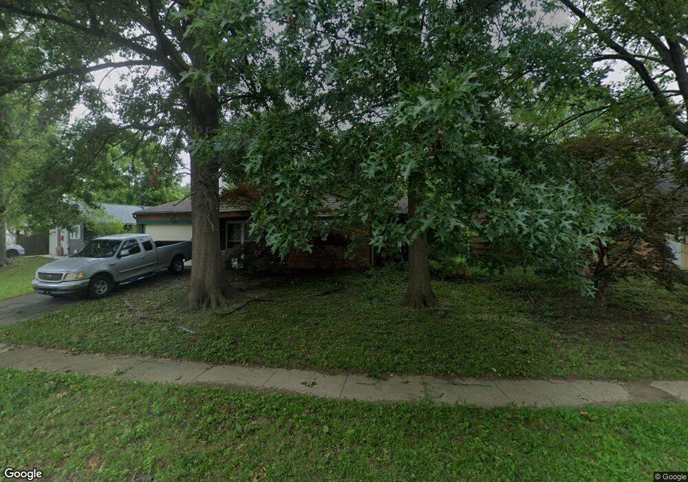
1478 Benson Dr Columbus, OH 43227
Shady Lane NeighborhoodEstimated Value: $174,000 - $209,000
3
Beds
1
Bath
950
Sq Ft
$203/Sq Ft
Est. Value
About This Home
This home is located at 1478 Benson Dr, Columbus, OH 43227 and is currently estimated at $192,865, approximately $203 per square foot. 1478 Benson Dr is a home located in Franklin County with nearby schools including Shady Lane Elementary School, Sherwood Middle School, and Walnut Ridge High School.
Ownership History
Date
Name
Owned For
Owner Type
Purchase Details
Closed on
Sep 22, 2000
Sold by
Fair Charles D and Fair Vickie
Bought by
Xanders Ralph E
Current Estimated Value
Purchase Details
Closed on
Sep 30, 1997
Sold by
Fair Charles D and Fair Vickie
Bought by
Fair Charles D and Fair Vickie
Purchase Details
Closed on
Mar 18, 1976
Bought by
Fair Charles D and Fair Vickie
Create a Home Valuation Report for This Property
The Home Valuation Report is an in-depth analysis detailing your home's value as well as a comparison with similar homes in the area
Home Values in the Area
Average Home Value in this Area
Purchase History
| Date | Buyer | Sale Price | Title Company |
|---|---|---|---|
| Xanders Ralph E | $72,500 | Chicago Title West | |
| Fair Charles D | -- | -- | |
| Fair Charles D | -- | -- |
Source: Public Records
Tax History
| Year | Tax Paid | Tax Assessment Tax Assessment Total Assessment is a certain percentage of the fair market value that is determined by local assessors to be the total taxable value of land and additions on the property. | Land | Improvement |
|---|---|---|---|---|
| 2025 | $2,491 | $55,510 | $16,030 | $39,480 |
| 2024 | $2,491 | $55,510 | $16,030 | $39,480 |
| 2023 | $2,459 | $55,510 | $16,030 | $39,480 |
| 2022 | $1,313 | $25,310 | $6,020 | $19,290 |
| 2021 | $1,315 | $25,310 | $6,020 | $19,290 |
| 2020 | $1,317 | $25,310 | $6,020 | $19,290 |
| 2019 | $1,177 | $19,400 | $4,800 | $14,600 |
| 2018 | $1,162 | $19,400 | $4,800 | $14,600 |
| 2017 | $1,221 | $19,400 | $4,800 | $14,600 |
| 2016 | $1,267 | $19,120 | $5,220 | $13,900 |
| 2015 | $1,150 | $19,120 | $5,220 | $13,900 |
| 2014 | $1,153 | $19,120 | $5,220 | $13,900 |
| 2013 | $668 | $22,470 | $6,125 | $16,345 |
Source: Public Records
Map
Nearby Homes
- 4859 Folger Dr
- 4677 E Livingston Ave
- 1377 Marble Dr
- 1612 Simpson Dr
- 1607 Simpson Dr
- 1255 Manfeld Dr
- 1216 Marble Dr
- 4649 Dundee Ave
- 1571 Baxter Dr
- 1691 Shady Lane Rd
- 1470 Efner Dr
- 1193 Marble Dr
- 1320 Nancy Ln
- 4467 Grimsby Rd
- 1559 Pyle Place
- 1607 Baxter Dr
- 1281 Maetzel Dr
- 1195 Huntly Dr
- 4589 Belfast Dr
- 1618 S Hamilton Rd
- 1486 Benson Dr
- 1460 Benson Dr
- 1494 Benson Dr
- 1454 Benson Dr
- 1477 Country Club Rd
- 1485 Country Club Rd
- 1498 Benson Dr
- 1469 Country Club Rd
- 1475 Benson Dr
- 1446 Benson Dr
- 1481 Benson Dr
- 1467 Benson Dr
- 1461 Benson Dr
- 1453 Benson Dr
- 1493 Benson Dr
- 1499 Benson Dr
- 1489 Benson Dr
- 1463 Country Club Rd
- 1501 Benson Dr
- 1447 Benson Dr