1478 Drift Rd Westport, MA 02790
Westport Point NeighborhoodEstimated Value: $1,580,000 - $1,855,780
3
Beds
--
Bath
2,502
Sq Ft
$700/Sq Ft
Est. Value
About This Home
This home is located at 1478 Drift Rd, Westport, MA 02790 and is currently estimated at $1,751,927, approximately $700 per square foot. 1478 Drift Rd is a home located in Bristol County with nearby schools including Alice A. Macomber Primary School, Westport Elementary School, and Westport Middle-High School.
Ownership History
Date
Name
Owned For
Owner Type
Purchase Details
Closed on
Oct 6, 2015
Sold by
Cohen Matthew and Cohen Shelley K
Bought by
Shelley Kessner Cohen and Shelley Cohen
Current Estimated Value
Purchase Details
Closed on
Dec 31, 2012
Sold by
Cohen Matthew and Cohen Shelley K
Bought by
Cohen Shelley Kessner and Cohen Matthew
Purchase Details
Closed on
Apr 23, 1993
Sold by
Archambault Anne M
Bought by
Cohen Matthew and Cohen Shelley K
Create a Home Valuation Report for This Property
The Home Valuation Report is an in-depth analysis detailing your home's value as well as a comparison with similar homes in the area
Home Values in the Area
Average Home Value in this Area
Purchase History
| Date | Buyer | Sale Price | Title Company |
|---|---|---|---|
| Shelley Kessner Cohen | -- | -- | |
| Shelley Kessner Cohen | -- | -- | |
| Cohen Shelley Kessner | -- | -- | |
| Cohen Matthew | $120,000 | -- | |
| Cohen Matthew | $120,000 | -- |
Source: Public Records
Tax History Compared to Growth
Tax History
| Year | Tax Paid | Tax Assessment Tax Assessment Total Assessment is a certain percentage of the fair market value that is determined by local assessors to be the total taxable value of land and additions on the property. | Land | Improvement |
|---|---|---|---|---|
| 2025 | $10,505 | $1,410,000 | $806,900 | $603,100 |
| 2024 | $10,078 | $1,303,700 | $708,900 | $594,800 |
| 2023 | $9,805 | $1,201,600 | $675,200 | $526,400 |
| 2022 | $8,578 | $1,140,200 | $675,200 | $465,000 |
| 2021 | $8,578 | $995,100 | $530,100 | $465,000 |
| 2020 | $7,139 | $846,900 | $508,900 | $338,000 |
| 2019 | $7,433 | $898,800 | $578,500 | $320,300 |
| 2018 | $4,076 | $498,900 | $484,300 | $14,600 |
| 2017 | $4,252 | $533,500 | $484,300 | $49,200 |
| 2016 | $4,220 | $533,500 | $484,300 | $49,200 |
| 2015 | $4,227 | $533,100 | $484,300 | $48,800 |
Source: Public Records
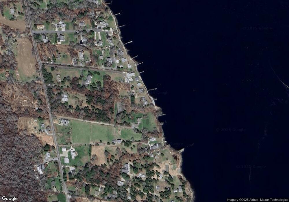
Map
Nearby Homes
- 99 Sylvia Ln
- 1702J Drift Rd
- 1702 Drift Rd
- 1580 Main Rd
- 1346 Main Rd Unit B
- 1881 Main Rd
- 225 Hixbridge Rd
- 920 Drift Rd
- 332 Division Rd
- 0 Reed Rd (Ss)
- 2 Slades Farm Ln
- 101 Adamsville Rd
- 837 Main Road & Lot 2
- 837 Main Rd
- Lot 2 Horseneck Rd
- Lot 2E Horseneck Rd
- 8 Village Way
- 7 Village Way
- 15 Village Way
- 17 Quail Trail
- 1478 Drift Rd
- 1478 Drift Rd Unit C
- 1478 Drift Rd Unit D
- 1478 Drift Rd Unit E
- 1478 Drift Rd
- 1478 Drift Rd Unit YEAR/WINTER
- 1478 Drift Rd Unit SUMMER WEEK
- 1478 Drift Rd Unit WINTER RENT
- 1476C Drift Rd
- 41 David Rd
- 1504 Drift Rd
- 1480 Drift Rd
- 31 David Rd
- 1476 Drift Rd
- 1476D Drift Rd Unit Winter
- 1476D Drift Rd Unit Weekly
- 1476G Drift Rd
- 1476 Drift Rd
- 1476 Drift Rd
- 1476 Drift Rd Unit F