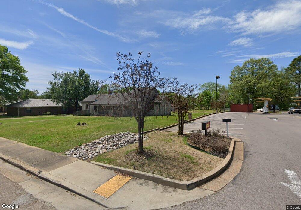
14785 Highway 194 Oakland, TN 38060
Estimated Value: $256,000 - $298,190
--
Bed
2
Baths
1,609
Sq Ft
$169/Sq Ft
Est. Value
About This Home
This home is located at 14785 Highway 194, Oakland, TN 38060 and is currently estimated at $272,548, approximately $169 per square foot. 14785 Highway 194 is a home located in Fayette County with nearby schools including Oakland Elementary School, West Junior High School, and Fayette Ware Comprehensive High School.
Ownership History
Date
Name
Owned For
Owner Type
Purchase Details
Closed on
Aug 15, 2014
Sold by
Rose Mark R
Bought by
Truong Hung
Current Estimated Value
Purchase Details
Closed on
Jun 24, 2002
Sold by
Rose Diana B
Bought by
Rose Mark R
Purchase Details
Closed on
Mar 20, 2000
Sold by
Burney Ray W
Bought by
Rose Mary R
Purchase Details
Closed on
Mar 1, 1999
Sold by
Robison Hollis O
Bought by
Burney Ray W
Purchase Details
Closed on
Nov 16, 1988
Bought by
Robison Hollis O and Robison Jean W
Purchase Details
Closed on
May 9, 1979
Bought by
Lewis E R
Purchase Details
Closed on
Jan 1, 1979
Create a Home Valuation Report for This Property
The Home Valuation Report is an in-depth analysis detailing your home's value as well as a comparison with similar homes in the area
Home Values in the Area
Average Home Value in this Area
Purchase History
| Date | Buyer | Sale Price | Title Company |
|---|---|---|---|
| Truong Hung | $120,000 | -- | |
| Rose Mark R | -- | -- | |
| Rose Mary R | $100,000 | -- | |
| Burney Ray W | $90,000 | -- | |
| Robison Hollis O | $38,500 | -- | |
| Lewis E R | -- | -- | |
| -- | $31,000 | -- |
Source: Public Records
Tax History Compared to Growth
Tax History
| Year | Tax Paid | Tax Assessment Tax Assessment Total Assessment is a certain percentage of the fair market value that is determined by local assessors to be the total taxable value of land and additions on the property. | Land | Improvement |
|---|---|---|---|---|
| 2024 | $350 | $27,575 | $27,575 | $7,575 |
| 2023 | $840 | $32,525 | $0 | $0 |
| 2022 | $557 | $32,525 | $24,950 | $7,575 |
| 2021 | $557 | $32,525 | $24,950 | $7,575 |
| 2020 | $418 | $32,525 | $24,950 | $7,575 |
| 2019 | $563 | $27,725 | $24,375 | $3,350 |
| 2018 | $579 | $27,725 | $24,375 | $3,350 |
| 2017 | $493 | $27,725 | $24,375 | $3,350 |
| 2016 | $520 | $27,350 | $24,375 | $2,975 |
| 2015 | $520 | $27,350 | $24,375 | $2,975 |
| 2014 | $520 | $27,350 | $24,375 | $2,975 |
Source: Public Records
Map
Nearby Homes
- 270 Oak St
- 000 Hwy 64
- 0 Mcauley St Unit 10186597
- 24.17 AC Tennessee 194
- 65 Cleer Ave
- 50 High St
- 50 Umble St
- 60 Umble St
- 95 Blue St
- 65 Blue St
- 120 Blue St
- 0 Mcfadden Dr Unit 10209515
- 40 Gracie Cove
- 70 Valleyview Ln
- 195 Chickasaw Trace Dr
- 30 Mossy Springs Cove
- 245 Mossy Springs Dr
- 22 Doral Loop
- 300 Saint Andrews Dr
- 290 Saint Andrews Dr