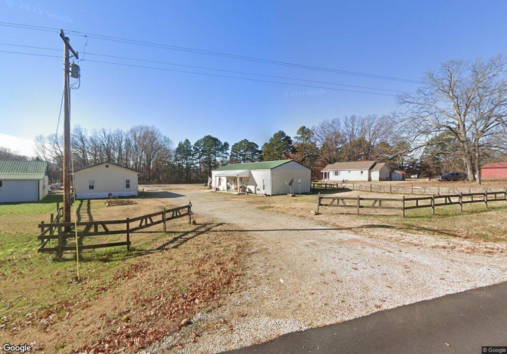
14797 Highway Pp Poplar Bluff, MO 63901
Estimated Value: $87,000 - $221,000
2
Beds
--
Bath
960
Sq Ft
$166/Sq Ft
Est. Value
About This Home
This home is located at 14797 Highway Pp, Poplar Bluff, MO 63901 and is currently estimated at $159,473, approximately $166 per square foot. 14797 Highway Pp is a home located in Butler County with nearby schools including East Carter County R-II Elementary School, East Carter County R-II Middle School, and East Carter County R-II High School.
Ownership History
Date
Name
Owned For
Owner Type
Purchase Details
Closed on
Jan 4, 2013
Sold by
Secretary Of Hud
Bought by
Taylor Eric C and Taylor Sandy J
Current Estimated Value
Purchase Details
Closed on
Jun 4, 2012
Sold by
Pyles Clifford
Bought by
Wells Fargo Bank
Purchase Details
Closed on
Nov 13, 2008
Sold by
Pierce Jerry and Pierce Alice
Bought by
Pyles Clifford
Home Financials for this Owner
Home Financials are based on the most recent Mortgage that was taken out on this home.
Original Mortgage
$61,665
Interest Rate
6.18%
Mortgage Type
FHA
Create a Home Valuation Report for This Property
The Home Valuation Report is an in-depth analysis detailing your home's value as well as a comparison with similar homes in the area
Purchase History
| Date | Buyer | Sale Price | Title Company |
|---|---|---|---|
| Taylor Eric C | -- | None Available | |
| Wells Fargo Bank | -- | None Available | |
| Pyles Clifford | -- | -- |
Source: Public Records
Mortgage History
| Date | Status | Borrower | Loan Amount |
|---|---|---|---|
| Previous Owner | Pyles Clifford | $61,665 |
Source: Public Records
Tax History
| Year | Tax Paid | Tax Assessment Tax Assessment Total Assessment is a certain percentage of the fair market value that is determined by local assessors to be the total taxable value of land and additions on the property. | Land | Improvement |
|---|---|---|---|---|
| 2024 | $4 | $10,360 | $0 | $0 |
| 2023 | $371 | $10,360 | $0 | $0 |
| 2022 | $361 | $10,110 | $0 | $0 |
| 2021 | $362 | $10,110 | $0 | $0 |
| 2020 | $352 | $9,740 | $0 | $0 |
| 2019 | $352 | $9,740 | $0 | $0 |
| 2018 | $352 | $9,740 | $0 | $0 |
| 2017 | -- | $9,740 | $0 | $0 |
| 2016 | -- | $9,740 | $0 | $0 |
| 2015 | -- | $9,740 | $0 | $0 |
| 2014 | -- | $9,270 | $0 | $0 |
| 2012 | $336 | $9,270 | $0 | $0 |
Source: Public Records
Map
Nearby Homes
- 109 Lanee Ln
- TBD County Road 426
- Tbd County Road 426
- 237 County Road 418
- 10576 Highway Pp
- 2751 Carter Route B
- 1790 Carter 327
- 698 Hoot Owl Ln
- 31955 Us Highway 60
- 9711 Highway Pp
- 139 County Road 425
- 0 County Road 421
- 900 Private 417-38 Rd
- 0 Carter Route 266 Unit MAR24069627
- 00 Rabbit Run Rd
- 202 Mount Ash Ln
- 56 Stringtown St
- 0 Brownwood Trails #18 Unit MIS25061746
- 1 Woodland Heights W
- 4 Woodland Heights W
- 161 Cr 415
- 137 County Road 415
- 81 County Road 415
- 68 County Road 415
- 181 County Road 415
- 14790 Highway Pp
- 157 Cr 415
- 337 County Road 415
- 15758 Highway 60 W
- 163 County Road 415
- 15709 Highway 60 W
- 370 County Road 415
- 6335 County Road 426
- 6071 County Road 426
- 15741 Highway 60 W
- 5968 County Road 426
- 6019 County Road 426
- 15576 Highway 60 W
- 332 Mohican Ln
- 14721 Highway Pp
Your Personal Tour Guide
Ask me questions while you tour the home.