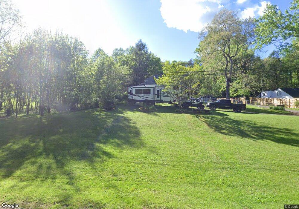
148 Big Mine Rd Palmer, TN 37365
Estimated Value: $147,000 - $188,000
--
Bed
2
Baths
1,717
Sq Ft
$99/Sq Ft
Est. Value
About This Home
This home is located at 148 Big Mine Rd, Palmer, TN 37365 and is currently estimated at $169,893, approximately $98 per square foot. 148 Big Mine Rd is a home located in Grundy County.
Ownership History
Date
Name
Owned For
Owner Type
Purchase Details
Closed on
Oct 29, 2015
Sold by
Keener Clayton C
Bought by
Morrison Ronald H and Travis Michelle L
Current Estimated Value
Home Financials for this Owner
Home Financials are based on the most recent Mortgage that was taken out on this home.
Original Mortgage
$60,000
Outstanding Balance
$24,706
Interest Rate
3.89%
Mortgage Type
New Conventional
Estimated Equity
$145,187
Purchase Details
Closed on
Aug 12, 2004
Sold by
Brown Phyllis Mae Tate Et
Bought by
Keener Clayton C
Home Financials for this Owner
Home Financials are based on the most recent Mortgage that was taken out on this home.
Original Mortgage
$36,000
Interest Rate
6.19%
Create a Home Valuation Report for This Property
The Home Valuation Report is an in-depth analysis detailing your home's value as well as a comparison with similar homes in the area
Home Values in the Area
Average Home Value in this Area
Purchase History
| Date | Buyer | Sale Price | Title Company |
|---|---|---|---|
| Morrison Ronald H | $47,000 | -- | |
| Keener Clayton C | $35,000 | -- |
Source: Public Records
Mortgage History
| Date | Status | Borrower | Loan Amount |
|---|---|---|---|
| Open | Morrison Ronald H | $60,000 | |
| Previous Owner | Keener Clayton C | $36,000 |
Source: Public Records
Tax History Compared to Growth
Tax History
| Year | Tax Paid | Tax Assessment Tax Assessment Total Assessment is a certain percentage of the fair market value that is determined by local assessors to be the total taxable value of land and additions on the property. | Land | Improvement |
|---|---|---|---|---|
| 2024 | $623 | $43,700 | $3,300 | $40,400 |
| 2023 | $623 | $43,700 | $3,300 | $40,400 |
| 2022 | $572 | $25,825 | $2,150 | $23,675 |
| 2021 | $572 | $25,825 | $2,150 | $23,675 |
| 2020 | $572 | $25,825 | $2,150 | $23,675 |
| 2019 | $387 | $18,275 | $2,075 | $16,200 |
| 2018 | $387 | $15,250 | $2,075 | $13,175 |
| 2017 | $387 | $15,250 | $2,075 | $13,175 |
| 2016 | $370 | $14,575 | $2,075 | $12,500 |
| 2015 | $370 | $14,575 | $2,075 | $12,500 |
| 2014 | $371 | $14,634 | $0 | $0 |
Source: Public Records
Map
Nearby Homes
- 0 Main St Unit RTC2796154
- 273 E Lee Dr
- 211 Rock Ave
- 1565 Main St
- 14 Sawmill Rd
- Tract 12 Sawmill Rd
- 13 Sawmill Rd
- 148 Sawmill Rd
- Tract 14 Sawmill Rd
- 12 Sawmill Rd
- Tract 13 Sawmill Rd
- Tract 12 Saw Mill Rd
- 1077 Rock Ave
- Tract 14 Sawmill Rd
- 1970 Rock Ave
- 591 Main St
- 571 Main St
- 0 Keith Brewer Rd
- 1235 Tatesville Rd
- 34 Sr 399
- 116 Big Mine Rd
- 190 Big Mine Rd
- 129 Big Mine Rd
- 80 Big Mine Rd
- 76 Big Mine Rd
- 1 Martin Ln
- 216 Big Mine Rd
- 301 Big Mine Rd
- 197 Martin Ln
- 450 Ducktown Cir
- 225 Martin Ln
- 61 Martin Ln
- 266 Big Mine Rd
- 430 Ducktown Cir
- 123 Martin Ln
- 460 Ducktown Cir
- 173 Ducktown Cir
- 0 Ducktown Cir
- 95 Hwy 108
- 412 Ducktown Cir