148 Bray St Gloucester, MA 01930
West Gloucester NeighborhoodEstimated Value: $335,967 - $1,101,000
Studio
--
Bath
--
Sq Ft
484,387
Sq Ft Lot
About This Home
This home is located at 148 Bray St, Gloucester, MA 01930 and is currently estimated at $676,656. 148 Bray St is a home located in Essex County with nearby schools including West Parish, Ralph B O'maley Middle School, and Gloucester High School.
Ownership History
Date
Name
Owned For
Owner Type
Purchase Details
Closed on
Nov 16, 2023
Sold by
Thornton Macy M and Thornton Jacob J
Bought by
Sannon-Mccarthy Caroline and Mccarthy Hugh F
Current Estimated Value
Purchase Details
Closed on
Apr 8, 2014
Sold by
Harding Darlene D and Harding Keven B
Bought by
Thornton Gary
Purchase Details
Closed on
Jan 31, 2014
Sold by
Harding Darlene D
Bought by
Harding Darlene D and Harding Keven B
Purchase Details
Closed on
Dec 29, 2011
Sold by
Garland Leroy H
Bought by
Garland Leroy H and Garland Eleanore J
Create a Home Valuation Report for This Property
The Home Valuation Report is an in-depth analysis detailing your home's value as well as a comparison with similar homes in the area
Home Values in the Area
Average Home Value in this Area
Purchase History
| Date | Buyer | Sale Price | Title Company |
|---|---|---|---|
| Sannon-Mccarthy Caroline | $312,500 | None Available | |
| Thornton Gary | $25,000 | -- | |
| Harding Darlene D | -- | -- | |
| Harding Darlene D | -- | -- | |
| Garland Leroy H | -- | -- | |
| Garland Leroy H | -- | -- |
Source: Public Records
Tax History
| Year | Tax Paid | Tax Assessment Tax Assessment Total Assessment is a certain percentage of the fair market value that is determined by local assessors to be the total taxable value of land and additions on the property. | Land | Improvement |
|---|---|---|---|---|
| 2025 | $2,974 | $306,000 | $306,000 | $0 |
| 2024 | $274 | $28,200 | $28,200 | $0 |
| 2023 | $267 | $25,200 | $25,200 | $0 |
| 2022 | $258 | $22,000 | $22,000 | $0 |
| 2021 | $249 | $20,000 | $20,000 | $0 |
| 2020 | $247 | $20,000 | $20,000 | $0 |
| 2019 | $254 | $20,000 | $20,000 | $0 |
| 2018 | $259 | $20,000 | $20,000 | $0 |
| 2017 | $251 | $19,000 | $19,000 | $0 |
| 2016 | $271 | $19,900 | $19,900 | $0 |
| 2015 | $272 | $19,900 | $19,900 | $0 |
Source: Public Records
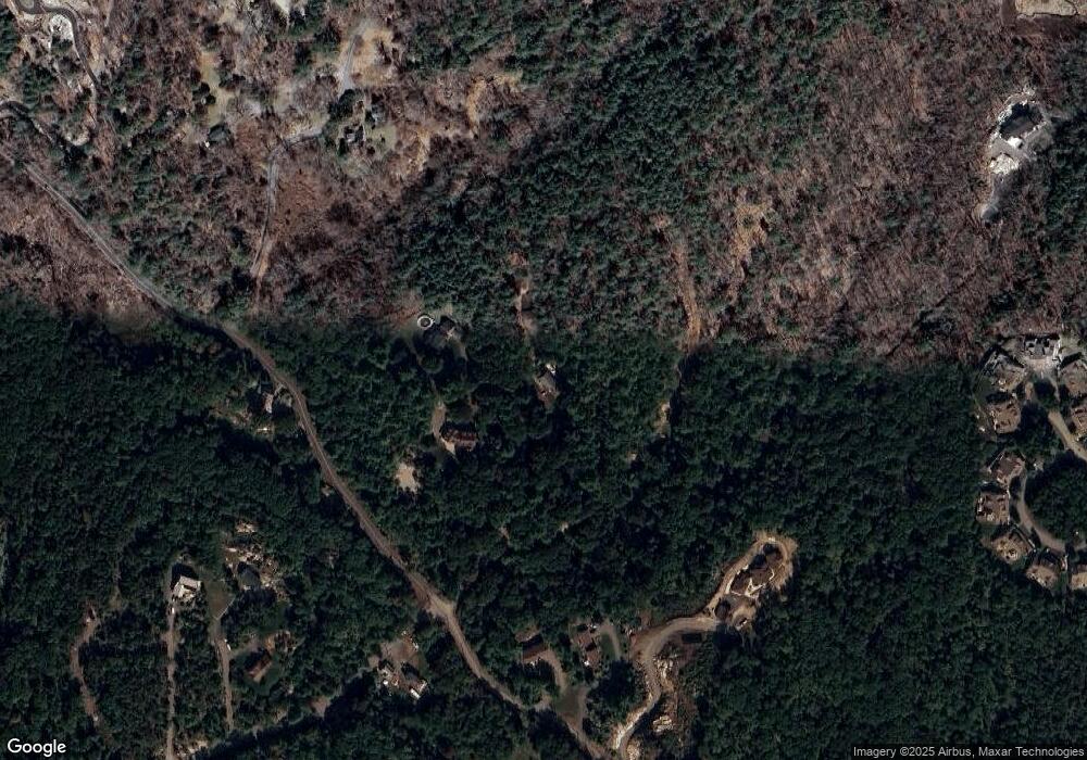
Map
Nearby Homes
- 167 Atlantic St
- 178 Atlantic St
- 7 Leaman Dr
- 226 Atlantic St
- 13 Honeysuckle Rd
- 368 Essex Ave
- 2 Breezy Point Rd
- 5 Samoset Rd Unit B
- 587 Essex Ave
- 3 Deacon Farm Ln
- 5 Lepage Ln
- 24 Cobblestone Ln Unit 603
- 145 Essex Ave Unit 402
- 31 Echo Ave
- 672 Washington St
- 3 Rockland St
- 24 Lufkin St
- 6 Monroe Ct
- 136 Leonard St
- 13 Mystic Ave
- 148 Bray St
- 144 Bray St
- 146 Bray St
- 160 Bray St
- 175 Concord St
- 198 Concord St
- 9 Coles Island Rd
- 139 Bray St
- 137 Bray St
- 128 Bray St
- 173 Concord St
- 14 Coles Island Rd
- 118 Bray St
- 134 Concord St
- 7 Curlew Ct Unit B
- 7A Curlew Ct Unit 13
- 7 Curlew Ct Unit 14
- 7A Curlew Ct Unit 1
- 9 Curlew Ct Unit B
- 9A Curlew Ct Unit 15
Your Personal Tour Guide
Ask me questions while you tour the home.