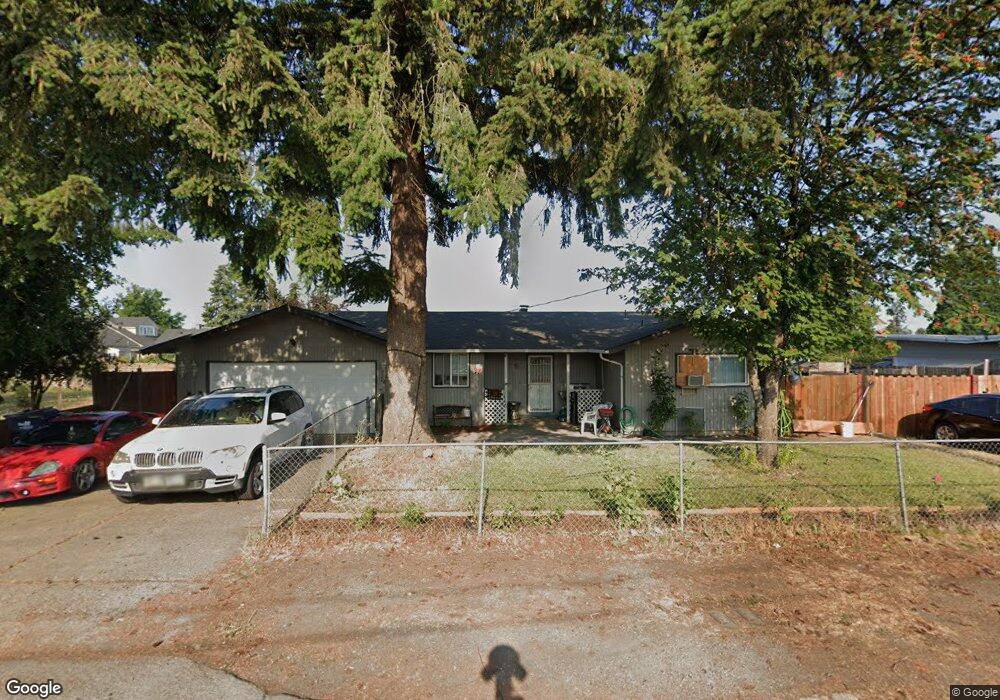
148 Chapman Ln Springfield, OR 97478
East Springfield NeighborhoodEstimated Value: $355,000 - $371,000
3
Beds
2
Baths
1,166
Sq Ft
$312/Sq Ft
Est. Value
About This Home
This home is located at 148 Chapman Ln, Springfield, OR 97478 and is currently estimated at $363,258, approximately $311 per square foot. 148 Chapman Ln is a home located in Lane County with nearby schools including Riverbend Elementary School, Agnes Stewart Middle School, and Thurston High School.
Ownership History
Date
Name
Owned For
Owner Type
Purchase Details
Closed on
Nov 28, 2006
Sold by
Henderson Robert L and Henderson Heather L
Bought by
Sanchez Camerino
Current Estimated Value
Home Financials for this Owner
Home Financials are based on the most recent Mortgage that was taken out on this home.
Original Mortgage
$34,780
Interest Rate
6.01%
Mortgage Type
Stand Alone Second
Purchase Details
Closed on
Jan 26, 2004
Sold by
Garrelts Gregory H
Bought by
Henderson Robert L and Henderson Heather L
Home Financials for this Owner
Home Financials are based on the most recent Mortgage that was taken out on this home.
Original Mortgage
$109,900
Interest Rate
6.75%
Mortgage Type
Purchase Money Mortgage
Create a Home Valuation Report for This Property
The Home Valuation Report is an in-depth analysis detailing your home's value as well as a comparison with similar homes in the area
Home Values in the Area
Average Home Value in this Area
Purchase History
| Date | Buyer | Sale Price | Title Company |
|---|---|---|---|
| Sanchez Camerino | $173,900 | First American Title | |
| Henderson Robert L | $109,900 | Western Pioneer Title Co |
Source: Public Records
Mortgage History
| Date | Status | Borrower | Loan Amount |
|---|---|---|---|
| Closed | Sanchez Camerino | $34,780 | |
| Open | Sanchez Camerino | $139,120 | |
| Previous Owner | Henderson Robert L | $109,900 |
Source: Public Records
Tax History
| Year | Tax Paid | Tax Assessment Tax Assessment Total Assessment is a certain percentage of the fair market value that is determined by local assessors to be the total taxable value of land and additions on the property. | Land | Improvement |
|---|---|---|---|---|
| 2025 | $3,153 | $171,925 | -- | -- |
| 2024 | $3,102 | $166,918 | -- | -- |
| 2023 | $3,102 | $162,057 | $0 | $0 |
| 2022 | $2,873 | $157,337 | $0 | $0 |
| 2021 | $2,821 | $152,755 | $0 | $0 |
| 2020 | $2,739 | $148,306 | $0 | $0 |
| 2019 | $2,656 | $143,987 | $0 | $0 |
| 2018 | $2,504 | $135,722 | $0 | $0 |
| 2017 | $2,408 | $135,722 | $0 | $0 |
| 2016 | $2,357 | $131,769 | $0 | $0 |
| 2015 | $2,290 | $127,931 | $0 | $0 |
| 2014 | $2,255 | $124,205 | $0 | $0 |
Source: Public Records
Map
Nearby Homes
- 5495 A Units 69 70 71 72 St
- 205 S 54th (#11) St Unit 11
- 5570 B St
- 205 S 54th St
- 0 N St
- 5335 Main St Unit 236
- 5335 Main St
- 5335 Main St Unit 184
- 5335 Main St Unit 197
- 5335 Main St Unit 154
- 5335 Main St Unit 187
- 520 S 51st Place
- 5335 Daisy St Unit 131
- 5335 Daisy St Unit TL 0130
- 5524 E St
- 5254 Forsythia St
- 4866 Beaver St
- 733 54th St
- 775 54th St
- 658 S 57th St Unit 81
Your Personal Tour Guide
Ask me questions while you tour the home.