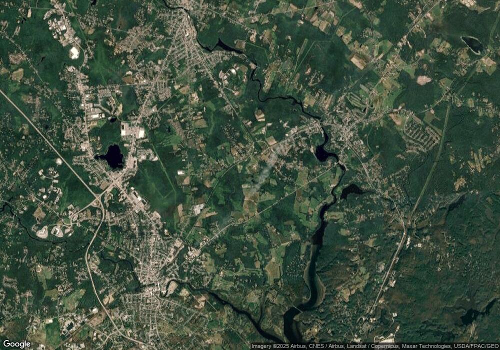
148 General John Sullivan Way Rollinsford, NH 03869
Estimated Value: $413,000 - $434,000
3
Beds
1
Bath
960
Sq Ft
$439/Sq Ft
Est. Value
About This Home
This home is located at 148 General John Sullivan Way, Rollinsford, NH 03869 and is currently estimated at $421,809, approximately $439 per square foot. 148 General John Sullivan Way is a home located in Strafford County with nearby schools including Rollinsford Grade School, Berwick Academy, and Seacoast Christian School.
Ownership History
Date
Name
Owned For
Owner Type
Purchase Details
Closed on
Sep 26, 2011
Sold by
Joncas Paul J
Bought by
Cloutier Edward J and Boucher Renee
Current Estimated Value
Home Financials for this Owner
Home Financials are based on the most recent Mortgage that was taken out on this home.
Original Mortgage
$143,000
Outstanding Balance
$98,607
Interest Rate
4.33%
Mortgage Type
Purchase Money Mortgage
Estimated Equity
$323,202
Create a Home Valuation Report for This Property
The Home Valuation Report is an in-depth analysis detailing your home's value as well as a comparison with similar homes in the area
Home Values in the Area
Average Home Value in this Area
Purchase History
| Date | Buyer | Sale Price | Title Company |
|---|---|---|---|
| Cloutier Edward J | $140,000 | -- |
Source: Public Records
Mortgage History
| Date | Status | Borrower | Loan Amount |
|---|---|---|---|
| Open | Cloutier Edward J | $143,000 |
Source: Public Records
Tax History Compared to Growth
Tax History
| Year | Tax Paid | Tax Assessment Tax Assessment Total Assessment is a certain percentage of the fair market value that is determined by local assessors to be the total taxable value of land and additions on the property. | Land | Improvement |
|---|---|---|---|---|
| 2024 | $5,279 | $321,700 | $169,500 | $152,200 |
| 2023 | $4,948 | $321,700 | $169,500 | $152,200 |
| 2022 | $4,784 | $321,700 | $169,500 | $152,200 |
| 2021 | $4,905 | $201,200 | $99,800 | $101,400 |
| 2020 | $4,966 | $201,200 | $99,800 | $101,400 |
| 2019 | $4,549 | $201,200 | $99,800 | $101,400 |
| 2018 | $4,857 | $201,200 | $99,800 | $101,400 |
| 2016 | $4,398 | $157,200 | $61,800 | $95,400 |
| 2015 | $4,312 | $157,200 | $61,800 | $95,400 |
| 2014 | $4,166 | $157,200 | $61,800 | $95,400 |
| 2013 | $4,193 | $156,000 | $61,800 | $94,200 |
Source: Public Records
Map
Nearby Homes
- 442 Prospect St
- 26 Stevens Ct
- 72 Moses Carr Rd
- 37 Nealley St
- 24 Spillanes Hill
- 72 Vine St
- 289 Main St
- 10 Portland St
- 23 Paul St
- 11 Country Club Estates Dr Unit 11
- 3 Bennett St
- 10 Hill Dr
- 10 Turgeon's Ln
- Lot 6 Emerson Ridge Unit 6
- 17 2nd St
- Lot 8 Emerson Ridge Unit 8
- 29 Buffumsville Rd
- 24 Farmgate Rd
- 24 Atlantic Ave
- 400 Gulf Rd
- 152 General John Sullivan Way
- 160 General John Sullivan Way
- 140 General John Sullivan Way
- 164 General John Sullivan Way
- 136 General John Sullivan Way
- 172 General John Sullivan Way
- 132 General John Sullivan Way
- 126 General John Sullivan Way
- 176 General John Sullivan Way
- 427 Silver St
- 445 Silver St
- 122 General John Sullivan Way
- 441 Silver St
- 425 Silver St
- 121 General John Sullivan Way
- 180 General John Sullivan Way
- 447 Silver St
- 118 General John Sullivan Way
- 100 Roberts Rd
- 80 Roberts Rd
