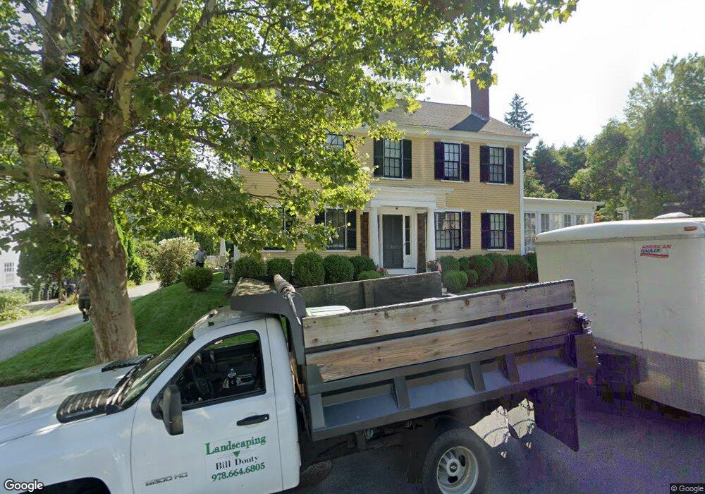
148 Main St Unit 309A Andover, MA 01810
East Andover NeighborhoodEstimated Value: $1,529,000 - $1,750,000
5
Beds
2
Baths
4,248
Sq Ft
$377/Sq Ft
Est. Value
About This Home
This home is located at 148 Main St Unit 309A, Andover, MA 01810 and is currently estimated at $1,602,773, approximately $377 per square foot. 148 Main St Unit 309A is a home located in Essex County with nearby schools including Bancroft Elementary School, Doherty Middle School, and Andover High School.
Ownership History
Date
Name
Owned For
Owner Type
Purchase Details
Closed on
Nov 17, 2021
Sold by
Pasquariello Rocco
Bought by
Wentzel Keith K and Wentzel Lynn
Current Estimated Value
Purchase Details
Closed on
May 31, 2019
Sold by
Newman P Lawrence P and Newman Abigail S
Bought by
Abigail S Newman Ft and Newman
Purchase Details
Closed on
Feb 25, 2015
Sold by
First Papapetros Rt and Papapetros
Bought by
Papapetros Theodore N and Papapetros Athena E
Purchase Details
Closed on
Dec 28, 2001
Sold by
Barbara L Greer Ft and Greer Stephen W
Bought by
Abruzzi Julie A
Purchase Details
Closed on
Aug 1, 1990
Sold by
Goriansky Michael E
Bought by
Newman P Lawrence
Create a Home Valuation Report for This Property
The Home Valuation Report is an in-depth analysis detailing your home's value as well as a comparison with similar homes in the area
Home Values in the Area
Average Home Value in this Area
Purchase History
| Date | Buyer | Sale Price | Title Company |
|---|---|---|---|
| Wentzel Keith K | $257,000 | None Available | |
| Abigail S Newman Ft | -- | -- | |
| Abigail S Newman Ft | -- | -- | |
| Papapetros Theodore N | -- | -- | |
| Papapetros Theodore N | -- | -- | |
| Abruzzi Julie A | $169,900 | -- | |
| Abruzzi Julie A | $169,900 | -- | |
| Newman P Lawrence | $397,500 | -- | |
| Newman P Lawrence | $397,500 | -- |
Source: Public Records
Mortgage History
| Date | Status | Borrower | Loan Amount |
|---|---|---|---|
| Previous Owner | Newman P Lawrence | $69,000 | |
| Previous Owner | Newman P Lawrence | $200,000 |
Source: Public Records
Tax History
| Year | Tax Paid | Tax Assessment Tax Assessment Total Assessment is a certain percentage of the fair market value that is determined by local assessors to be the total taxable value of land and additions on the property. | Land | Improvement |
|---|---|---|---|---|
| 2024 | $16,197 | $1,257,500 | $627,100 | $630,400 |
| 2023 | $15,679 | $1,147,800 | $580,800 | $567,000 |
| 2022 | $14,545 | $996,200 | $492,100 | $504,100 |
| 2021 | $13,900 | $909,100 | $447,500 | $461,600 |
| 2020 | $13,326 | $887,800 | $436,600 | $451,200 |
| 2019 | $13,181 | $863,200 | $424,000 | $439,200 |
| 2018 | $12,548 | $802,300 | $400,000 | $402,300 |
| 2017 | $12,003 | $790,700 | $392,000 | $398,700 |
| 2016 | $11,718 | $790,700 | $392,000 | $398,700 |
| 2015 | $11,254 | $751,800 | $376,800 | $375,000 |
Source: Public Records
Map
Nearby Homes
- 154 Main St
- 100.5 Main St Unit Q
- 96 N Main St Unit 3
- 33 Chestnut St Unit 2
- 81 Chestnut St Unit 81
- 3 Torr St
- 5 Lewis St
- 52 Salem St
- 57 Salem St
- 105 Central St
- 1 Sweeney Ct
- 11 Cuba St
- 31 Porter Rd
- 16 Porter Rd
- 4 Hammond Way
- 2 Powder Mill Square Unit 2B
- 70 Washington Park Dr Unit 6
- 40C Washington Park Dr Unit 12
- 1 Delisio Dr
- 133B Salem
Your Personal Tour Guide
Ask me questions while you tour the home.