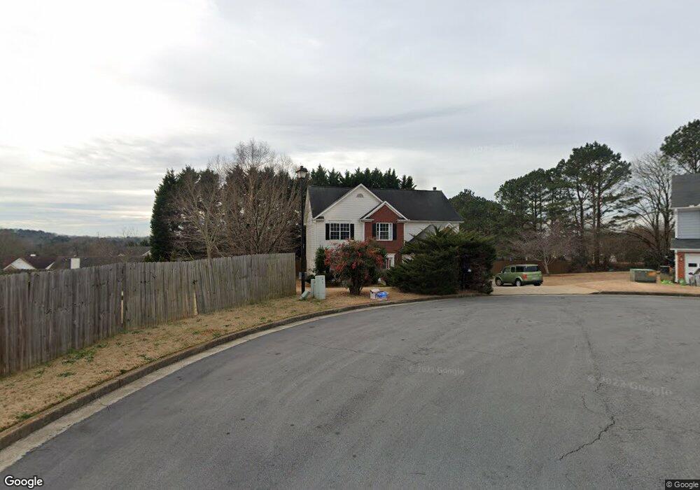
148 Marston Ct Unit 1 Suwanee, GA 30024
Estimated Value: $408,825 - $427,000
4
Beds
3
Baths
2,267
Sq Ft
$184/Sq Ft
Est. Value
About This Home
This home is located at 148 Marston Ct Unit 1, Suwanee, GA 30024 and is currently estimated at $417,706, approximately $184 per square foot. 148 Marston Ct Unit 1 is a home located in Gwinnett County with nearby schools including Walnut Grove Elementary School, Creekland Middle School, and Collins Hill High School.
Ownership History
Date
Name
Owned For
Owner Type
Purchase Details
Closed on
Feb 27, 1998
Sold by
West Palm Ass
Bought by
Bovard John M and Bovard Michele H
Current Estimated Value
Home Financials for this Owner
Home Financials are based on the most recent Mortgage that was taken out on this home.
Original Mortgage
$126,176
Outstanding Balance
$21,531
Interest Rate
6.95%
Mortgage Type
FHA
Estimated Equity
$396,175
Create a Home Valuation Report for This Property
The Home Valuation Report is an in-depth analysis detailing your home's value as well as a comparison with similar homes in the area
Home Values in the Area
Average Home Value in this Area
Purchase History
| Date | Buyer | Sale Price | Title Company |
|---|---|---|---|
| Bovard John M | $132,000 | -- |
Source: Public Records
Mortgage History
| Date | Status | Borrower | Loan Amount |
|---|---|---|---|
| Open | Bovard John M | $126,176 |
Source: Public Records
Tax History
| Year | Tax Paid | Tax Assessment Tax Assessment Total Assessment is a certain percentage of the fair market value that is determined by local assessors to be the total taxable value of land and additions on the property. | Land | Improvement |
|---|---|---|---|---|
| 2025 | $990 | $167,320 | $26,320 | $141,000 |
| 2024 | $979 | $167,640 | $33,600 | $134,040 |
| 2023 | $979 | $157,320 | $33,600 | $123,720 |
| 2022 | $940 | $135,120 | $29,200 | $105,920 |
| 2021 | $929 | $96,560 | $17,200 | $79,360 |
| 2020 | $927 | $96,560 | $17,200 | $79,360 |
| 2019 | $861 | $96,560 | $17,200 | $79,360 |
| 2018 | $843 | $96,560 | $17,200 | $79,360 |
| 2016 | $883 | $79,640 | $14,440 | $65,200 |
| 2015 | $899 | $69,320 | $12,400 | $56,920 |
| 2014 | -- | $69,320 | $12,400 | $56,920 |
Source: Public Records
Map
Nearby Homes
- 2164 Cape Liberty Dr
- 2372 Merrymount Dr Unit 2
- 2382 Merrymount Dr Unit 2
- 2285 Wildwood Lake Dr
- 2105 Laurel Lake Dr
- 2390 Walnut Grove Way
- 2165 Wildwood Lake Dr
- 1971 Fernwood Dr
- 1985 Tyler Trace
- 2001 Stone Forest Dr
- 2061 Wildcat Cliffs Ln
- 2275 Shore View Way
- 2124 York River Way Unit 1
- 2035 Wildcat Cliffs Way Unit 1
- 345 Deerwood Dr
- 2067 York River Way
- 2205 Parliament Dr
- 260 Wildcat Lake Dr
- 250 Camden Creek Ct
- 2512 Herndon Rd
- 158 Marston Ct
- 163 Saint Georges Ct
- 173 Saint Georges Ct
- 2210 Saint Thomas Way
- 2200 Saint Thomas Way
- 153 Saint Georges Ct
- 147 Marston Ct
- 2200 St Thomas Way
- 184 Saint Georges Ct
- 2230 Saint Thomas Way Unit 1
- 2190 Saint Thomas Way
- 2285 Cape Courage Way Unit I
- 2275 Cape Courage Way
- 2295 Cape Courage Way Unit 1
- 2180 St Thomas Way
- 2180 Saint Thomas Way
- 2265 Cape Courage Way
- 2240 Saint Thomas Way
- 2305 Cape Courage Way
- 174 Saint Georges Ct Unit 1
Your Personal Tour Guide
Ask me questions while you tour the home.