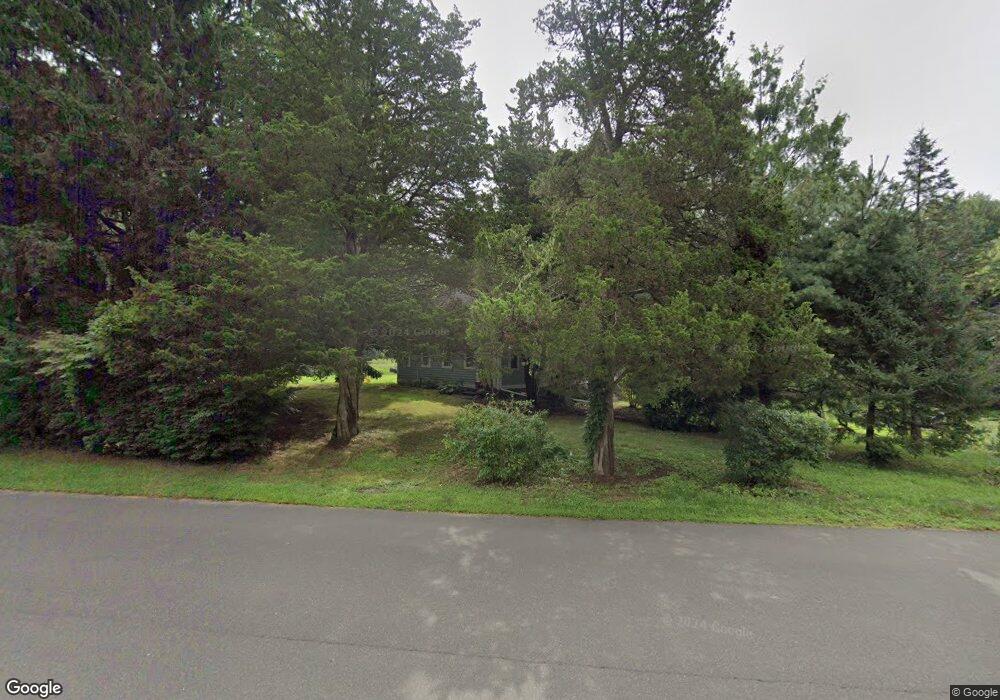
148 Mungertown Rd Madison, CT 06443
Estimated Value: $659,546 - $693,000
2
Beds
2
Baths
2,045
Sq Ft
$330/Sq Ft
Est. Value
About This Home
This home is located at 148 Mungertown Rd, Madison, CT 06443 and is currently estimated at $675,387, approximately $330 per square foot. 148 Mungertown Rd is a home located in New Haven County with nearby schools including Walter C. Polson Upper Middle School, Daniel Hand High School, and Our Lady of Mercy Preparatory Academy.
Ownership History
Date
Name
Owned For
Owner Type
Purchase Details
Closed on
Feb 22, 2022
Sold by
Donofrio Michael M and Donofrio Robin E
Bought by
Donofrio Michael M and Donofrio Robin E
Current Estimated Value
Home Financials for this Owner
Home Financials are based on the most recent Mortgage that was taken out on this home.
Original Mortgage
$161,500
Interest Rate
3.09%
Mortgage Type
Stand Alone Refi Refinance Of Original Loan
Purchase Details
Closed on
Jul 1, 1996
Sold by
Snow Helen F
Bought by
Donofrio Michael M and Lewis Robin E
Create a Home Valuation Report for This Property
The Home Valuation Report is an in-depth analysis detailing your home's value as well as a comparison with similar homes in the area
Home Values in the Area
Average Home Value in this Area
Purchase History
| Date | Buyer | Sale Price | Title Company |
|---|---|---|---|
| Donofrio Michael M | -- | None Available | |
| Donofrio Michael M | $110,000 | -- | |
| Donofrio Michael M | $110,000 | -- |
Source: Public Records
Mortgage History
| Date | Status | Borrower | Loan Amount |
|---|---|---|---|
| Previous Owner | Donofrio Michael M | $161,500 | |
| Previous Owner | Donofrio Michael M | $225,000 | |
| Previous Owner | Donofrio Michael M | $175,000 | |
| Previous Owner | Donofrio Michael M | $50,000 |
Source: Public Records
Tax History Compared to Growth
Tax History
| Year | Tax Paid | Tax Assessment Tax Assessment Total Assessment is a certain percentage of the fair market value that is determined by local assessors to be the total taxable value of land and additions on the property. | Land | Improvement |
|---|---|---|---|---|
| 2025 | $9,156 | $408,200 | $124,800 | $283,400 |
| 2024 | $8,980 | $408,200 | $124,800 | $283,400 |
| 2023 | $2,883 | $240,300 | $95,900 | $144,400 |
| 2022 | $2,829 | $240,300 | $95,900 | $144,400 |
| 2021 | $7,631 | $264,500 | $95,900 | $168,600 |
| 2020 | $6,917 | $244,000 | $95,900 | $148,100 |
| 2019 | $6,852 | $241,700 | $95,900 | $145,800 |
| 2018 | $7,161 | $255,400 | $92,500 | $162,900 |
| 2017 | $6,972 | $255,400 | $92,500 | $162,900 |
| 2016 | $6,766 | $255,400 | $92,500 | $162,900 |
| 2015 | $5,616 | $218,000 | $92,500 | $125,500 |
| 2014 | $6,582 | $261,500 | $141,600 | $119,900 |
Source: Public Records
Map
Nearby Homes
- 7 Derenthal Dr
- 259 Mungertown Rd
- 31 Stony Lane Lot 3 Rd
- 108 Boston Post Rd
- 31 Stony Lane Lot 6 Rd
- 31 Stony Lane Lot 1 Rd
- 31 Stony Lane Lot 2 Rd
- 75 Fairview Dr
- 67 Boston Post Rd Unit 8
- 18 Kelsey Place
- 62 Wellsweep Dr
- 66 Beaver Pond Rd
- 37 Lantern Hill Rd
- 26 Opening Hill Rd
- 38 Opening Hill Rd
- 3 Arrowhead Rd
- 115 Harbor Ave
- 231 Nortontown Rd
- 146 Chittenden Field Ln
- 513 Boston Post Rd
- 148 Mungertown Rd
- 157 Mungertown Rd
- 40 Nortontown Rd
- 139 Mungertown Rd
- 15 Derenthal Dr
- 162 Mungertown Rd
- 19 Derenthal Dr
- 163 Mungertown Rd
- 25 Derenthal Dr
- 170 Mungertown Rd
- 169 Mungertown Rd
- 20 Corinth Dr
- 13 Langshire Dr
- 38 Nortontown Rd
- 15 Nortontown Rd
- 29 Derenthal Dr
- 7 Langshire Dr
- 175 Mungertown Rd
- 178 Mungertown Rd
- 13 Corinth Dr