148 NW 611th Rd Centerview, MO 64019
Estimated Value: $409,000 - $509,236
4
Beds
3
Baths
2,711
Sq Ft
$167/Sq Ft
Est. Value
About This Home
This home is located at 148 NW 611th Rd, Centerview, MO 64019 and is currently estimated at $452,079, approximately $166 per square foot. 148 NW 611th Rd is a home located in Johnson County with nearby schools including Crest Ridge Elementary School and Crest Ridge High School.
Ownership History
Date
Name
Owned For
Owner Type
Purchase Details
Closed on
Jun 28, 2017
Sold by
Taylor William George and Taylor Amanda Beth
Bought by
Cavanah Christopher and Cavanah Sarah
Current Estimated Value
Home Financials for this Owner
Home Financials are based on the most recent Mortgage that was taken out on this home.
Original Mortgage
$233,000
Outstanding Balance
$191,935
Interest Rate
4.02%
Mortgage Type
New Conventional
Estimated Equity
$260,144
Create a Home Valuation Report for This Property
The Home Valuation Report is an in-depth analysis detailing your home's value as well as a comparison with similar homes in the area
Purchase History
| Date | Buyer | Sale Price | Title Company |
|---|---|---|---|
| Cavanah Christopher | -- | None Available |
Source: Public Records
Mortgage History
| Date | Status | Borrower | Loan Amount |
|---|---|---|---|
| Open | Cavanah Christopher | $233,000 |
Source: Public Records
Tax History
| Year | Tax Paid | Tax Assessment Tax Assessment Total Assessment is a certain percentage of the fair market value that is determined by local assessors to be the total taxable value of land and additions on the property. | Land | Improvement |
|---|---|---|---|---|
| 2025 | $3,309 | $47,757 | $0 | $0 |
| 2024 | $3,309 | $43,720 | $0 | $0 |
| 2023 | $3,088 | $43,720 | $0 | $0 |
| 2022 | $2,994 | $41,858 | $0 | $0 |
| 2021 | $2,948 | $41,478 | $0 | $0 |
| 2020 | $2,838 | $39,615 | $0 | $0 |
| 2019 | $2,777 | $39,615 | $0 | $0 |
| 2017 | $2,608 | $39,615 | $0 | $0 |
| 2016 | $2,607 | $39,615 | $0 | $0 |
| 2015 | $2,589 | $39,615 | $0 | $0 |
| 2014 | $2,586 | $39,615 | $0 | $0 |
Source: Public Records
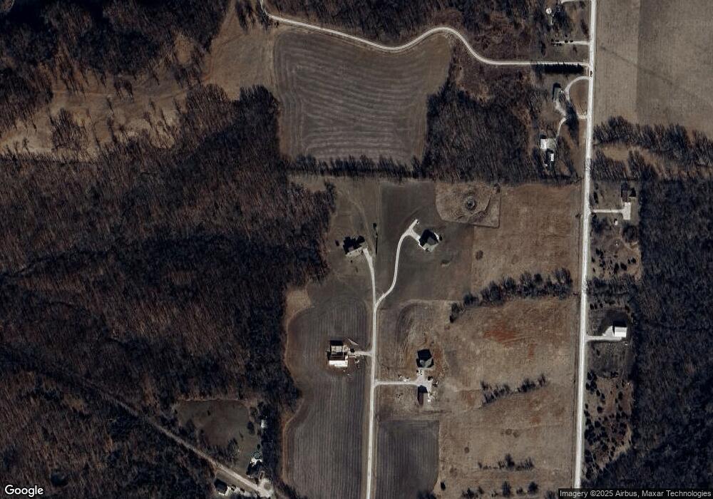
Map
Nearby Homes
- 507 NW 165th Rd
- 412 NW 701st Rd
- 26 SW 491st Rd
- TBD Lot 7 491st Rd
- 0 Tbd Lot 2 491st Rd
- 786 NW 100th Rd
- TBD NW 361st Rd
- 000 SW 100th Rd
- 64 SW 401st Rd
- 52 401st (North 65) Rd
- 52 401st (South 65) Rd
- 65 SW 150th Rd
- 66 SW 150th Rd
- 120 NW 191 Rd
- 125 NW 171 Rd
- 962 NW 445 Rd
- 1086 SW 75th Rd
- 734 Iron Horse Dr
- 733 Burlington Rd
- 120 SW County Road U
- 148 NW 611th Rd
- 147 NW 611th Rd
- 124 NW 611th Rd
- 135 NW 611th Rd
- 147 NW 611th Rd
- 611 NW 105th Rd
- 156 NW 601st Rd
- 158 NW 601st Rd
- 602 NW 105th Rd
- 149 NW 601st Rd
- 166 NW 601st Rd
- 596 NW 105th Rd
- 162 NW 601st Rd
- 592 NW 105th Rd
- 592 NW 105 Rd
- 588 NW 105th Rd
- 115 NW 601st Rd
- ??? NW 601 Rd
- ?? NW 601 Rd
- 0 NW 601 Rd Unit 1656514
Your Personal Tour Guide
Ask me questions while you tour the home.