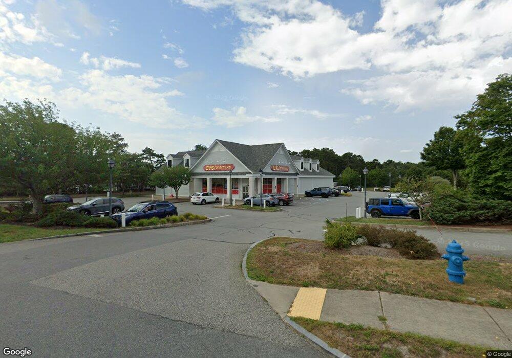
148 Route 137 Harwich, MA 2645
Estimated Value: $6,711,214
--
Bed
1
Bath
9,732
Sq Ft
$690/Sq Ft
Est. Value
About This Home
This home is located at 148 Route 137, Harwich, MA 2645 and is currently estimated at $6,711,214, approximately $689 per square foot. 148 Route 137 is a home located in Barnstable County with nearby schools including Harwich Elementary School, Chatham Elementary School, and Monomoy Regional Middle School.
Ownership History
Date
Name
Owned For
Owner Type
Purchase Details
Closed on
Jun 22, 1999
Sold by
Quason Nt and Doane
Bought by
Harwich Dev Llc
Current Estimated Value
Home Financials for this Owner
Home Financials are based on the most recent Mortgage that was taken out on this home.
Original Mortgage
$679,000
Outstanding Balance
$178,189
Interest Rate
6.99%
Mortgage Type
Commercial
Estimated Equity
$6,533,025
Create a Home Valuation Report for This Property
The Home Valuation Report is an in-depth analysis detailing your home's value as well as a comparison with similar homes in the area
Home Values in the Area
Average Home Value in this Area
Purchase History
| Date | Buyer | Sale Price | Title Company |
|---|---|---|---|
| Harwich Dev Llc | $750,000 | -- | |
| Harwich Dev Llc | $750,000 | -- |
Source: Public Records
Mortgage History
| Date | Status | Borrower | Loan Amount |
|---|---|---|---|
| Open | Harwich Dev Llc | $679,000 | |
| Closed | Harwich Dev Llc | $679,000 |
Source: Public Records
Tax History Compared to Growth
Tax History
| Year | Tax Paid | Tax Assessment Tax Assessment Total Assessment is a certain percentage of the fair market value that is determined by local assessors to be the total taxable value of land and additions on the property. | Land | Improvement |
|---|---|---|---|---|
| 2025 | $11,634 | $1,968,600 | $897,100 | $1,071,500 |
| 2024 | $11,572 | $1,919,000 | $862,500 | $1,056,500 |
| 2023 | $12,302 | $1,852,700 | $821,300 | $1,031,400 |
| 2022 | $14,327 | $1,766,600 | $774,900 | $991,700 |
| 2021 | $15,173 | $1,764,300 | $767,900 | $996,400 |
| 2020 | $15,341 | $1,757,300 | $755,700 | $1,001,600 |
| 2019 | $14,886 | $1,716,900 | $726,300 | $990,600 |
| 2018 | $15,477 | $1,707,500 | $726,300 | $981,200 |
| 2017 | $14,946 | $1,666,200 | $691,400 | $974,800 |
| 2016 | $14,922 | $1,645,200 | $677,800 | $967,400 |
| 2015 | $14,573 | $1,624,600 | $664,400 | $960,200 |
| 2014 | $13,924 | $1,587,700 | $645,100 | $942,600 |
Source: Public Records
Map
Nearby Homes
- 160 Route 137
- 138 Route 137
- 0 Massachusetts 137
- 1464 Orleans Rd
- 149 Route 137
- 157 Route 137
- 1 Auston Rd Unit A
- 1421 Orleans-Harwich Rd
- 1421 Orleans Rd
- 1404 Orleans Rd
- 0 Rte 137 Chatham Brew
- 129 Route 137
- 11 Spences Trace
- 175 Route 137
- 182 Route 137
- 1470 Orleans Rd
- 1470 Orleans Rd
- 2 Spence's Trace
- 6 Spences Trace
- 119 Route 137