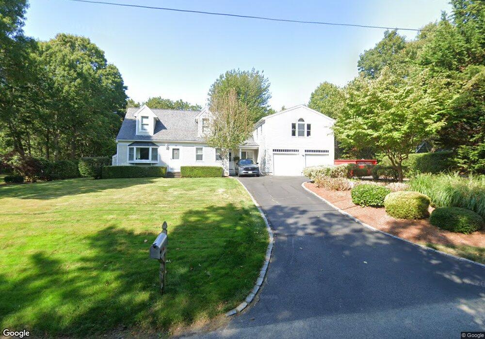
148 Sampsons Mill Rd Mashpee, MA 02649
Estimated Value: $683,000 - $811,000
About This Home
This home is located at 148 Sampsons Mill Rd, Mashpee, MA 02649 and is currently estimated at $758,200, approximately $369 per square foot. 148 Sampsons Mill Rd is a home located in Barnstable County with nearby schools including Kenneth C. Coombs School, Quashnet School, and Mashpee Middle School.
Ownership History
We collect this data history from publicly available records. To have your information removed, we recommend requesting removal directly through your county’s website.
Purchase Details
Home Financials for this Owner
Home Financials are based on the most recent Mortgage that was taken out on this home.Purchase Details
Home Financials for this Owner
Home Financials are based on the most recent Mortgage that was taken out on this home.Purchase History
We collect this data history from publicly available records. To have your information removed, we recommend requesting removal directly through your county’s website.
| Date | Buyer | Sale Price | Title Company |
|---|---|---|---|
| $84,000 | -- | ||
| $109,396 | -- |
Mortgage History
We collect this data history from publicly available records. To have your information removed, we recommend requesting removal directly through your county’s website.
| Date | Status | Borrower | Loan Amount |
|---|---|---|---|
| Open | $84,000 |
Tax History
We collect this data history from publicly available records. To have your information removed, we recommend requesting removal directly through your county’s website.
| Year | Tax Paid | Tax Assessment Tax Assessment Total Assessment is a certain percentage of the fair market value that is determined by local assessors to be the total taxable value of land and additions on the property. | Land | Improvement |
|---|---|---|---|---|
| 2025 | $4,263 | $643,900 | $190,100 | $453,800 |
| 2024 | $3,893 | $605,400 | $172,900 | $432,500 |
| 2023 | $3,645 | $520,000 | $164,600 | $355,400 |
| 2022 | $3,470 | $424,700 | $133,800 | $290,900 |
| 2021 | $3,404 | $375,300 | $120,500 | $254,800 |
| 2020 | $3,311 | $364,200 | $115,900 | $248,300 |
| 2019 | $21,231 | $346,300 | $115,900 | $230,400 |
| 2018 | $2,599 | $330,100 | $115,900 | $214,200 |
| 2017 | $2,852 | $310,300 | $115,900 | $194,400 |
| 2016 | $2,742 | $296,700 | $115,900 | $180,800 |
| 2015 | $2,634 | $289,100 | $115,900 | $173,200 |
| 2014 | $2,699 | $287,400 | $114,500 | $172,900 |
Map
- 131 Dunrobin Rd
- 70 Cape Dr Unit 14D
- 70 Simons Rd Unit E
- 70 Simons Rd
- 10 Abbey Gate Rd
- 75 Trout Brook Rd
- 7 Oxford Dr
- 30 Pleasant Park Dr
- 107 Abbey Gate Rd
- 140 Pheasant Hill Cir
- 140 Pheasant Hill Cir
- 1820 Santuit Newtown Rd
- 4 Bishops Park
- 114 Orchard Rd
- 15 Riverview Ave Unit D
- 13 Cedar St
- 22 Stratford Ridge Unit 22
- 145 Quinaquisset Ave
- 359 Santuit Rd
- 359 Santuit Rd
- 117 Sampsons Old Mill
- 154 Sampsons Mill Rd
- 142 Sampsons Mill Rd
- 160 Sampsons Mill Rd
- 145 Sampsons Mill Rd
- 151 Sampsons Mill Rd
- 106 Cape Dr
- 137 Sampsons Mill Rd
- 98 Cape Dr
- 137 Sampson's Mill Rd
- 101 Quippish Rd
- 90 Cape Dr
- 131 Sampsons Mill Rd
- 135 Sampsons Mill Rd
- 0 Sampsons Mill Rd
- 126 Sampsons Mill Rd
- 99 Cape Dr
- 127 Sampsons Mill Rd
- 93 Cape Dr
- 46 Cranberry Ridge Rd
Ask me questions while you tour the home.