14802 Range Line Rd Weston, OH 43569
Estimated Value: $34,000 - $77,472
Studio
--
Bath
--
Sq Ft
23,958
Sq Ft
About This Home
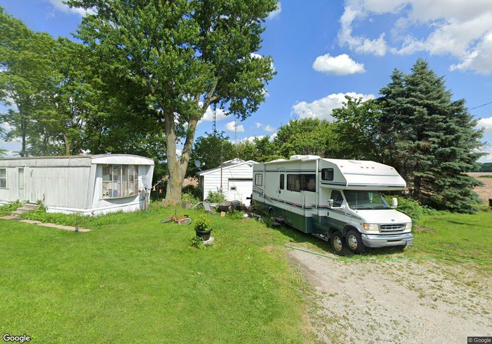
This home is located at 14802 Range Line Rd, Weston, OH 43569 and is currently estimated at $55,736. 14802 Range Line Rd is a home located in Wood County with nearby schools including Otsego Elementary School, Otsego Junior High School, and Otsego High School.
Ownership History
Date
Name
Owned For
Owner Type
Purchase Details
Closed on
Jan 9, 2026
Sold by
Wells Fargo Capital Finance Llc
Bought by
Mccance Kimberly
Current Estimated Value
Purchase Details
Closed on
Nov 21, 2007
Sold by
Sn Commercial Llc
Bought by
Wells Fargo Foothill Inc
Purchase Details
Closed on
Dec 16, 2005
Sold by
Sngc Llc
Bought by
Christiana Bank & Trust Co and The Security National Funding Trust
Purchase Details
Closed on
May 10, 2005
Sold by
Stevens James L and Stevens Gioconda E
Bought by
Western United Life Assurance Co
Purchase Details
Closed on
Dec 13, 2003
Sold by
Stevens Ray L and Stevens Debra
Bought by
Stevens James L and Stevens Gioconda E
Purchase Details
Closed on
Jul 18, 2002
Sold by
Stevens Doris J
Bought by
Stevens Ray L
Purchase Details
Closed on
Aug 4, 2000
Sold by
Feasel Jack
Bought by
Stevens Ray L and Stevens Doris L
Purchase Details
Closed on
Feb 25, 2000
Sold by
Estate Of Ruth Ann Feased
Bought by
Feasel Jack
Purchase Details
Closed on
Jan 1, 1990
Bought by
Feasel Jack
Create a Home Valuation Report for This Property
The Home Valuation Report is an in-depth analysis detailing your home's value as well as a comparison with similar homes in the area
Purchase History
| Date | Buyer | Sale Price | Title Company |
|---|---|---|---|
| Mccance Kimberly | -- | None Listed On Document | |
| Wells Fargo Foothill Inc | -- | None Available | |
| Sn Commercial Llc | -- | None Available | |
| Christiana Bank & Trust Co | $18,000 | None Available | |
| Sngc Llc | $18,000 | None Available | |
| Western United Life Assurance Co | $10,000 | -- | |
| Stevens James L | $8,500 | -- | |
| Stevens Ray L | -- | -- | |
| Stevens Ray L | $15,000 | -- | |
| Feasel Jack | -- | -- | |
| Feasel Jack | -- | -- |
Source: Public Records
Tax History
| Year | Tax Paid | Tax Assessment Tax Assessment Total Assessment is a certain percentage of the fair market value that is determined by local assessors to be the total taxable value of land and additions on the property. | Land | Improvement |
|---|---|---|---|---|
| 2025 | $397 | $9,310 | $8,645 | $665 |
| 2024 | $394 | $9,310 | $8,645 | $665 |
| 2023 | $394 | $9,320 | $8,650 | $670 |
| 2021 | $402 | $8,650 | $7,910 | $740 |
| 2020 | $405 | $8,650 | $7,910 | $740 |
| 2019 | $414 | $8,610 | $7,910 | $700 |
| 2018 | $408 | $8,610 | $7,910 | $700 |
| 2017 | $411 | $8,610 | $7,910 | $700 |
| 2016 | $431 | $9,630 | $8,050 | $1,580 |
| 2015 | $431 | $9,630 | $8,050 | $1,580 |
| 2014 | $417 | $9,630 | $8,050 | $1,580 |
| 2013 | $457 | $9,630 | $8,050 | $1,580 |
Source: Public Records
Map
Nearby Homes
- 15722 Range Line Rd
- 0 Otsego Pike Unit 6136991
- 17884 Euler Rd
- 0 Sand Ridge Rd Unit 10004038
- 20210 Oak St
- 17267 Reams Rd
- 17345 Reams Rd
- 14590 Liberty Hi Rd
- 16920 Long Judson Rd
- 16896 Long Judson Rd
- 0 Kellogg Rd Unit 6125521
- 22888 Wintergreen Rd
- 0 Portage Rd Unit 10004034
- 18710 Washington St
- 18722 Crom St
- 916 Kathy Dr
- 1800 Timber Ridge Dr
- 1738 Dolly Dr
- 1742 Dolly Dr
- 0 Mitchell Rd S Unit LotWP001
- 18777 W Bowling Green Rd
- 18767 State Route 6
- 18767 St Rt 6
- 15160 Range Line Rd
- 19270 St Rt 6
- 19270 Us Highway 6
- 19245 Us Route 6
- 19245 Us Route 6
- 18777 Us Route 6
- 18767 Us Route 6
- 18767 Us Route 6
- 19520 Us Route 6
- 19625 W Bowling Green Rd
- 19625 Us Route 6
- 15510 Range Line Rd
- 19677 Us Highway 6
- 19675 Us Highway 6
- 19260 Willow Rd
- 19773 Us Highway 6
- 19292 Willow Rd
Your Personal Tour Guide
Ask me questions while you tour the home.