14804 W Yoder Rd Roanoke, IN 46783
Estimated Value: $243,000
3
Beds
1
Bath
1,484
Sq Ft
$164/Sq Ft
Est. Value
About This Home
This home is located at 14804 W Yoder Rd, Roanoke, IN 46783 and is currently estimated at $243,000, approximately $163 per square foot. 14804 W Yoder Rd is a home located in Allen County with nearby schools including Lafayette Meadow School, Summit Middle School, and Homestead Senior High School.
Ownership History
Date
Name
Owned For
Owner Type
Purchase Details
Closed on
Jan 16, 2025
Sold by
Hitzfield Brooks and Hitzfield Catherine
Bought by
Hitzfield Blake and Hitzfield Kimberly
Current Estimated Value
Purchase Details
Closed on
Nov 1, 2019
Sold by
Hitzfield Farms Inc
Bought by
Hitzfield Brooks
Purchase Details
Closed on
Jan 24, 2014
Sold by
Hitzfield A Larry
Bought by
Hitzfield Farms Inc
Home Financials for this Owner
Home Financials are based on the most recent Mortgage that was taken out on this home.
Original Mortgage
$283,202
Interest Rate
4.42%
Mortgage Type
Future Advance Clause Open End Mortgage
Create a Home Valuation Report for This Property
The Home Valuation Report is an in-depth analysis detailing your home's value as well as a comparison with similar homes in the area
Purchase History
| Date | Buyer | Sale Price | Title Company |
|---|---|---|---|
| Hitzfield Blake | -- | Metropolitan Title Of In | |
| Hitzfield Brooks | -- | None Available | |
| Hitzfield Farms Inc | -- | Lawyers Title |
Source: Public Records
Mortgage History
| Date | Status | Borrower | Loan Amount |
|---|---|---|---|
| Previous Owner | Hitzfield Farms Inc | $283,202 |
Source: Public Records
Tax History
| Year | Tax Paid | Tax Assessment Tax Assessment Total Assessment is a certain percentage of the fair market value that is determined by local assessors to be the total taxable value of land and additions on the property. | Land | Improvement |
|---|---|---|---|---|
| 2025 | $3,557 | $216,500 | $129,700 | $86,800 |
| 2024 | $2,908 | $222,800 | $139,500 | $83,300 |
| 2023 | $2,879 | $162,900 | $116,300 | $46,600 |
| 2022 | $2,086 | $139,500 | $91,800 | $47,700 |
| 2021 | $2,301 | $145,800 | $105,900 | $39,900 |
| 2020 | $2,361 | $145,000 | $105,100 | $39,900 |
| 2019 | $3,170 | $251,200 | $159,500 | $91,700 |
| 2018 | $4,111 | $248,800 | $163,600 | $85,200 |
| 2017 | $4,581 | $261,000 | $183,500 | $77,500 |
| 2016 | $4,864 | $267,000 | $192,600 | $74,400 |
| 2014 | $4,500 | $244,900 | $200,100 | $44,800 |
| 2013 | $4,982 | $258,200 | $216,700 | $41,500 |
Source: Public Records
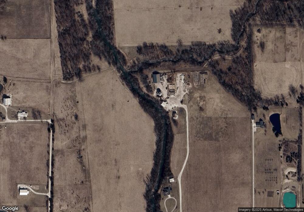
Map
Nearby Homes
- 14277 Aboite Rd
- 13011 Hamilton Rd
- TBD W Yoder Rd
- 4565 E Station Rd
- TBD Feighner Rd
- tbd Kilsoquah
- 621 Nancyk Crossing
- 602 Nancyk Crossing
- 183 W Vine St
- 0 Ginger Rd
- 17503 Wayne St
- 451 Rockwell Ave
- 11099 Carob Thorn Trail
- 11132 Carob Thorn Trail
- 686 Puttman Place
- 10937 Carob Thorn Trail
- 416 Nordyk Dr
- 10926 Carob Thorn Trail
- 775 N Seminary St
- 5156 N Mayne Rd
- 14608 W Yoder Rd
- 14808 W Yoder Rd
- 14615 Hamilton Rd
- 14530 W Yoder Rd
- 7334 N 600 E
- 14516 W Yoder Rd
- 7294 N 600 E
- 14609 Hamilton Rd
- 14428 W Yoder Rd
- 14617 Hamilton Rd
- 14229 Yoder Rd
- 14402 W Yoder Rd
- 5942 E 700 N
- 5937 E 700 N
- 5868 E 700 N
- 5931 E 700 N
- 14541 Hamilton Rd
- 6814 N 600 E
- 5875 E 700 N
- 5712 E 700 N
Your Personal Tour Guide
Ask me questions while you tour the home.