Estimated Value: $182,000 - $208,000
3
Beds
1
Bath
1,296
Sq Ft
$151/Sq Ft
Est. Value
About This Home
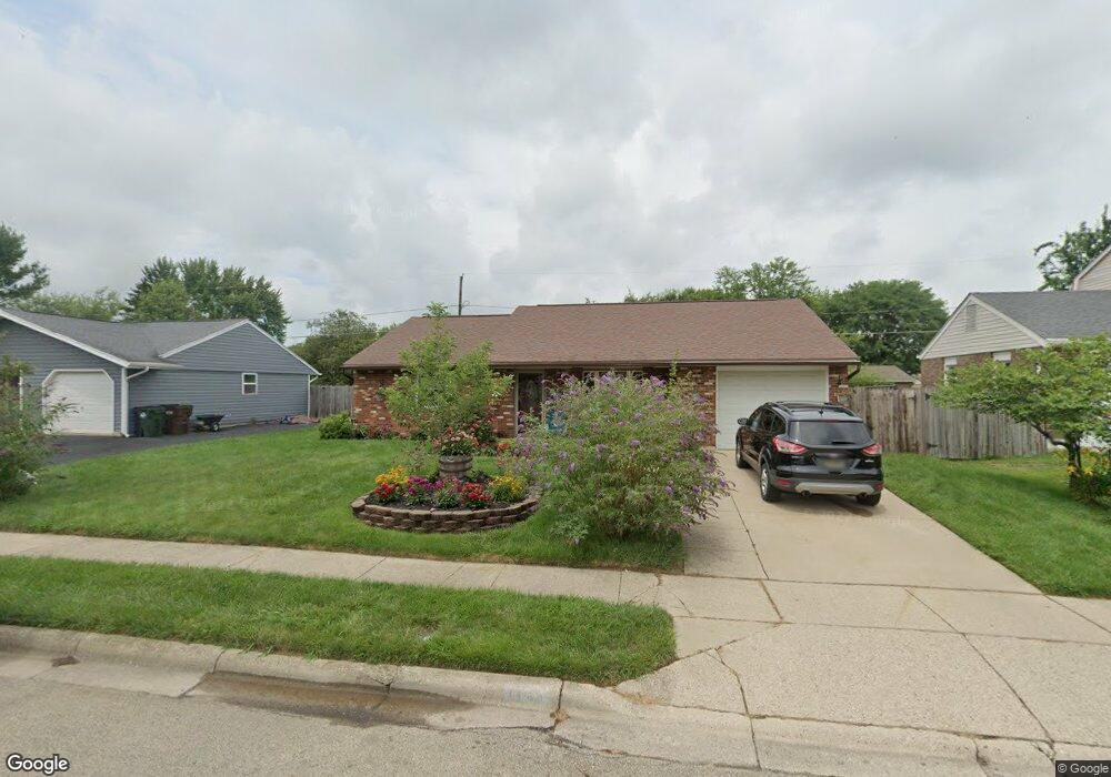
This home is located at 1481 Commonwealth Dr, Xenia, OH 45385 and is currently estimated at $196,333, approximately $151 per square foot. 1481 Commonwealth Dr is a home located in Greene County with nearby schools including Xenia High School, Summit Academy Community School for Alternative Learners - Xenia, and Legacy Christian Academy.
Ownership History
Date
Name
Owned For
Owner Type
Purchase Details
Closed on
Dec 17, 1997
Sold by
Pace Kenneth E
Bought by
Tuck Rick A
Current Estimated Value
Home Financials for this Owner
Home Financials are based on the most recent Mortgage that was taken out on this home.
Original Mortgage
$74,861
Outstanding Balance
$12,810
Interest Rate
7.36%
Mortgage Type
FHA
Estimated Equity
$183,523
Create a Home Valuation Report for This Property
The Home Valuation Report is an in-depth analysis detailing your home's value as well as a comparison with similar homes in the area
Home Values in the Area
Average Home Value in this Area
Purchase History
| Date | Buyer | Sale Price | Title Company |
|---|---|---|---|
| Tuck Rick A | $74,900 | -- |
Source: Public Records
Mortgage History
| Date | Status | Borrower | Loan Amount |
|---|---|---|---|
| Open | Tuck Rick A | $74,861 |
Source: Public Records
Tax History Compared to Growth
Tax History
| Year | Tax Paid | Tax Assessment Tax Assessment Total Assessment is a certain percentage of the fair market value that is determined by local assessors to be the total taxable value of land and additions on the property. | Land | Improvement |
|---|---|---|---|---|
| 2024 | $2,209 | $52,970 | $11,210 | $41,760 |
| 2023 | $2,209 | $52,970 | $11,210 | $41,760 |
| 2022 | $1,847 | $37,760 | $6,590 | $31,170 |
| 2021 | $1,872 | $37,760 | $6,590 | $31,170 |
| 2020 | $1,791 | $37,760 | $6,590 | $31,170 |
| 2019 | $1,551 | $30,780 | $6,440 | $24,340 |
| 2018 | $1,557 | $30,780 | $6,440 | $24,340 |
| 2017 | $1,418 | $30,780 | $6,440 | $24,340 |
| 2016 | $1,419 | $27,530 | $6,440 | $21,090 |
| 2015 | $1,423 | $27,530 | $6,440 | $21,090 |
| 2014 | $1,361 | $27,530 | $6,440 | $21,090 |
Source: Public Records
Map
Nearby Homes
- 1769 Gayhart Dr
- 1829 Gayhart Dr
- 1403 Texas Dr
- 1908 Whitt St
- 1778 Arapaho Dr
- 1866 Roxbury Dr
- 1255 Colorado Dr
- 1653 Seneca Dr
- 1107 Arkansas Dr
- 1618 Navajo Dr
- 2257 Maryland Dr
- 2142 Michigan Dr
- 2345 Tennessee Dr
- 2499 Jenny Marie Dr
- 414 Whisper Ln
- 2545 Harmony Dr
- 2758 Wyoming Dr
- 1272 Bellbrook Ave
- 1568 Cheyenne Dr
- 2540 Jenny Marie Dr
- 1495 Commonwealth Dr
- 1467 Commonwealth Dr
- 1501 Texas Dr
- 1509 Texas Dr
- 1509 Commonwealth Dr
- 1453 Commonwealth Dr
- 1506 Commonwealth Dr
- 1492 Commonwealth Dr
- 1520 Commonwealth Dr
- 1473 Texas Dr
- 1478 Commonwealth Dr
- 1515 Texas Dr
- 1523 Commonwealth Dr
- 1779 Gayhart Dr
- 1459 Texas Dr
- 1801 Gayhart Dr
- 1548 Commonwealth Dr
- 1557 Roxbury Dr
- 1533 Roxbury Dr
- 1755 Gayhart Dr