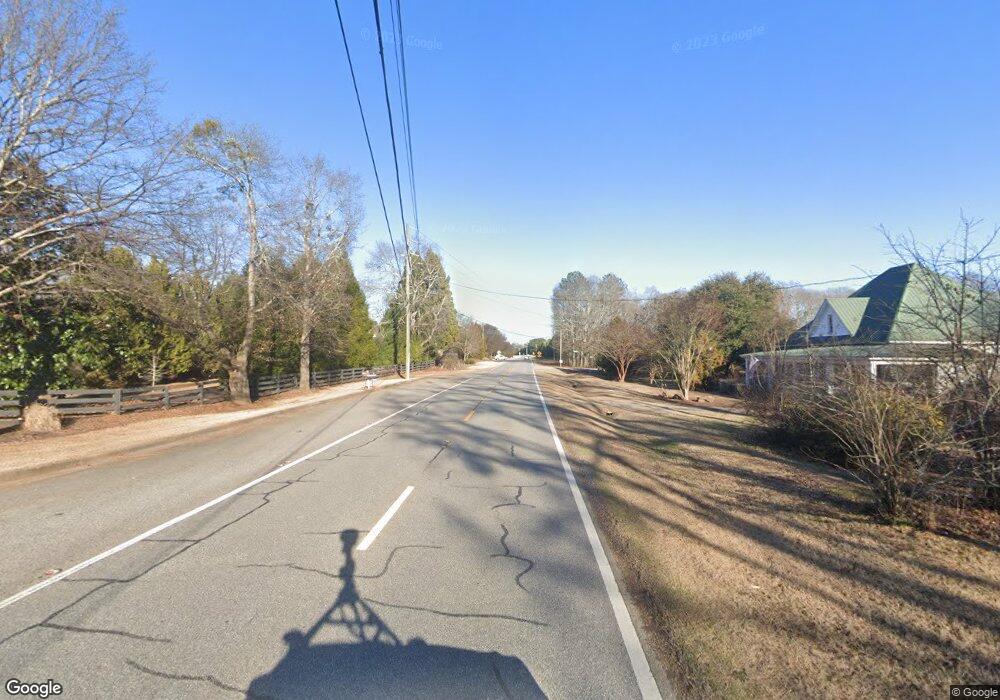
1481 Hodges Mill Rd Bogart, GA 30622
Estimated Value: $693,000 - $832,000
3
Beds
3
Baths
2,444
Sq Ft
$306/Sq Ft
Est. Value
About This Home
This home is located at 1481 Hodges Mill Rd, Bogart, GA 30622 and is currently estimated at $747,178, approximately $305 per square foot. 1481 Hodges Mill Rd is a home located in Oconee County with nearby schools including Rocky Branch Elementary School, Malcom Bridge Middle School, and North Oconee High School.
Ownership History
Date
Name
Owned For
Owner Type
Purchase Details
Closed on
Jul 6, 2006
Sold by
Not Provided
Bought by
Riddle David J and Riddle Kathryn L
Current Estimated Value
Home Financials for this Owner
Home Financials are based on the most recent Mortgage that was taken out on this home.
Original Mortgage
$274,500
Outstanding Balance
$161,972
Interest Rate
6.54%
Mortgage Type
New Conventional
Estimated Equity
$585,206
Create a Home Valuation Report for This Property
The Home Valuation Report is an in-depth analysis detailing your home's value as well as a comparison with similar homes in the area
Home Values in the Area
Average Home Value in this Area
Purchase History
| Date | Buyer | Sale Price | Title Company |
|---|---|---|---|
| Riddle David J | $305,000 | -- |
Source: Public Records
Mortgage History
| Date | Status | Borrower | Loan Amount |
|---|---|---|---|
| Open | Riddle David J | $274,500 |
Source: Public Records
Tax History Compared to Growth
Tax History
| Year | Tax Paid | Tax Assessment Tax Assessment Total Assessment is a certain percentage of the fair market value that is determined by local assessors to be the total taxable value of land and additions on the property. | Land | Improvement |
|---|---|---|---|---|
| 2024 | $3,684 | $276,081 | $154,064 | $122,017 |
| 2023 | $3,684 | $257,877 | $142,653 | $115,224 |
| 2022 | $4,189 | $212,781 | $114,123 | $98,658 |
| 2021 | $4,466 | $193,176 | $103,748 | $89,428 |
| 2020 | $4,122 | $178,021 | $94,317 | $83,704 |
| 2019 | $3,751 | $162,057 | $82,014 | $80,043 |
| 2018 | $3,473 | $146,920 | $74,558 | $72,362 |
| 2017 | $3,063 | $129,620 | $62,132 | $67,488 |
| 2016 | $2,703 | $114,417 | $56,484 | $57,933 |
| 2015 | $2,720 | $114,884 | $56,484 | $58,400 |
| 2014 | $2,607 | $107,676 | $51,350 | $56,327 |
| 2013 | -- | $103,276 | $48,342 | $54,934 |
Source: Public Records
Map
Nearby Homes
- 2632 Morningside Way
- 1381 Mayfair Way
- 0 Us 53 Hwy Unit 10376334
- 1895 Vintage Place
- 1710 Whistling Creek
- 1190 Wareview Ct
- 1381 Malcom Estates
- 2141 Malcom Estates
- 2165 Harperfield Dr
- 1141 Field Ln
- 1105 Harperfield Dr
- Everett with Crawl Space Plan at Willow Creek
- Fairmont with Crawl Space Plan at Willow Creek
- Bristol with Basement Plan at Willow Creek
- Everett with Basement Plan at Willow Creek
- Fairmont with Basement Plan at Willow Creek
- Bristol with Crawl Space Plan at Willow Creek
- 1786 Cambridge Square
- 0 Clotfelter Rd Unit 1025303
- 1360 Longleaf Ct
- 1481 Hodges Mill Rd
- 1040 Timarron Trail Unit Lot 5B
- 1040 Timarron Trail
- 1041 St Albans Path
- 1020 St Albans Path
- 1020 St Albans Path Unit Lot 17
- 0 Saint Albans Path
- 0 Timarron Trail Unit 7427505
- 0 Timarron Trail Unit 8028153
- 0 Timarron Trail
- 1011 Timarron Trail
- 1040 Saint Albans Path
- 1031 Timarron Trail Unit Lot 2A
- 1031 Timarron Trail
- 1060 Timarron Trail
- 1080 Timarron Trail
- 1050 Saint Albans Path
- 1061 Saint Albans Path
- 1051 Timarron Trail
- 1051 Timarron Trail