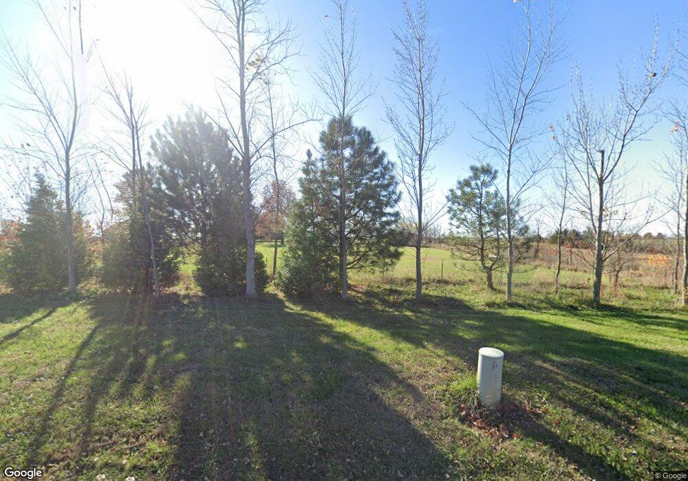
14811 Hollingsworth Rd Basehor, KS 66007
Estimated Value: $683,000 - $772,959
3
Beds
3
Baths
2,502
Sq Ft
$296/Sq Ft
Est. Value
About This Home
This home is located at 14811 Hollingsworth Rd, Basehor, KS 66007 and is currently estimated at $740,320, approximately $295 per square foot. 14811 Hollingsworth Rd is a home located in Leavenworth County with nearby schools including Basehor Elementary School, Basehor-Linwood Middle School, and Basehor-Linwood High School.
Ownership History
Date
Name
Owned For
Owner Type
Purchase Details
Closed on
Jul 27, 2009
Sold by
Douglas Jeffrey D and Douglas Anne
Bought by
Donald Craig M and Donald Loretta Craig
Current Estimated Value
Home Financials for this Owner
Home Financials are based on the most recent Mortgage that was taken out on this home.
Original Mortgage
$253,100
Outstanding Balance
$166,698
Interest Rate
5.41%
Mortgage Type
VA
Estimated Equity
$573,622
Create a Home Valuation Report for This Property
The Home Valuation Report is an in-depth analysis detailing your home's value as well as a comparison with similar homes in the area
Home Values in the Area
Average Home Value in this Area
Purchase History
| Date | Buyer | Sale Price | Title Company |
|---|---|---|---|
| Donald Craig M | $248,038 | United Title |
Source: Public Records
Mortgage History
| Date | Status | Borrower | Loan Amount |
|---|---|---|---|
| Open | Donald Craig M | $253,100 |
Source: Public Records
Tax History Compared to Growth
Tax History
| Year | Tax Paid | Tax Assessment Tax Assessment Total Assessment is a certain percentage of the fair market value that is determined by local assessors to be the total taxable value of land and additions on the property. | Land | Improvement |
|---|---|---|---|---|
| 2025 | $7,261 | $61,678 | $9,628 | $52,050 |
| 2024 | $6,910 | $61,480 | $9,603 | $51,877 |
| 2023 | $6,910 | $61,450 | $8,998 | $52,452 |
| 2022 | $6,345 | $53,435 | $7,988 | $45,447 |
| 2021 | $5,502 | $46,652 | $6,522 | $40,130 |
| 2020 | $5,231 | $43,442 | $6,239 | $37,203 |
| 2019 | $4,820 | $40,235 | $5,622 | $34,613 |
| 2018 | $4,437 | $37,000 | $4,415 | $32,585 |
| 2017 | $4,456 | $37,060 | $4,397 | $32,663 |
| 2016 | $4,307 | $36,023 | $4,319 | $31,704 |
| 2015 | $3,970 | $33,358 | $3,624 | $29,734 |
| 2014 | $3,961 | $33,364 | $3,603 | $29,761 |
Source: Public Records
Map
Nearby Homes
- 5020 146th St
- 5025 146th St
- 5018 146th St
- 5023 146th St
- 5005 146th St
- 5001 N 145th St
- 4551 N 145th St
- 4576 Aspen Dr
- 4552 Aspen Dr
- 14616 Aspen Cir
- 4615 N 144th Terrace
- 4490 N 145th Terrace
- 14625 Aspen Cir
- 4480 N 145th Terrace
- 14601 Aspen Cir
- 4460 N 145th Terrace
- 14463 Aurora Ln
- Yorkshire V Plan at The Communities of Falcon Lakes - The Communities at Falcon Lakes
- Ashwood Plan at The Communities of Falcon Lakes - The Communities at Falcon Lakes
- Cypress II Plan at The Communities of Falcon Lakes - The Communities at Falcon Lakes
- 14812 Hollingsworth Rd
- 21911 147th St
- 14874 Hollingsworth Rd
- 14726 147th St
- 22007 147th St
- 22003 147th St
- 22005 147th St
- 5012 N 145th St
- 5012 N 145th St
- 5010 N 145th St
- 15041 Hollingsworth Rd
- 5002 N 145th St
- 5002 N 145th St
- 5000 N 145th St
- 14549 Amanda Ln
- 14547 Amanda Ln
- 4910 N 145th St
- 14543 Amanda Ln
- 4908 N 145th St
- 14541 Amanda Ln
