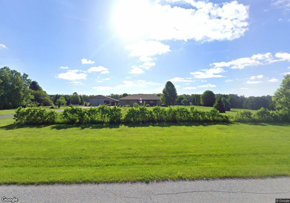
14811 S 1050 W Wanatah, IN 46390
Estimated Value: $426,000 - $487,000
3
Beds
3
Baths
2,611
Sq Ft
$178/Sq Ft
Est. Value
About This Home
This home is located at 14811 S 1050 W, Wanatah, IN 46390 and is currently estimated at $463,759, approximately $177 per square foot. 14811 S 1050 W is a home.
Ownership History
Date
Name
Owned For
Owner Type
Purchase Details
Closed on
Aug 4, 2022
Sold by
Wolf Peggy L
Bought by
Wolf Douglas K
Current Estimated Value
Purchase Details
Closed on
Feb 28, 2014
Sold by
Wolf Douglas and Wolf Peggy
Bought by
Wolf Douglas K and Wolf Peggy
Home Financials for this Owner
Home Financials are based on the most recent Mortgage that was taken out on this home.
Original Mortgage
$490,000
Interest Rate
4.39%
Mortgage Type
FHA
Purchase Details
Closed on
Dec 16, 2013
Sold by
Boehlke Charles E and Boehlke David L
Bought by
Wolf Douglas and Wolf Peggy
Purchase Details
Closed on
Mar 8, 2007
Sold by
Mack James W and Mack Julianne M
Bought by
Wheeler Frank and Wheeler Rose Mary
Create a Home Valuation Report for This Property
The Home Valuation Report is an in-depth analysis detailing your home's value as well as a comparison with similar homes in the area
Home Values in the Area
Average Home Value in this Area
Purchase History
| Date | Buyer | Sale Price | Title Company |
|---|---|---|---|
| Wolf Douglas K | -- | None Listed On Document | |
| Wolf Douglas K | -- | Meridian Title Corp | |
| Wolf Douglas | -- | Meridian Title Corp | |
| Wheeler Frank | -- | None Available |
Source: Public Records
Mortgage History
| Date | Status | Borrower | Loan Amount |
|---|---|---|---|
| Previous Owner | Wolf Douglas K | $490,000 |
Source: Public Records
Tax History Compared to Growth
Tax History
| Year | Tax Paid | Tax Assessment Tax Assessment Total Assessment is a certain percentage of the fair market value that is determined by local assessors to be the total taxable value of land and additions on the property. | Land | Improvement |
|---|---|---|---|---|
| 2024 | $2,227 | $318,800 | $53,400 | $265,400 |
| 2022 | $2,506 | $286,900 | $40,100 | $246,800 |
| 2021 | $2,565 | $276,300 | $40,100 | $236,200 |
| 2020 | $2,434 | $276,300 | $40,100 | $236,200 |
| 2019 | $2,262 | $268,700 | $35,500 | $233,200 |
| 2018 | $2,174 | $263,100 | $35,500 | $227,600 |
| 2017 | $2,044 | $259,300 | $35,500 | $223,800 |
| 2016 | $1,905 | $249,500 | $35,500 | $214,000 |
| 2014 | $1,932 | $254,000 | $35,500 | $218,500 |
Source: Public Records
Map
Nearby Homes
- 627 E 300 S
- 0 W Hwy 30 Unit GNR545374
- 106 N Illinois St Unit 266
- 104 W Cross St
- 305 N Ohio St
- 207 N Washington St
- 116 Sprunger Dr
- 627 Fieldcrest Cir
- 105 Earl St
- 6948 W 1700 S
- 421 Amy Rose Ln
- 202 Genesse St
- 201 E Oneida St
- 802 W Main St
- 601 E Main St
- 9552 S Bigelow Mill Rd
- 9052 W Saint Road 8
- 6465 W 1100 S
- 308 Mill St
- 323 E 124 S