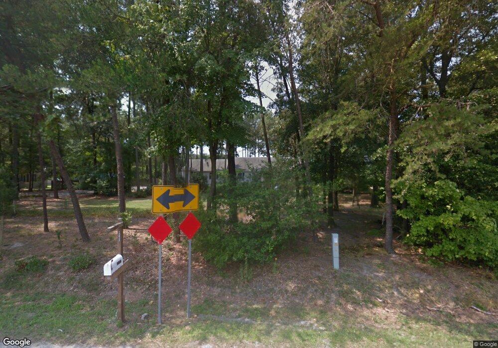
14822 Arvey Rd Laurel, DE 19956
Estimated Value: $270,000 - $302,000
3
Beds
--
Bath
1,280
Sq Ft
$224/Sq Ft
Est. Value
About This Home
This home is located at 14822 Arvey Rd, Laurel, DE 19956 and is currently estimated at $287,116, approximately $224 per square foot. 14822 Arvey Rd is a home located in Sussex County with nearby schools including Delmar Middle School, Delmar Elementary School, and Delmar High School.
Ownership History
Date
Name
Owned For
Owner Type
Purchase Details
Closed on
May 21, 2024
Sold by
King Dakota Jacob and Norman Courtney N
Bought by
Norman Courtney Nicole and Norman Cody Ryder
Current Estimated Value
Home Financials for this Owner
Home Financials are based on the most recent Mortgage that was taken out on this home.
Original Mortgage
$221,589
Outstanding Balance
$218,482
Interest Rate
6.88%
Mortgage Type
FHA
Estimated Equity
$68,634
Purchase Details
Closed on
Apr 1, 2021
Sold by
Kunkowski Brian F and Kunkowski Kathy L
Bought by
King Dakota J and Norman Courtney N
Home Financials for this Owner
Home Financials are based on the most recent Mortgage that was taken out on this home.
Original Mortgage
$221,212
Interest Rate
3%
Mortgage Type
Stand Alone Refi Refinance Of Original Loan
Purchase Details
Closed on
Jun 12, 1991
Bought by
Kunkowski Brian F and Kunkows Kathy L
Create a Home Valuation Report for This Property
The Home Valuation Report is an in-depth analysis detailing your home's value as well as a comparison with similar homes in the area
Home Values in the Area
Average Home Value in this Area
Purchase History
| Date | Buyer | Sale Price | Title Company |
|---|---|---|---|
| Norman Courtney Nicole | $4,850 | None Listed On Document | |
| King Dakota J | $219,000 | None Available | |
| Kunkowski Brian F | -- | -- |
Source: Public Records
Mortgage History
| Date | Status | Borrower | Loan Amount |
|---|---|---|---|
| Open | Norman Courtney Nicole | $221,589 | |
| Previous Owner | King Dakota J | $221,212 |
Source: Public Records
Tax History
| Year | Tax Paid | Tax Assessment Tax Assessment Total Assessment is a certain percentage of the fair market value that is determined by local assessors to be the total taxable value of land and additions on the property. | Land | Improvement |
|---|---|---|---|---|
| 2025 | $900 | $9,700 | $900 | $8,800 |
| 2024 | $487 | $9,700 | $900 | $8,800 |
| 2023 | $487 | $9,700 | $900 | $8,800 |
| 2022 | $475 | $9,700 | $900 | $8,800 |
| 2021 | $477 | $9,700 | $900 | $8,800 |
| 2020 | $516 | $9,700 | $900 | $8,800 |
| 2019 | $452 | $9,700 | $900 | $8,800 |
| 2018 | $441 | $9,700 | $0 | $0 |
| 2017 | $419 | $9,700 | $0 | $0 |
| 2016 | $404 | $9,700 | $0 | $0 |
| 2015 | $403 | $9,700 | $0 | $0 |
| 2014 | $382 | $9,700 | $0 | $0 |
Source: Public Records
Map
Nearby Homes
- 12899 Whitesville Rd
- 14018 Oak Branch Rd
- 12579 Whitesville Rd
- 36831 Red Berry Rd
- 0 Line Church Rd Unit DESU2105560
- 12911 Trussum Pond Rd
- 9509 Rum Ridge Rd
- 31735 E Trap Pond Rd
- 36497 Old Stage Rd
- 31597 E Line Rd
- 35596 Woods Ave
- 38540 Winterberry Dr
- 31598 Jestice Farm Rd
- 11858 Yellowwood Dr
- 9385, 9414 Stable Ln
- 31536 Jestice Farm Rd
- 0 Little Hill Rd Unit DESU2105362
- Spruce Plan at Stillwater Landing
- Birch Plan at Stillwater Landing
- Hazel Plan at Stillwater Landing
- 14804 Arvey Rd
- 14846 Arvey Rd
- 14835 Arvey Rd
- 14784 Arvey Rd
- 14862 Arvey Rd
- 14882 Arvey Rd
- 14764 Arvey Rd
- 35960 Wards Branch Rd
- 14896 Arvey Rd
- 14738 Arvey Rd
- 35956 Wards Branch Rd
- 35956 Wards Branch Rd
- 35956 Wards Branch Rd
- 35956 Wards Branch Rd
- 35065 Hudson Rd
- 14720 Arvey Rd
- 36020 Wards Branch Rd
- 36044 Wards Branch Rd
- 36027 Wards Branch Rd
- 36054 Wards Branch Rd
Your Personal Tour Guide
Ask me questions while you tour the home.
