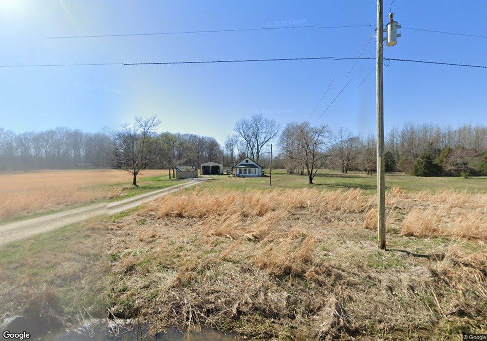
14826 State Highway M Bloomfield, MO 63825
Estimated Value: $100,741 - $165,000
About This Home
This home is located at 14826 State Highway M, Bloomfield, MO 63825 and is currently estimated at $125,914, approximately $108 per square foot. 14826 State Highway M is a home located in Stoddard County with nearby schools including Bloomfield Elementary School, Bloomfield Middle School, and Bloomfield High School.
Ownership History
We collect this data history from publicly available records. To have your information removed, we recommend requesting removal directly through your county’s website.
Purchase Details
Home Financials for this Owner
Home Financials are based on the most recent Mortgage that was taken out on this home.Purchase Details
Home Financials for this Owner
Home Financials are based on the most recent Mortgage that was taken out on this home.Purchase History
We collect this data history from publicly available records. To have your information removed, we recommend requesting removal directly through your county’s website.
| Date | Buyer | Sale Price | Title Company |
|---|---|---|---|
| $130,310 | Guardian Land Title | ||
| $93,131 | -- |
Mortgage History
We collect this data history from publicly available records. To have your information removed, we recommend requesting removal directly through your county’s website.
| Date | Status | Borrower | Loan Amount |
|---|---|---|---|
| Open | $129,020 | ||
| Previous Owner | $74,425 |
Tax History
We collect this data history from publicly available records. To have your information removed, we recommend requesting removal directly through your county’s website.
| Year | Tax Paid | Tax Assessment Tax Assessment Total Assessment is a certain percentage of the fair market value that is determined by local assessors to be the total taxable value of land and additions on the property. | Land | Improvement |
|---|---|---|---|---|
| 2025 | $435 | $9,689 | $0 | $0 |
| 2024 | $4 | $9,321 | $0 | $0 |
| 2023 | $383 | $8,504 | $0 | $0 |
| 2022 | $372 | $8,257 | $0 | $0 |
| 2021 | $372 | $8,257 | $0 | $0 |
| 2020 | $351 | $7,649 | $0 | $0 |
| 2019 | $352 | $7,763 | $0 | $0 |
| 2018 | $346 | $7,649 | $0 | $0 |
| 2016 | $342 | $7,573 | $0 | $0 |
| 2015 | -- | $7,573 | $0 | $0 |
| 2014 | -- | $7,594 | $0 | $0 |
| 2013 | -- | $564 | $0 | $0 |
Map
- 0000 Hwy M
- 0 County Road 237
- 16314 State Highway K Unit SY
- 0 E Hwy Unit MIS26003606
- 27 State Highway K
- 000 State Highway K
- 12503 County Road 292
- 0 County Road 260
- 26673 County Road 219 E
- 25097 State Highway 25
- 11309 County Road 234
- 9505 County Road 250
- 16501 County Road 420
- 25756 State Highway 51
- 203 Depot Rd
- 213 Puhicah Blvd
- 301 Cape Rd
- 301 W Shawnee St
- 707 S Prairie St
- 7428 County Road 420
- 14826 State Highway M
- 14838 State Highway M
- 14790 State Highway M
- 23275 Pp Hwy
- 14799 State Highway M
- 0 Pp Hwy Unit 15028331
- 14913 State Highway M
- 15065 State Highway Pp
- 14544 State Highway Pp
- 14590 State Highway Pp
- 23857 County Road 237
- 14352 State Highway Pp
- 15431 State Highway M
- 23754 County Road 237
- 24206 County Road 249
- 23678 County Road 237
- 14907 County Road 237a
- 15524 State Highway M
- 24002 County Road 249
- 24085 County Road 249
Ask me questions while you tour the home.