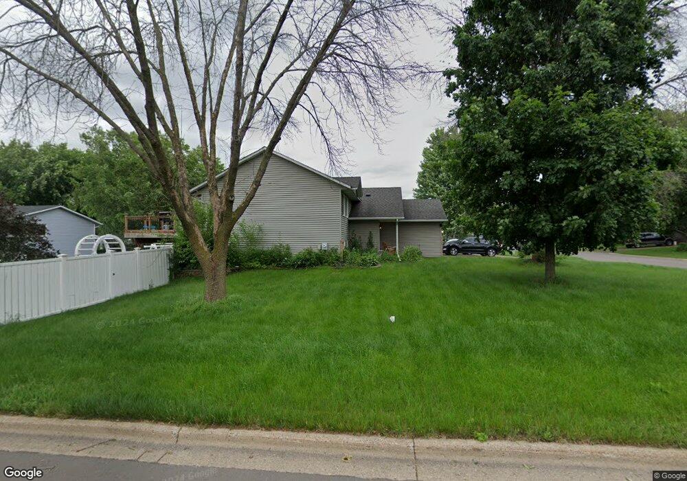
1483 Ashland Ave Saint Paul Park, MN 55071
Estimated Value: $373,000 - $385,000
5
Beds
2
Baths
1,168
Sq Ft
$324/Sq Ft
Est. Value
About This Home
This home is located at 1483 Ashland Ave, Saint Paul Park, MN 55071 and is currently estimated at $378,789, approximately $324 per square foot. 1483 Ashland Ave is a home located in Washington County with nearby schools including Pullman Elementary School, Oltman Middle School, and Park Senior High School.
Ownership History
Date
Name
Owned For
Owner Type
Purchase Details
Closed on
Jun 8, 2020
Sold by
Boeger Christine V and Boeger Jessica
Bought by
Boeger Christine V and Boeger Jessica
Current Estimated Value
Home Financials for this Owner
Home Financials are based on the most recent Mortgage that was taken out on this home.
Original Mortgage
$238,500
Outstanding Balance
$211,412
Interest Rate
3.2%
Mortgage Type
New Conventional
Estimated Equity
$167,377
Purchase Details
Closed on
Jul 28, 2016
Sold by
Hickok Brian C and Hickok Julie
Bought by
Casland Christine
Home Financials for this Owner
Home Financials are based on the most recent Mortgage that was taken out on this home.
Original Mortgage
$242,284
Interest Rate
3.54%
Mortgage Type
New Conventional
Create a Home Valuation Report for This Property
The Home Valuation Report is an in-depth analysis detailing your home's value as well as a comparison with similar homes in the area
Home Values in the Area
Average Home Value in this Area
Purchase History
| Date | Buyer | Sale Price | Title Company |
|---|---|---|---|
| Boeger Christine V | $238,500 | Accommodation | |
| Casland Christine | $249,775 | Burnet Title |
Source: Public Records
Mortgage History
| Date | Status | Borrower | Loan Amount |
|---|---|---|---|
| Open | Boeger Christine V | $238,500 | |
| Previous Owner | Casland Christine | $242,284 |
Source: Public Records
Tax History Compared to Growth
Tax History
| Year | Tax Paid | Tax Assessment Tax Assessment Total Assessment is a certain percentage of the fair market value that is determined by local assessors to be the total taxable value of land and additions on the property. | Land | Improvement |
|---|---|---|---|---|
| 2024 | $4,824 | $353,800 | $90,000 | $263,800 |
| 2023 | $4,824 | $352,300 | $98,000 | $254,300 |
| 2022 | $3,862 | $336,600 | $97,900 | $238,700 |
| 2021 | $3,656 | $282,600 | $81,500 | $201,100 |
| 2020 | $3,572 | $272,800 | $81,500 | $191,300 |
| 2019 | $3,450 | $263,600 | $68,000 | $195,600 |
| 2018 | $3,444 | $241,200 | $63,000 | $178,200 |
| 2017 | $3,158 | $240,500 | $73,000 | $167,500 |
| 2016 | $2,968 | $226,800 | $65,000 | $161,800 |
| 2015 | $2,758 | $194,200 | $50,300 | $143,900 |
| 2013 | -- | $159,800 | $40,100 | $119,700 |
Source: Public Records
Map
Nearby Homes
- 1571 Summit Ave
- 1224 Gary Dr
- 1712 Selby Ave
- 1410 5th St
- 1200 Summit Ave
- 10406 Glenbrook Ave S
- 10502 Glenbrook Ave S
- 10442 Glenbrook Ave S
- 10503 Glenbrook Ave S
- 1601 14th Ave
- 1033 Portland Ave
- 1637 Pullman Ave
- 8012 Scott Blvd
- 1142 1st St
- 11XX 1st St
- 801 Summit Ave
- 9070 Grey Cloud Island Dr S
- 6961 E Point Douglas Rd S
- 8843 Grospoint Ave S
- TBD Broadway Ave