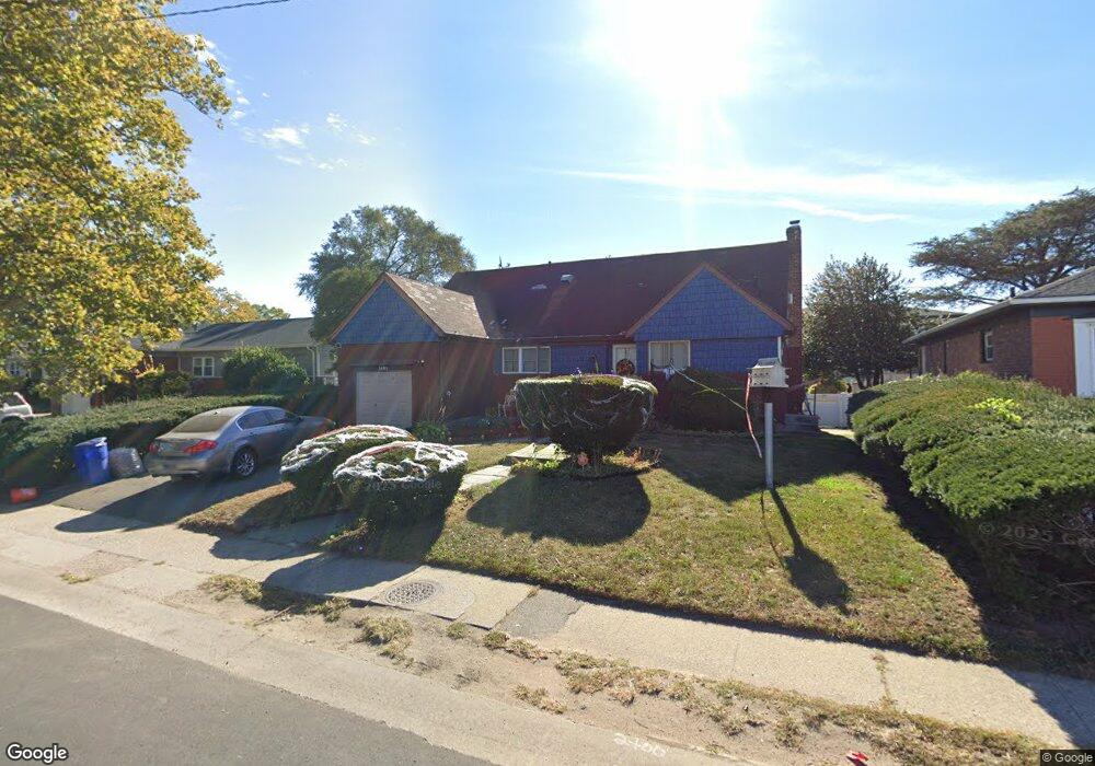
1483 Peninsula Blvd Hewlett, NY 11557
Estimated Value: $723,000 - $766,101
5
Beds
2
Baths
1,515
Sq Ft
$491/Sq Ft
Est. Value
About This Home
This home is located at 1483 Peninsula Blvd, Hewlett, NY 11557 and is currently estimated at $744,551, approximately $491 per square foot. 1483 Peninsula Blvd is a home located in Nassau County with nearby schools including George W Hewlett High School, Yeshiva of South Shore, and Reenas Bais Yaakov.
Ownership History
Date
Name
Owned For
Owner Type
Purchase Details
Closed on
Aug 22, 2016
Sold by
Lindner Cathy
Bought by
Cumberbatch Harold and Whyte Nedra
Current Estimated Value
Home Financials for this Owner
Home Financials are based on the most recent Mortgage that was taken out on this home.
Original Mortgage
$433,994
Outstanding Balance
$345,042
Interest Rate
3.37%
Mortgage Type
FHA
Estimated Equity
$399,509
Purchase Details
Closed on
Feb 1, 1996
Sold by
Kalipolitis Constantine
Bought by
Kalipolitis Constantine
Create a Home Valuation Report for This Property
The Home Valuation Report is an in-depth analysis detailing your home's value as well as a comparison with similar homes in the area
Home Values in the Area
Average Home Value in this Area
Purchase History
| Date | Buyer | Sale Price | Title Company |
|---|---|---|---|
| Cumberbatch Harold | $442,000 | None Available | |
| Kalipolitis Constantine | -- | -- |
Source: Public Records
Mortgage History
| Date | Status | Borrower | Loan Amount |
|---|---|---|---|
| Open | Cumberbatch Harold | $433,994 |
Source: Public Records
Tax History Compared to Growth
Tax History
| Year | Tax Paid | Tax Assessment Tax Assessment Total Assessment is a certain percentage of the fair market value that is determined by local assessors to be the total taxable value of land and additions on the property. | Land | Improvement |
|---|---|---|---|---|
| 2025 | $15,136 | $481 | $201 | $280 |
| 2024 | $3,375 | $481 | $201 | $280 |
| 2023 | $13,824 | $481 | $201 | $280 |
| 2022 | $13,824 | $481 | $201 | $280 |
| 2021 | $18,595 | $469 | $196 | $273 |
| 2020 | $12,471 | $467 | $466 | $1 |
| 2019 | $10,323 | $467 | $466 | $1 |
| 2018 | $9,697 | $467 | $0 | $0 |
| 2017 | $3,217 | $496 | $453 | $43 |
| 2016 | $4,480 | $525 | $434 | $91 |
| 2015 | $1,246 | $554 | $417 | $137 |
| 2014 | $1,246 | $554 | $417 | $137 |
| 2013 | $1,213 | $580 | $437 | $143 |
Source: Public Records
Map
Nearby Homes
- 75 Peninsula Blvd
- 88 Marlboro Rd
- 1434 Noel Ave
- 3 N Brook Dr
- 1584 Kew Ave
- 51 Stevenson Rd
- 165 Page Rd
- 29 Orleans Rd
- 80 Munro Blvd
- 375 Cochran Place
- 127 Gordon Rd
- 343 Cochran Place
- 29 Avon Rd
- 1390 Broadway Unit 116
- 1390 Broadway Unit 107
- 1390 Broadway Unit 118
- 33 Dartmouth St
- 32 Harvard Ave
- 21 Fremont Rd
- 510 Dubois Ave Unit 11B
- 1477 Peninsula Blvd
- 1491 Peninsula Blvd
- 1486 Kew Ave
- 1480 Kew Ave
- 1471 Hewlett Ave
- 1497 Peninsula Blvd
- 1492 Kew Ave
- 1474 Kew Ave
- 1498 Kew Ave
- 1503 Peninsula Blvd
- 1465 Peninsula Blvd
- 1470 Kew Ave
- 1504 Kew Ave
- 71 Peninsula Blvd
- 67 Peninsula Blvd
- 1475 Kew Ave
- 1509 Peninsula Blvd
- 63 Peninsula Blvd
- 79 Peninsula Blvd
- 59 Peninsula Blvd