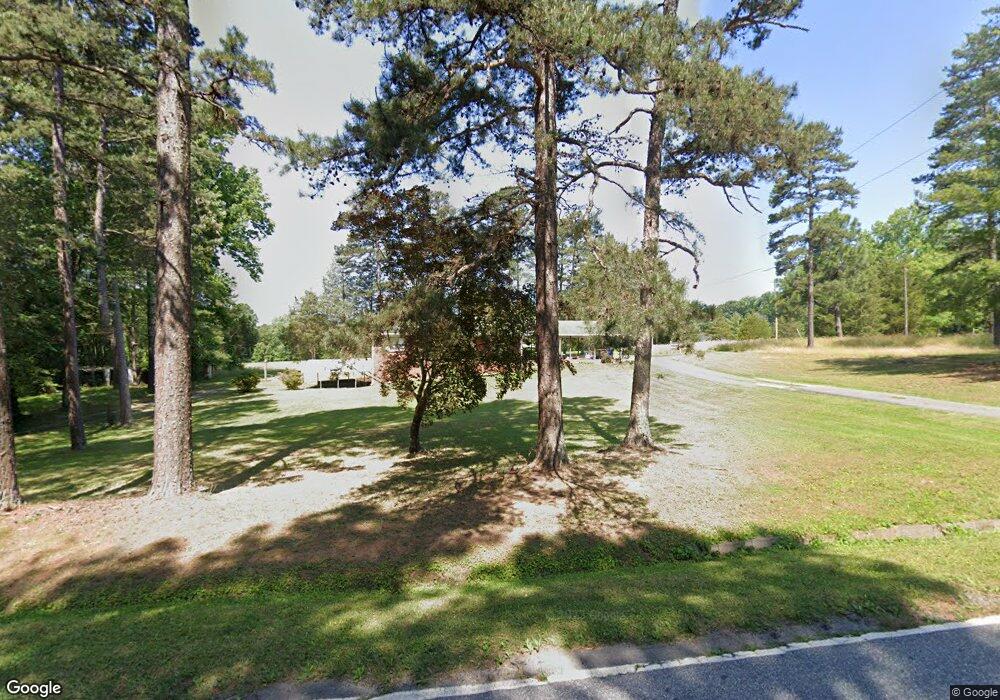
1483 S Union Grove Rd Lexington, NC 27295
Estimated Value: $325,185 - $505,000
3
Beds
2
Baths
3,274
Sq Ft
$122/Sq Ft
Est. Value
About This Home
This home is located at 1483 S Union Grove Rd, Lexington, NC 27295 and is currently estimated at $398,046, approximately $121 per square foot. 1483 S Union Grove Rd is a home located in Davidson County with nearby schools including Friedberg Elementary School, Oak Grove Middle School, and Oak Grove High School.
Ownership History
Date
Name
Owned For
Owner Type
Purchase Details
Closed on
Feb 26, 2018
Sold by
Warren Ann Berrier and Warren Walter Wade
Bought by
Mashburn Linda Berrier
Current Estimated Value
Purchase Details
Closed on
Nov 2, 2006
Sold by
Berrier Ina I
Bought by
Warren Ann Berrier and Mashburn Linda Berrier
Purchase Details
Closed on
Nov 21, 2002
Bought by
Berrier Ina I
Purchase Details
Closed on
Jan 1, 1989
Create a Home Valuation Report for This Property
The Home Valuation Report is an in-depth analysis detailing your home's value as well as a comparison with similar homes in the area
Home Values in the Area
Average Home Value in this Area
Purchase History
| Date | Buyer | Sale Price | Title Company |
|---|---|---|---|
| Mashburn Linda Berrier | -- | None Available | |
| Warren Ann Berrier | -- | None Available | |
| Warren Ann Berrier | -- | None Available | |
| Berrier Ina I | -- | -- | |
| -- | -- | -- |
Source: Public Records
Tax History Compared to Growth
Tax History
| Year | Tax Paid | Tax Assessment Tax Assessment Total Assessment is a certain percentage of the fair market value that is determined by local assessors to be the total taxable value of land and additions on the property. | Land | Improvement |
|---|---|---|---|---|
| 2025 | $1,119 | $172,170 | $0 | $0 |
| 2024 | $1,085 | $172,170 | $0 | $0 |
| 2023 | $1,085 | $172,170 | $0 | $0 |
| 2022 | $1,045 | $171,130 | $0 | $0 |
| 2021 | $1,045 | $171,130 | $0 | $0 |
| 2020 | $883 | $144,660 | $0 | $0 |
| 2019 | $897 | $144,660 | $0 | $0 |
| 2018 | $895 | $144,360 | $0 | $0 |
| 2017 | $555 | $144,360 | $0 | $0 |
| 2016 | $555 | $144,360 | $0 | $0 |
| 2015 | $555 | $144,360 | $0 | $0 |
| 2014 | $570 | $149,220 | $0 | $0 |
Source: Public Records
Map
Nearby Homes
- 1682 S Union Grove Rd
- 1273 S Union Grove Rd
- 1710 S Union Grove Rd
- 290 Falcon Ln
- 320 Falcon Ln
- 350 Falcon Ln
- 370 Falcon Ln
- 109 Phoenix Ct
- 382 Falcon Ln
- 400 Falcon Ln
- 418 Falcon Ln
- 351 Falcon Ln
- 361 Falcon Ln
- 371 Falcon Ln
- 381 Falcon Ln
- 389 Falcon Ln
- 427 Falcon Ln
- 397 Falcon Ln
- 419 Falcon Ln
- 411 Falcon Ln
- 1418 S Union Grove Rd
- 1395 S Union Grove Rd
- 1323 S Union Grove Rd
- 1291 S Union Grove Rd
- 1705 S Union Grove Rd
- 1705 S Union Grove Rd
- 218 Sand Hill Dr
- 210 Sand Hill Dr
- 295 Rockwood Dr
- 1255 S Union Grove Rd
- 180 Sand Hill Dr
- 196 Sand Hill Dr
- 366 Hege Rd
- 191 Rockwood Dr
- 209 Greenbriar Ln
- 199 Sand Hill Dr
- 211 Sand Hill Dr
- 130 Hege Rd
- 112 Hege Rd
- 193 Greenbriar Ln