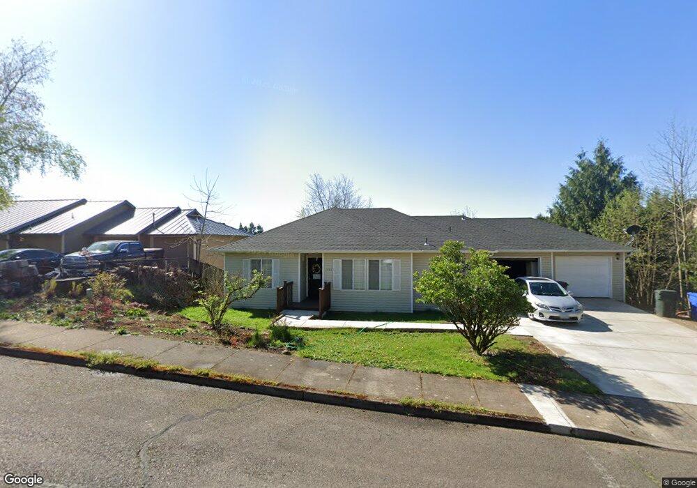
1486 Cedarcrest Ct S Salem, OR 97306
Sunnyslope NeighborhoodEstimated Value: $462,000 - $495,360
3
Beds
2
Baths
1,771
Sq Ft
$272/Sq Ft
Est. Value
About This Home
This home is located at 1486 Cedarcrest Ct S, Salem, OR 97306 and is currently estimated at $481,590, approximately $271 per square foot. 1486 Cedarcrest Ct S is a home located in Marion County with nearby schools including Liberty Elementary School, Crossler Middle School, and Sprague High School.
Ownership History
Date
Name
Owned For
Owner Type
Purchase Details
Closed on
Oct 2, 2017
Sold by
Davis Norman A and Davis Linda L
Bought by
The Davis Family Trust Of 2017
Current Estimated Value
Purchase Details
Closed on
May 3, 2001
Sold by
Amresco Residential Mtg Corp
Bought by
Davis Norman A and Davis Linda L
Home Financials for this Owner
Home Financials are based on the most recent Mortgage that was taken out on this home.
Original Mortgage
$118,800
Outstanding Balance
$43,291
Interest Rate
7.03%
Estimated Equity
$438,299
Purchase Details
Closed on
Mar 1, 2001
Sold by
Schmitt Bryan J and Schmitt Virginia Larue
Bought by
Amresco Residential Mtg Corp
Create a Home Valuation Report for This Property
The Home Valuation Report is an in-depth analysis detailing your home's value as well as a comparison with similar homes in the area
Home Values in the Area
Average Home Value in this Area
Purchase History
| Date | Buyer | Sale Price | Title Company |
|---|---|---|---|
| The Davis Family Trust Of 2017 | -- | None Available | |
| Davis Norman A | $148,500 | Fidelity National Title Co | |
| Amresco Residential Mtg Corp | $161,500 | Fidelity National Title |
Source: Public Records
Mortgage History
| Date | Status | Borrower | Loan Amount |
|---|---|---|---|
| Open | Davis Norman A | $118,800 | |
| Closed | Davis Norman A | $14,850 |
Source: Public Records
Tax History Compared to Growth
Tax History
| Year | Tax Paid | Tax Assessment Tax Assessment Total Assessment is a certain percentage of the fair market value that is determined by local assessors to be the total taxable value of land and additions on the property. | Land | Improvement |
|---|---|---|---|---|
| 2025 | $4,731 | $248,160 | -- | -- |
| 2024 | $4,731 | $240,940 | -- | -- |
| 2023 | $4,591 | $233,930 | $0 | $0 |
| 2022 | $4,329 | $227,120 | $0 | $0 |
| 2021 | $4,205 | $220,510 | $0 | $0 |
| 2020 | $4,083 | $214,090 | $0 | $0 |
| 2019 | $3,939 | $207,860 | $0 | $0 |
| 2018 | $4,009 | $0 | $0 | $0 |
| 2017 | $3,618 | $0 | $0 | $0 |
| 2016 | $3,447 | $0 | $0 | $0 |
| 2015 | $3,473 | $0 | $0 | $0 |
| 2014 | $3,361 | $0 | $0 | $0 |
Source: Public Records
Map
Nearby Homes
- 5441 Mohawk Ct S
- 5401 E Ridge St S
- 5275 Parker Ct S
- 1245 Tamara Ave S
- 5270 Chapman St S
- 1874 Cedarcrest Dr S
- 1394 Hayward St S
- 5551 Crossler Meadow Lp SE
- 5555 Red Leaf Dr S
- 1977 Maplewood Ct S
- 5555 Salinas Ct S
- 1884 Skyline Village Loop S
- 5358 Sparta Loop SE
- 5198 Skyline Rd S
- 116 Rolling Hills Ave SE
- 1055 Big Fir Place S
- 5727 Joynak St S
- 158 Rolling Hills Ave SE
- 5285 Anaconda Dr S
- 231 Carnelia St SE
- 1536 Cedarcrest Ct S
- 5422 Mohawk Ct S
- 5432 Mohawk Ct S
- 1426 Cedar Crest Ct S
- 1426 Cedarcrest Ct S
- 5421 Mohawk Ct S
- 5435 Middlecrest Ct S
- 1556 Cedarcrest Ct S
- 1426 Cedarcrest Ct S
- 1523 Cedarcrest Ct S
- 1453 Cedarcrest Ct S
- 5445 Middlecrest Ct S
- 5431 Mohawk Ct S
- 1553 Cedarcrest Ct S
- 5434 Middlecrest Ct S
- 1416 Cedarcrest Ct S
- 5418 Brookwood St S
- 5428 Brookwood St S
- 1526 Kamela Dr S