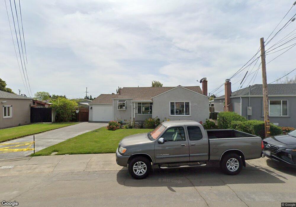
14869 Lark St San Leandro, CA 94578
Upper Bal NeighborhoodEstimated Value: $717,000 - $741,000
2
Beds
1
Bath
992
Sq Ft
$738/Sq Ft
Est. Value
About This Home
This home is located at 14869 Lark St, San Leandro, CA 94578 and is currently estimated at $732,009, approximately $737 per square foot. 14869 Lark St is a home located in Alameda County with nearby schools including Jefferson Elementary School, Bancroft Middle School, and San Leandro High School.
Ownership History
Date
Name
Owned For
Owner Type
Purchase Details
Closed on
Jul 11, 2000
Sold by
Ebert Helen and Trobee Walter
Bought by
Jesus Americo V and Jesus Judite P
Current Estimated Value
Home Financials for this Owner
Home Financials are based on the most recent Mortgage that was taken out on this home.
Original Mortgage
$196,000
Outstanding Balance
$72,715
Interest Rate
8.75%
Estimated Equity
$659,294
Create a Home Valuation Report for This Property
The Home Valuation Report is an in-depth analysis detailing your home's value as well as a comparison with similar homes in the area
Home Values in the Area
Average Home Value in this Area
Purchase History
| Date | Buyer | Sale Price | Title Company |
|---|---|---|---|
| Jesus Americo V | $245,000 | North American Title Co |
Source: Public Records
Mortgage History
| Date | Status | Borrower | Loan Amount |
|---|---|---|---|
| Open | Jesus Americo V | $196,000 |
Source: Public Records
Tax History Compared to Growth
Tax History
| Year | Tax Paid | Tax Assessment Tax Assessment Total Assessment is a certain percentage of the fair market value that is determined by local assessors to be the total taxable value of land and additions on the property. | Land | Improvement |
|---|---|---|---|---|
| 2025 | $5,471 | $362,148 | $110,744 | $258,404 |
| 2024 | $5,471 | $354,911 | $108,573 | $253,338 |
| 2023 | $5,410 | $354,815 | $106,444 | $248,371 |
| 2022 | $5,240 | $340,860 | $104,358 | $243,502 |
| 2021 | $5,084 | $334,040 | $102,312 | $238,728 |
| 2020 | $4,948 | $337,543 | $101,263 | $236,280 |
| 2019 | $4,918 | $330,925 | $99,277 | $231,648 |
| 2018 | $4,640 | $324,438 | $97,331 | $227,107 |
| 2017 | $4,439 | $318,078 | $95,423 | $222,655 |
| 2016 | $4,258 | $311,843 | $93,553 | $218,290 |
| 2015 | $4,172 | $307,160 | $92,148 | $215,012 |
| 2014 | $3,920 | $301,145 | $90,343 | $210,802 |
Source: Public Records
Map
Nearby Homes
- 14955 Lark St
- 14831 Bancroft Ave Unit Space 27
- 14972 Lark St
- 14973 Patton Ave
- 14960 Portofino Cir
- 0 Saturn Dr
- 1947 Placer Dr
- 1939 Placer Dr
- 14850 Donna St
- 1315 Dorothy Ave
- 2290 Upland Rd
- 14875 Western Ave
- 14101 E 14th St Unit 306
- 1207 147th Ave Unit D
- 1203 147th Ave
- 1293 Vistagrand Dr
- 1112 Adason Dr
- 15683 Liberty St
- 1253 139th Ave
- 1525 Thrush Ave