1487 Atkinson Bridge Rd Carnesville, GA 30521
Estimated Value: $223,000 - $295,000
5
Beds
2
Baths
2,300
Sq Ft
$115/Sq Ft
Est. Value
About This Home
This home is located at 1487 Atkinson Bridge Rd, Carnesville, GA 30521 and is currently estimated at $265,545, approximately $115 per square foot. 1487 Atkinson Bridge Rd is a home located in Franklin County with nearby schools including Franklin County High School.
Ownership History
Date
Name
Owned For
Owner Type
Purchase Details
Closed on
Jun 1, 2005
Sold by
Stephens Federal Bank
Bought by
Sutton Clayton A and Sutton Misty D
Current Estimated Value
Home Financials for this Owner
Home Financials are based on the most recent Mortgage that was taken out on this home.
Original Mortgage
$100,000
Outstanding Balance
$50,865
Interest Rate
5.66%
Mortgage Type
New Conventional
Estimated Equity
$214,680
Purchase Details
Closed on
Jan 4, 2005
Sold by
Dickinson Alan
Bought by
Septhens Federal Bank
Purchase Details
Closed on
Nov 28, 2001
Sold by
Dickenson Alan Larr
Bought by
Dickinson Alan
Purchase Details
Closed on
Feb 27, 1996
Bought by
Dickenson Alan Larr
Create a Home Valuation Report for This Property
The Home Valuation Report is an in-depth analysis detailing your home's value as well as a comparison with similar homes in the area
Purchase History
| Date | Buyer | Sale Price | Title Company |
|---|---|---|---|
| Sutton Clayton A | $73,500 | -- | |
| Septhens Federal Bank | $86,400 | -- | |
| Dickinson Alan | -- | -- | |
| Dickenson Alan Larr | $26,500 | -- |
Source: Public Records
Mortgage History
| Date | Status | Borrower | Loan Amount |
|---|---|---|---|
| Open | Sutton Clayton A | $100,000 |
Source: Public Records
Tax History
| Year | Tax Paid | Tax Assessment Tax Assessment Total Assessment is a certain percentage of the fair market value that is determined by local assessors to be the total taxable value of land and additions on the property. | Land | Improvement |
|---|---|---|---|---|
| 2025 | $1,738 | $77,207 | $12,222 | $64,985 |
| 2024 | $1,547 | $66,995 | $5,369 | $61,626 |
| 2023 | $1,525 | $61,099 | $4,881 | $56,218 |
| 2022 | $1,370 | $55,086 | $3,804 | $51,282 |
| 2021 | $1,277 | $48,420 | $3,804 | $44,616 |
| 2020 | $1,127 | $42,545 | $3,804 | $38,741 |
| 2019 | $1,089 | $42,545 | $3,804 | $38,741 |
| 2018 | $950 | $37,353 | $3,928 | $33,425 |
| 2017 | $987 | $37,353 | $3,928 | $33,425 |
| 2016 | $914 | $33,307 | $3,928 | $29,379 |
| 2015 | -- | $31,118 | $3,928 | $27,190 |
| 2014 | -- | $33,932 | $3,928 | $30,003 |
| 2013 | -- | $33,931 | $3,928 | $30,003 |
Source: Public Records
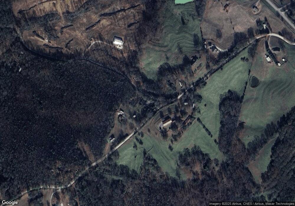
Map
Nearby Homes
- 5177 Sandy Cross Rd
- 2985 Jackson Bridge Rd
- 0 Noah Crow Rd Unit 10692629
- 597 Meadow Brook Ln
- 1898 Sandy Cross Rd
- 555 Hubbard Rd
- 365 Carroll Church Rd
- 1291 Brays Lake Rd
- 1350 Noah Crow Rd
- 0 New Franklin Church Rd
- 6.98 ACRES New Franklin Church Rd
- 6602 New Franklin Church Rd
- 138 Airport Rd Unit 14
- 174 Airport Rd Unit 12
- 206 Airport Rd Unit 11
- 154 Airport Rd Unit 13
- 2556 Turkey Creek Rd
- 2565 New Franklin Church Rd
- 0 Turkey Creek Rd Unit 10671197
- 0 Turkey Creek Rd Unit 7709794
- O Atkinson Bridge Rd
- 1540 Atkinson Bridge Rd
- 0 Dollie Phillips Rd L1
- 1373 Atkinson Bridge Rd
- 0 Dollie Phillips Rd L2
- 1553 Atkinson Bridge Rd
- 0 Dollie Phillips Rd Unit 8312481
- 0 Dollie Phillips Rd Unit 8306483
- 0 Dollie Phillips Rd Unit 8312474
- 0 Dollie Phillips Rd Unit 8306478
- 0 Dollie Phillips Rd Unit 3 8252962
- 0 Dollie Phillips Rd Unit 4 8252986
- 0 Dollie Phillips Rd Unit 2 8252939
- 0 Dollie Phillips Rd Unit 1 8252347
- 0 Dollie Phillips Rd Unit 4 8250055
- 0 Dollie Phillips Rd Unit 3 8250024
- 0 Dollie Phillips Rd Unit 5 8250086
- 0 Dollie Phillips Rd Unit 2 8249644
- 0 Dollie Phillips Rd Unit 1 8249563
- 0 Dollie Phillips Rd Unit 7516850
Your Personal Tour Guide
Ask me questions while you tour the home.