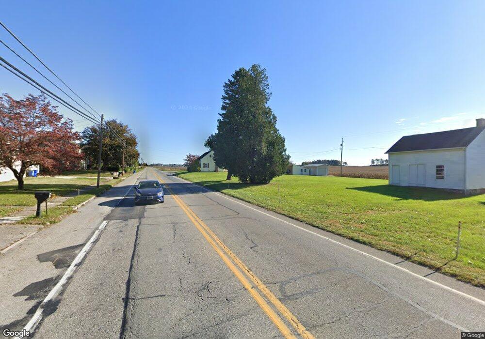
1487 Route 116 Spring Grove, PA 17362
Estimated Value: $192,000 - $200,873
2
Beds
1
Bath
1,008
Sq Ft
$195/Sq Ft
Est. Value
About This Home
This home is located at 1487 Route 116, Spring Grove, PA 17362 and is currently estimated at $196,218, approximately $194 per square foot. 1487 Route 116 is a home located in York County with nearby schools including Spring Grove Area Middle School, Spring Grove Area High School, and St Rose Of Lima School.
Ownership History
Date
Name
Owned For
Owner Type
Purchase Details
Closed on
Jul 19, 2004
Sold by
Kaltreider Emma and Smith Fay D
Bought by
Lehr Glenn M
Current Estimated Value
Home Financials for this Owner
Home Financials are based on the most recent Mortgage that was taken out on this home.
Original Mortgage
$69,600
Interest Rate
6.33%
Mortgage Type
Purchase Money Mortgage
Purchase Details
Closed on
May 17, 1951
Sold by
Sprenkle David A and Sprenkle Minnie I
Bought by
Kaltreider Ralph E and Kaltreider Emma E
Create a Home Valuation Report for This Property
The Home Valuation Report is an in-depth analysis detailing your home's value as well as a comparison with similar homes in the area
Home Values in the Area
Average Home Value in this Area
Purchase History
| Date | Buyer | Sale Price | Title Company |
|---|---|---|---|
| Lehr Glenn M | $87,000 | -- | |
| Kaltreider Emma E | -- | -- | |
| Kaltreider Ralph E | $300 | -- |
Source: Public Records
Mortgage History
| Date | Status | Borrower | Loan Amount |
|---|---|---|---|
| Closed | Lehr Glenn M | $69,600 |
Source: Public Records
Tax History Compared to Growth
Tax History
| Year | Tax Paid | Tax Assessment Tax Assessment Total Assessment is a certain percentage of the fair market value that is determined by local assessors to be the total taxable value of land and additions on the property. | Land | Improvement |
|---|---|---|---|---|
| 2025 | $3,000 | $90,500 | $36,530 | $53,970 |
| 2024 | $2,968 | $90,500 | $36,530 | $53,970 |
| 2023 | $2,968 | $90,500 | $36,530 | $53,970 |
| 2022 | $2,968 | $90,500 | $36,530 | $53,970 |
| 2021 | $2,839 | $90,500 | $36,530 | $53,970 |
| 2020 | $2,839 | $90,500 | $36,530 | $53,970 |
| 2019 | $2,777 | $90,500 | $36,530 | $53,970 |
| 2018 | $2,740 | $90,500 | $36,530 | $53,970 |
| 2017 | $2,676 | $90,500 | $36,530 | $53,970 |
| 2016 | $0 | $90,500 | $36,530 | $53,970 |
| 2015 | -- | $90,500 | $36,530 | $53,970 |
| 2014 | -- | $90,500 | $36,530 | $53,970 |
Source: Public Records
Map
Nearby Homes
- 1238 Knoll Dr
- 1245 Pinnacle Ct
- 168 Dolomite Dr
- 137 Mineral Dr Unit 30
- 304 Cape Climb
- 335 Cape Climb
- 304 Mesa Ln
- 5 Landing Place Unit 5 - MODEL
- 20 Landing Place Unit 20
- 22 Landing Place Unit 22
- 21 Landing Place Unit 21
- 7 Landing Place Unit 7
- 19 Landing Place Unit 19
- 4 Landing Place Unit 4
- 87 Farm House Ln
- 1143 Willow Ct Unit 165
- 544 Monocacy Trail
- St. Michaels Model 5 Monocacy Trail
- 540 Monocacy Trail
- 558 Monocacy Trail
- 1479 Route 116
- 1495 Route 116
- 1462 Route 116
- 1494 Hanover Rd
- 1494 Route 116
- 1496 Route 116
- 1504 Route 116
- 1512 Route 116
- 1520 Route 116
- 1524 Route 116
- 1534 Route 116
- 1533 Route 116
- 1538 Route 116
- 1544 Route 116
- 1543 Route 116
- 1315 Summit Run Ct
- 1320 Summit Run Ct
- 1548 Route 116
- 1552 Route 116
- 1556 Route 116