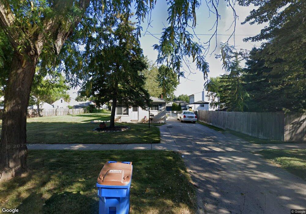
14871 E 10 Mile Rd Warren, MI 48089
Southeast Warren NeighborhoodEstimated Value: $18,457 - $165,000
Studio
1
Bath
1,820
Sq Ft
$57/Sq Ft
Est. Value
About This Home
This home is located at 14871 E 10 Mile Rd, Warren, MI 48089 and is currently estimated at $104,486, approximately $57 per square foot. 14871 E 10 Mile Rd is a home located in Macomb County with nearby schools including Warren Woods Tower High School and Macomb Montessori Academy.
Ownership History
Date
Name
Owned For
Owner Type
Purchase Details
Closed on
Aug 8, 2016
Sold by
Miller Derek E
Bought by
City Of Warren
Current Estimated Value
Purchase Details
Closed on
Oct 20, 2014
Sold by
Robinson Reo Llc
Bought by
Agmistar Investments Llc
Purchase Details
Closed on
Dec 26, 2008
Sold by
The Secretary Of Veterans Affairs
Bought by
Nevada Prime Holdings Llc
Purchase Details
Closed on
Jul 6, 2004
Sold by
Columbia National Inc
Bought by
Va
Purchase Details
Closed on
Jun 18, 2004
Sold by
Dolan William E and Dolan Tracy W
Bought by
Columbia National Inc
Purchase Details
Closed on
Apr 14, 2000
Sold by
Dahl Louis
Bought by
Dolan William E
Create a Home Valuation Report for This Property
The Home Valuation Report is an in-depth analysis detailing your home's value as well as a comparison with similar homes in the area
Home Values in the Area
Average Home Value in this Area
Purchase History
| Date | Buyer | Sale Price | Title Company |
|---|---|---|---|
| City Of Warren | $717,368 | Attorney | |
| Agmistar Investments Llc | -- | None Available | |
| Nevada Prime Holdings Llc | $1,899 | First American Title Ins Co | |
| Va | -- | -- | |
| Columbia National Inc | $64,335 | -- | |
| Dolan William E | $76,000 | -- |
Source: Public Records
Tax History
| Year | Tax Paid | Tax Assessment Tax Assessment Total Assessment is a certain percentage of the fair market value that is determined by local assessors to be the total taxable value of land and additions on the property. | Land | Improvement |
|---|---|---|---|---|
| 2025 | -- | $0 | $0 | $0 |
| 2024 | -- | $0 | $0 | $0 |
| 2023 | -- | $0 | $0 | $0 |
| 2022 | $0 | $0 | $0 | $0 |
| 2021 | $449 | $0 | $0 | $0 |
| 2020 | $449 | $0 | $0 | $0 |
| 2019 | $449 | $0 | $0 | $0 |
| 2018 | $0 | $0 | $0 | $0 |
| 2017 | $0 | $6,500 | $0 | $0 |
| 2016 | $449 | $6,500 | $0 | $0 |
| 2015 | -- | $6,500 | $0 | $0 |
Source: Public Records
Map
Nearby Homes
- 25184 Tecla Ave
- 25241 Rosenbusch Blvd
- 25156 Fortuna St
- 25540 Tecla Ave
- 14670 Shirley Ave
- 24606 Berry Ave
- 24602 Berry Ave
- 25152 Leach St
- 14936 Alberta Ave
- 25815 Firwood Ave
- 25769 Village Ln Unit 18
- 25883 Village Ln Unit 9
- 24523 Hayes Ave
- 14921 Eleanor Ave
- 24500 Hayes Ave
- 24845 Grove Ave
- 24831 Cottage Ln
- 24624 Melody Rd
- 25031 Fern St
- 25672 Wiseman St
- 14877 E 10 Mile Rd
- 25048 Firwood Ave
- 25072 Firwood Ave
- 25024 Firwood Ave
- 25105 Tecla Ave
- 25109 Tecla Ave
- 25096 Firwood Ave Unit Bldg-Unit
- 25096 Firwood Ave
- 25113 Tecla Ave
- 14893 E 10 Mile Rd
- 25116 Firwood Ave
- 14835 E 10 Mile Rd
- 25085 Firwood Ave
- 25106 Tecla Ave
- 14903 E 10 Mile Rd
- 14882 E 10 Mile Rd
- 25112 Tecla Ave Unit Bldg-Unit
- 25112 Tecla Ave
- 14866 E 10 Mile Rd
- 25124 Firwood Ave
Your Personal Tour Guide
Ask me questions while you tour the home.