1488 140th Ave Wayland, MI 49348
Estimated Value: $457,000 - $567,055
3
Beds
3
Baths
1,700
Sq Ft
$298/Sq Ft
Est. Value
About This Home
This home is located at 1488 140th Ave, Wayland, MI 49348 and is currently estimated at $506,014, approximately $297 per square foot. 1488 140th Ave is a home located in Allegan County with nearby schools including Wayland High School.
Ownership History
Date
Name
Owned For
Owner Type
Purchase Details
Closed on
Jun 4, 2019
Sold by
Truesdell Timothy W and Truesdell Rebecca S
Bought by
The Truesdell Living Trust
Current Estimated Value
Purchase Details
Closed on
Jan 6, 2005
Sold by
Jelsema David and Jelsema David W
Bought by
Truesdell Timothy W and Truesdell Rebecca S
Home Financials for this Owner
Home Financials are based on the most recent Mortgage that was taken out on this home.
Original Mortgage
$75,000
Interest Rate
5.18%
Mortgage Type
New Conventional
Purchase Details
Closed on
Jun 7, 2000
Sold by
Clark Susan
Bought by
Jelsema David W
Purchase Details
Closed on
Jun 1, 2000
Sold by
Dorman Frances
Bought by
Jelsema David
Create a Home Valuation Report for This Property
The Home Valuation Report is an in-depth analysis detailing your home's value as well as a comparison with similar homes in the area
Home Values in the Area
Average Home Value in this Area
Purchase History
| Date | Buyer | Sale Price | Title Company |
|---|---|---|---|
| The Truesdell Living Trust | -- | None Available | |
| Truesdell Timothy W | $184,900 | Metropolitan Title Company | |
| Jelsema David W | $12,500 | -- | |
| Jelsema David | -- | -- |
Source: Public Records
Mortgage History
| Date | Status | Borrower | Loan Amount |
|---|---|---|---|
| Closed | Truesdell Timothy W | $75,000 |
Source: Public Records
Tax History Compared to Growth
Tax History
| Year | Tax Paid | Tax Assessment Tax Assessment Total Assessment is a certain percentage of the fair market value that is determined by local assessors to be the total taxable value of land and additions on the property. | Land | Improvement |
|---|---|---|---|---|
| 2025 | $3,952 | $284,400 | $68,000 | $216,400 |
| 2024 | $3,565 | $254,500 | $47,500 | $207,000 |
| 2023 | $3,654 | $228,100 | $42,100 | $186,000 |
| 2022 | $3,565 | $197,400 | $39,800 | $157,600 |
| 2021 | $3,362 | $168,400 | $26,300 | $142,100 |
| 2020 | $160 | $159,400 | $25,000 | $134,400 |
| 2019 | $3,228 | $156,700 | $21,500 | $135,200 |
| 2018 | $3,156 | $137,000 | $21,500 | $115,500 |
| 2017 | $0 | $126,200 | $17,500 | $108,700 |
| 2016 | $0 | $111,800 | $15,700 | $96,100 |
| 2015 | -- | $111,800 | $15,700 | $96,100 |
| 2014 | -- | $101,600 | $15,700 | $85,900 |
| 2013 | -- | $96,300 | $16,100 | $80,200 |
Source: Public Records
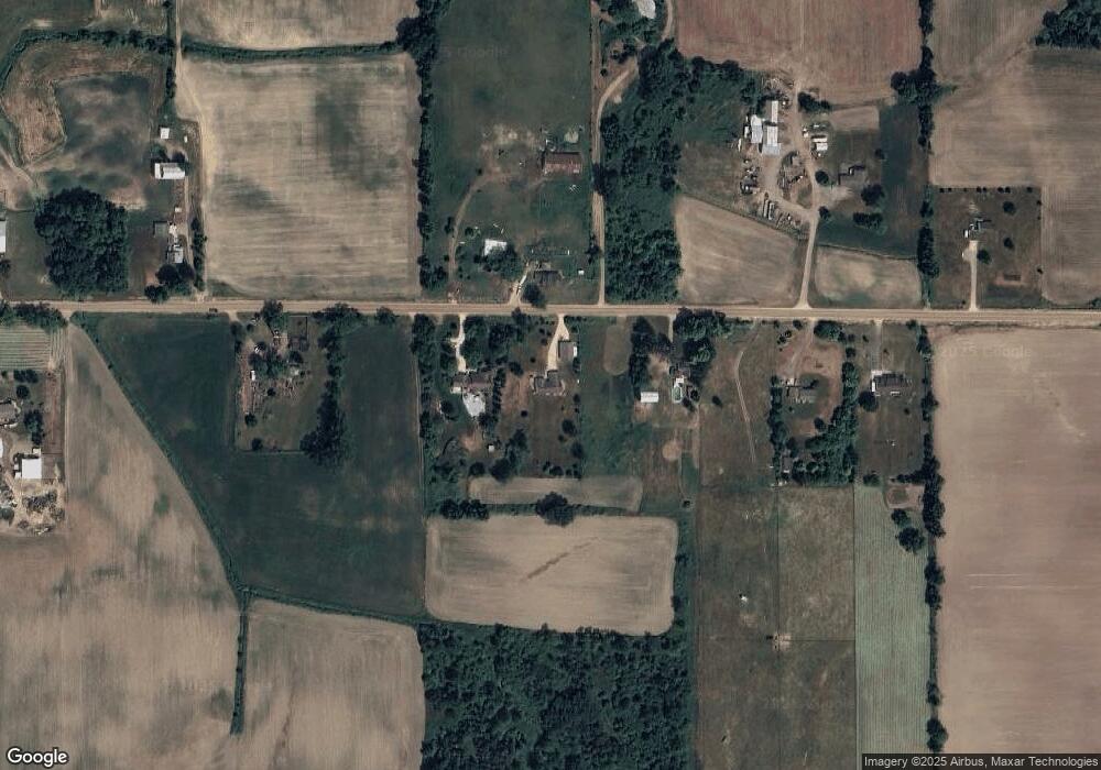
Map
Nearby Homes
- 1659 Creek Side Ct
- 4312 Woodside Meadow Ct
- Lot 11 Walnut Dale Dr
- 1341 142nd Ave
- 3897 Division St
- 4351 Hickory View Ct
- 4087 Ronalds Rd
- 1722 144th Ave
- 4316 Sussex Place
- 4335 Tavistock Dr
- 4159 White Pine Dr
- 4273 Highpoint Dr Unit 112
- Unit 111 Highpoint Dr
- 4240 Butternut Dr
- Vienna Plan at Harvest Meadows
- Charlotte Plan at Harvest Meadows
- Sierra Plan at Harvest Meadows
- Karolynn Plan at Harvest Meadows
- Reno Plan at Harvest Meadows
- Bayberry Plan at Harvest Meadows