Estimated Value: $430,000 - $642,748
--
Bed
--
Bath
3,177
Sq Ft
$183/Sq Ft
Est. Value
About This Home
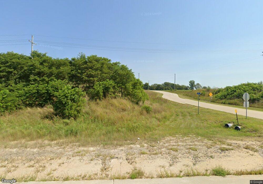
This home is located at 1488 State Highway 133, Omaha, NE 68142 and is currently estimated at $581,187, approximately $182 per square foot. 1488 State Highway 133 is a home located in Washington County with nearby schools including Blair High School.
Ownership History
Date
Name
Owned For
Owner Type
Purchase Details
Closed on
May 26, 2020
Sold by
Bonney Gerald L and Bonney Gerald L
Bought by
Bonney Gerald L
Current Estimated Value
Home Financials for this Owner
Home Financials are based on the most recent Mortgage that was taken out on this home.
Original Mortgage
$260,591
Outstanding Balance
$230,994
Interest Rate
3.2%
Mortgage Type
Unknown
Estimated Equity
$350,193
Create a Home Valuation Report for This Property
The Home Valuation Report is an in-depth analysis detailing your home's value as well as a comparison with similar homes in the area
Home Values in the Area
Average Home Value in this Area
Purchase History
| Date | Buyer | Sale Price | Title Company |
|---|---|---|---|
| Bonney Gerald L | $250,000 | Midwest Title Inc |
Source: Public Records
Mortgage History
| Date | Status | Borrower | Loan Amount |
|---|---|---|---|
| Open | Bonney Gerald L | $260,591 |
Source: Public Records
Tax History Compared to Growth
Tax History
| Year | Tax Paid | Tax Assessment Tax Assessment Total Assessment is a certain percentage of the fair market value that is determined by local assessors to be the total taxable value of land and additions on the property. | Land | Improvement |
|---|---|---|---|---|
| 2024 | $4,229 | $471,340 | $80,100 | $391,240 |
| 2023 | $5,466 | $423,660 | $80,100 | $343,560 |
| 2022 | $5,582 | $358,080 | $50,060 | $308,020 |
| 2021 | $5,385 | $341,460 | $50,060 | $291,400 |
| 2020 | $5,524 | $338,125 | $50,060 | $288,065 |
| 2019 | $1,489 | $303,135 | $50,060 | $253,075 |
| 2018 | $1,517 | $287,445 | $50,060 | $237,385 |
| 2017 | $1,401 | $269,655 | $50,060 | $219,595 |
| 2016 | $1,449 | $269,655 | $50,060 | $219,595 |
| 2015 | $1,248 | $242,630 | $50,060 | $192,570 |
| 2014 | $1,248 | $242,630 | $50,060 | $192,570 |
Source: Public Records
Map
Nearby Homes
- 2923 County Road 33 County Rd
- TBD County Road P36 Tract 1 Rd
- Allen Hills Lot 9 Cir
- 11846 County Road 36
- 14806 Bruning St
- 14802 Bruning St
- 11153 N Lakeshore Dr
- Lot 21 Block 3 Sunset Dr
- 7609 Northridge Cir
- 14804 Willow St
- Lot 21 Block 8 Hiland Dr
- 4774 Hiland Dr
- 9715 N 108th St
- 306 N Stark St
- 15610 Howard Ln
- 202 N Molley St
- 14811 Bruning St
- 16061 Center West Hadan Dr
- 16015 Zac Ln
- 11018 N 161st St
- 1437 State Highway 133
- 1439 State Highway 133
- 1439 State Highway 133
- 9867 Old Post Ln
- 1711 State Highway 133
- 1803 State Highway 133
- 1812 State Highway 133
- 1814 State Highway 133
- 1823 State Highway 133
- 11808 Dutch Hall Rd
- 7601 Dutch Hall Rd
- 124 Dutch Hall Rd
- 0 MacC Ln
- 125 MacC Ln
- 11449 Dutch Hall Rd
- 2111 State Highway 133
- 2112 State Highway 133
- 2117 State Highway 133
- 2180 County Road 37
- 2124 State Highway 133
