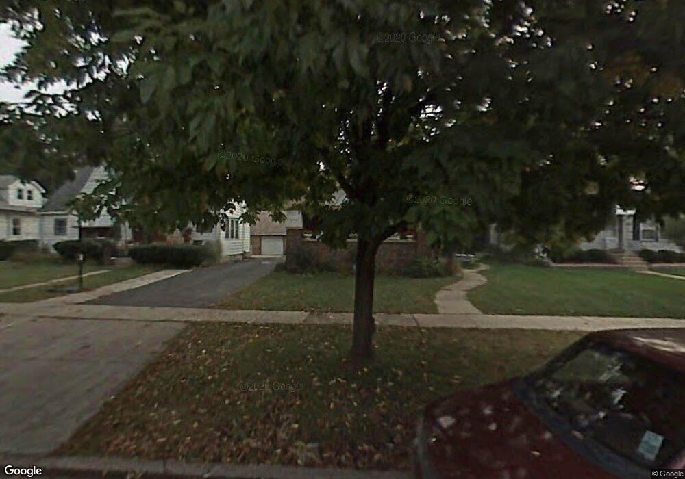
1489 Maple St Des Plaines, IL 60018
Estimated Value: $352,000 - $497,000
4
Beds
2
Baths
1,801
Sq Ft
$233/Sq Ft
Est. Value
About This Home
This home is located at 1489 Maple St, Des Plaines, IL 60018 and is currently estimated at $419,219, approximately $232 per square foot. 1489 Maple St is a home with nearby schools including Central Elementary School, Chippewa Middle School, and Maine West High School.
Ownership History
Date
Name
Owned For
Owner Type
Purchase Details
Closed on
Jun 30, 2008
Sold by
Roman Rene and Pulido Maria J
Bought by
Pulido Maria J and Maria J Pulido Trust
Current Estimated Value
Create a Home Valuation Report for This Property
The Home Valuation Report is an in-depth analysis detailing your home's value as well as a comparison with similar homes in the area
Home Values in the Area
Average Home Value in this Area
Purchase History
| Date | Buyer | Sale Price | Title Company |
|---|---|---|---|
| Pulido Maria J | -- | None Available |
Source: Public Records
Tax History Compared to Growth
Tax History
| Year | Tax Paid | Tax Assessment Tax Assessment Total Assessment is a certain percentage of the fair market value that is determined by local assessors to be the total taxable value of land and additions on the property. | Land | Improvement |
|---|---|---|---|---|
| 2024 | $7,726 | $35,271 | $8,364 | $26,907 |
| 2023 | $7,492 | $35,271 | $8,364 | $26,907 |
| 2022 | $7,492 | $35,271 | $8,364 | $26,907 |
| 2021 | $6,902 | $28,449 | $6,795 | $21,654 |
| 2020 | $6,910 | $28,449 | $6,795 | $21,654 |
| 2019 | $6,846 | $31,610 | $6,795 | $24,815 |
| 2018 | $6,980 | $29,523 | $6,011 | $23,512 |
| 2017 | $6,888 | $29,523 | $6,011 | $23,512 |
| 2016 | $7,510 | $29,523 | $6,011 | $23,512 |
| 2015 | $7,757 | $28,281 | $5,227 | $23,054 |
| 2014 | $7,609 | $28,281 | $5,227 | $23,054 |
| 2013 | $6,319 | $24,527 | $5,227 | $19,300 |
Source: Public Records
Map
Nearby Homes
- 1536 Orchard St
- 1700 E Forest Ave
- 1640 S River Rd
- 1278 E River Dr
- 1928 Kennicott Ct
- 1721 Linden St
- 1509 Center St
- 1689 S Elm St
- 1724 Illinois St
- 1632 S Elm St
- 1489 E Algonquin Rd
- 2015 Busse Hwy
- 960 S River Rd Unit 410
- 960 S River Rd Unit 208
- 1010 Crabtree Ln
- 1524 Oakwood Ave
- 1783 Lee St
- 1241 Elliott St
- 905 Center St Unit B507
- 905 Center St Unit B208
- 1495 Maple St
- 1483 Maple St
- 1509 Maple St
- 1473 Maple St
- 1463 Maple St
- 1795 Wicke Ave
- 1490 Maple St
- 1498 Maple St
- 1808 E Lincoln Ave
- 1825 Wicke Ave
- 1512 Maple St
- 1783 Wicke Ave
- 1476 S River Rd
- 1484 S River Rd
- 1774 E Lincoln Ave
- 1773 Wicke Ave
- 1500 S River Rd
- 1464 S River Rd
- 1844 E Lincoln Ave
- 1836 Wicke Ave