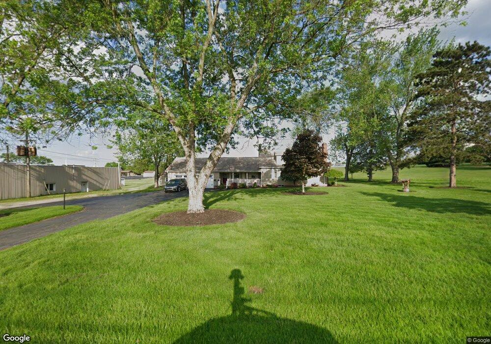
14890 Beloit Snodes Rd Beloit, OH 44609
Estimated Value: $176,000 - $285,000
3
Beds
2
Baths
2,112
Sq Ft
$114/Sq Ft
Est. Value
About This Home
This home is located at 14890 Beloit Snodes Rd, Beloit, OH 44609 and is currently estimated at $240,204, approximately $113 per square foot. 14890 Beloit Snodes Rd is a home located in Mahoning County with nearby schools including West Branch Middle School, West Branch Early Learning Center, and West Branch High School.
Ownership History
Date
Name
Owned For
Owner Type
Purchase Details
Closed on
Mar 5, 2015
Sold by
Bendetta John C and Bendetta Sherry Lynn
Bought by
Bendetta Tara Lynn
Current Estimated Value
Purchase Details
Closed on
Oct 10, 2008
Sold by
Estate Of William J Klepfer
Bought by
Bendetta Sherry Lynn
Purchase Details
Closed on
Oct 9, 2008
Sold by
Bendetta Sherry Lynn and Bendetta John C
Bought by
Bendetta John C and Bendetta Sherry Lynn
Purchase Details
Closed on
Jun 23, 1980
Bought by
Klepfer William J
Create a Home Valuation Report for This Property
The Home Valuation Report is an in-depth analysis detailing your home's value as well as a comparison with similar homes in the area
Purchase History
| Date | Buyer | Sale Price | Title Company |
|---|---|---|---|
| Bendetta Tara Lynn | -- | Attorney | |
| Bendetta Sherry Lynn | -- | None Available | |
| Bendetta John C | -- | None Available | |
| Klepfer William J | -- | -- |
Source: Public Records
Tax History
| Year | Tax Paid | Tax Assessment Tax Assessment Total Assessment is a certain percentage of the fair market value that is determined by local assessors to be the total taxable value of land and additions on the property. | Land | Improvement |
|---|---|---|---|---|
| 2025 | $2,216 | $61,210 | $9,070 | $52,140 |
| 2024 | $2,216 | $61,210 | $9,070 | $52,140 |
| 2023 | $2,174 | $61,210 | $9,070 | $52,140 |
| 2022 | $1,526 | $38,570 | $7,250 | $31,320 |
| 2021 | $1,527 | $38,570 | $7,250 | $31,320 |
| 2020 | $1,534 | $38,570 | $7,250 | $31,320 |
| 2019 | $1,396 | $33,350 | $7,250 | $26,100 |
| 2018 | $1,389 | $33,350 | $7,250 | $26,100 |
| 2017 | $1,386 | $33,350 | $7,250 | $26,100 |
| 2016 | $1,441 | $34,870 | $7,500 | $27,370 |
| 2015 | $1,397 | $34,870 | $7,500 | $27,370 |
| 2014 | -- | $34,870 | $7,500 | $27,370 |
| 2013 | $1,390 | $34,870 | $7,500 | $27,370 |
Source: Public Records
Map
Nearby Homes
- 27292 Lake Front Dr
- 26223 Wildwood Dr
- 35 Bayview Dr
- 18061 Derr Ave
- 430 Hillsdale St
- 18280 5th St
- 423 S 14th St
- 540 S 15th St
- 104 W Carolina Ave
- 14831 Smith Goshen Rd
- 324 S 15th St
- 208 S 15th St
- 57 Redwood St
- 195 E Pennsylvania Ave
- 345 E Indiana Ave
- 157 E Ohio Ave
- 495 W Texas Ave
- 175 W Ohio Ave
- 18262 W Pine Lake Rd
- 1195 S Johnson Rd
- 14935 Beloit Snodes Rd
- 14949 Beloit Snodes Rd
- 14830 Beloit Snodes Rd
- 14812 Beloit Snodes Rd
- 27171 St Rt 62
- 27171 St Rt 62
- 18146 State Route 62
- 23 Westville Lake Rd
- 26925 U S 62
- 26925 State Route 62
- 26877 State Route 62
- Lot 37 St Route 62 Rd
- 26843 State Route 62
- 26843 State Route 62
- 17918 U S 62
- 18176 State Route 62
- 26831 State Route 62
- 18190 State Route 62
- 17894 State Route 62
- 18222 State Route 62
Your Personal Tour Guide
Ask me questions while you tour the home.