14897 Buchanan St Carlisle, IA 50047
Avon Lake NeighborhoodEstimated Value: $872,000 - $1,218,898
5
Beds
6
Baths
4,671
Sq Ft
$213/Sq Ft
Est. Value
About This Home
This home is located at 14897 Buchanan St, Carlisle, IA 50047 and is currently estimated at $994,633, approximately $212 per square foot. 14897 Buchanan St is a home located in Warren County with nearby schools including Carlisle Elementary School, Hartford Upper Elementary School, and Carlisle Middle School.
Ownership History
Date
Name
Owned For
Owner Type
Purchase Details
Closed on
Jun 11, 2008
Sold by
Wyckoff Donald L and Wyckoff Jane E
Bought by
Laughlin Matthew and Laughlin Gay
Current Estimated Value
Create a Home Valuation Report for This Property
The Home Valuation Report is an in-depth analysis detailing your home's value as well as a comparison with similar homes in the area
Home Values in the Area
Average Home Value in this Area
Purchase History
| Date | Buyer | Sale Price | Title Company |
|---|---|---|---|
| Laughlin Matthew | $35,000 | None Available |
Source: Public Records
Tax History Compared to Growth
Tax History
| Year | Tax Paid | Tax Assessment Tax Assessment Total Assessment is a certain percentage of the fair market value that is determined by local assessors to be the total taxable value of land and additions on the property. | Land | Improvement |
|---|---|---|---|---|
| 2024 | $13,266 | $993,900 | $65,800 | $928,100 |
| 2023 | $12,710 | $993,900 | $65,800 | $928,100 |
| 2022 | $12,606 | $830,600 | $64,500 | $766,100 |
| 2021 | $12,694 | $830,600 | $64,500 | $766,100 |
| 2020 | $12,694 | $780,500 | $64,500 | $716,000 |
| 2019 | $12,008 | $780,500 | $64,500 | $716,000 |
| 2018 | $12,126 | $736,100 | $0 | $0 |
| 2017 | $12,126 | $736,100 | $0 | $0 |
| 2016 | $11,550 | $708,100 | $0 | $0 |
| 2015 | $11,550 | $708,100 | $0 | $0 |
| 2014 | $12,160 | $746,400 | $0 | $0 |
Source: Public Records
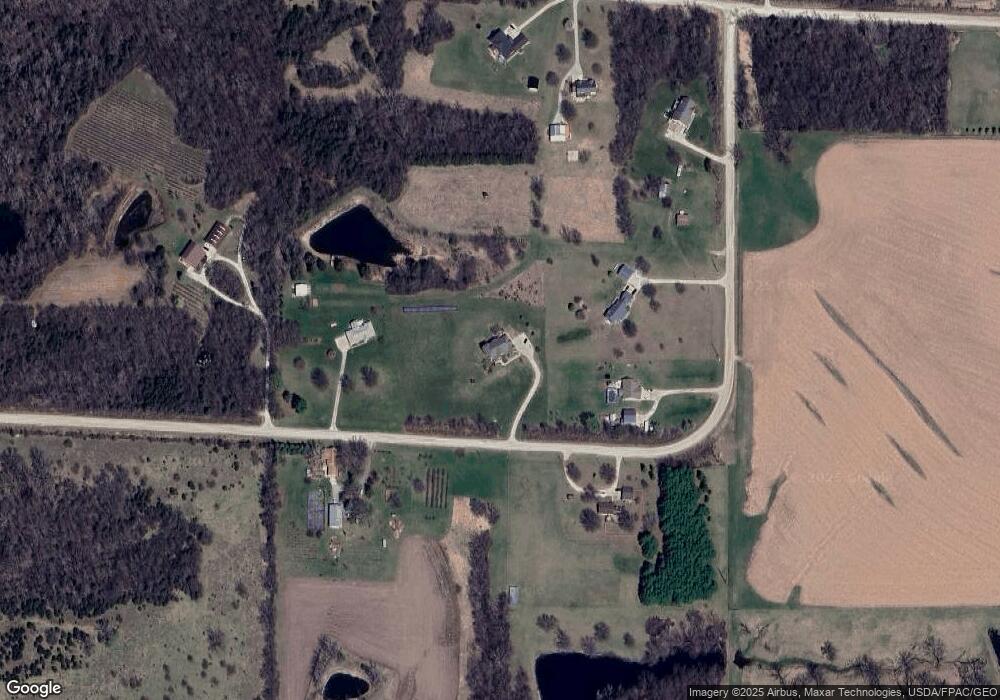
Map
Nearby Homes
- 2375 149th Ln
- Lot 13 152nd Ln
- Lot 2 152nd Ln
- Lot 17 152nd Ln
- Lot 16 152nd Ln
- Lot 10 152nd Ln
- Lot 9 152nd Ln
- Lot 6 152nd Ln
- Lot 3 152nd Ln
- 15018 Scotch Ridge Rd
- 1215 Meadow View Dr
- Cedar Plan at Danamere Farms - Danamere
- Chariton Plan at Danamere Farms - Danamere
- Fraser Plan at Danamere Farms - Danamere
- Fostoria Plan at Danamere Farms - Danamere
- Lansing Plan at Danamere Farms - Danamere
- Hampton Plan at Danamere Farms - Danamere
- Emerson Plan at Danamere Farms - Danamere
- Jasmine Plan at Danamere Farms - Danamere
- Melrose Plan at Danamere Farms - Danamere
- 2660 150th Ave
- 2716 150th Ave
- 14803 Buchanan St
- Corner 150th & Buchanan Ave
- 14950 Buchanan St
- 14856 Briggs St
- 14820 Buchanan St
- 2590 150th Ave
- 14850 Briggs St
- 14769 Buchanan St
- 2498 149th Ln
- 14929 Briggs St
- 2446 149th Ln
- 15023 Briggs St
- 14601 Buchanan St
- 2426 149th Ln
- 15216 Briggs St
- 15123 Bluff Trail
- 2374 149th Ln
- 15274 Briggs St