Estimated Value: $1,208,131 - $1,595,000
4
Beds
3
Baths
3,265
Sq Ft
$415/Sq Ft
Est. Value
About This Home
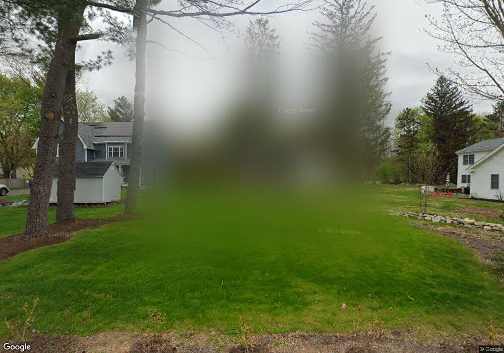
This home is located at 149 Arlington St, Acton, MA 01720 and is currently estimated at $1,356,533, approximately $415 per square foot. 149 Arlington St is a home located in Middlesex County with nearby schools including Acton-Boxborough Regional High School.
Ownership History
Date
Name
Owned For
Owner Type
Purchase Details
Closed on
Nov 17, 2011
Sold by
Mozzicato Nicholas J and Mozzicato Deborah S
Bought by
Whitney Mark A and Whitney Emily A
Current Estimated Value
Home Financials for this Owner
Home Financials are based on the most recent Mortgage that was taken out on this home.
Original Mortgage
$435,600
Outstanding Balance
$295,599
Interest Rate
3.92%
Mortgage Type
Purchase Money Mortgage
Estimated Equity
$1,060,934
Create a Home Valuation Report for This Property
The Home Valuation Report is an in-depth analysis detailing your home's value as well as a comparison with similar homes in the area
Home Values in the Area
Average Home Value in this Area
Purchase History
| Date | Buyer | Sale Price | Title Company |
|---|---|---|---|
| Whitney Mark A | $726,000 | -- |
Source: Public Records
Mortgage History
| Date | Status | Borrower | Loan Amount |
|---|---|---|---|
| Open | Whitney Mark A | $435,600 |
Source: Public Records
Tax History
| Year | Tax Paid | Tax Assessment Tax Assessment Total Assessment is a certain percentage of the fair market value that is determined by local assessors to be the total taxable value of land and additions on the property. | Land | Improvement |
|---|---|---|---|---|
| 2025 | $17,694 | $1,031,700 | $303,800 | $727,900 |
| 2024 | $16,583 | $994,800 | $303,800 | $691,000 |
| 2023 | $16,982 | $967,100 | $276,100 | $691,000 |
| 2022 | $15,741 | $809,300 | $240,100 | $569,200 |
| 2021 | $15,215 | $752,100 | $222,100 | $530,000 |
| 2020 | $13,941 | $724,600 | $222,100 | $502,500 |
| 2019 | $13,594 | $701,800 | $222,100 | $479,700 |
| 2018 | $13,494 | $696,300 | $222,100 | $474,200 |
| 2017 | $13,271 | $696,300 | $222,100 | $474,200 |
| 2016 | $11,963 | $622,100 | $222,100 | $400,000 |
| 2015 | $11,851 | $622,100 | $222,100 | $400,000 |
| 2014 | $11,353 | $583,700 | $222,100 | $361,600 |
Source: Public Records
Map
Nearby Homes
- 5 Perkins Ln
- 20 Joseph Reed Ln
- 235 Arlington St
- 79 Charter Rd
- 4 Littlefield Rd
- 60 Nashoba Rd
- 246 Main St Unit 2
- 92 Willow St Unit 3
- 92 Willow St Unit 2
- 90 Willow St Unit 1
- 7 Kelley Rd
- 18 Hayward Rd
- 96 Newtown Rd
- 184 Main St Unit 3
- 11 Braebrook
- 25 Nylander Way
- 46 Taylor Rd
- 6 Beacon Ct
- 129 Main St Unit 129
- 131 Main St
Your Personal Tour Guide
Ask me questions while you tour the home.