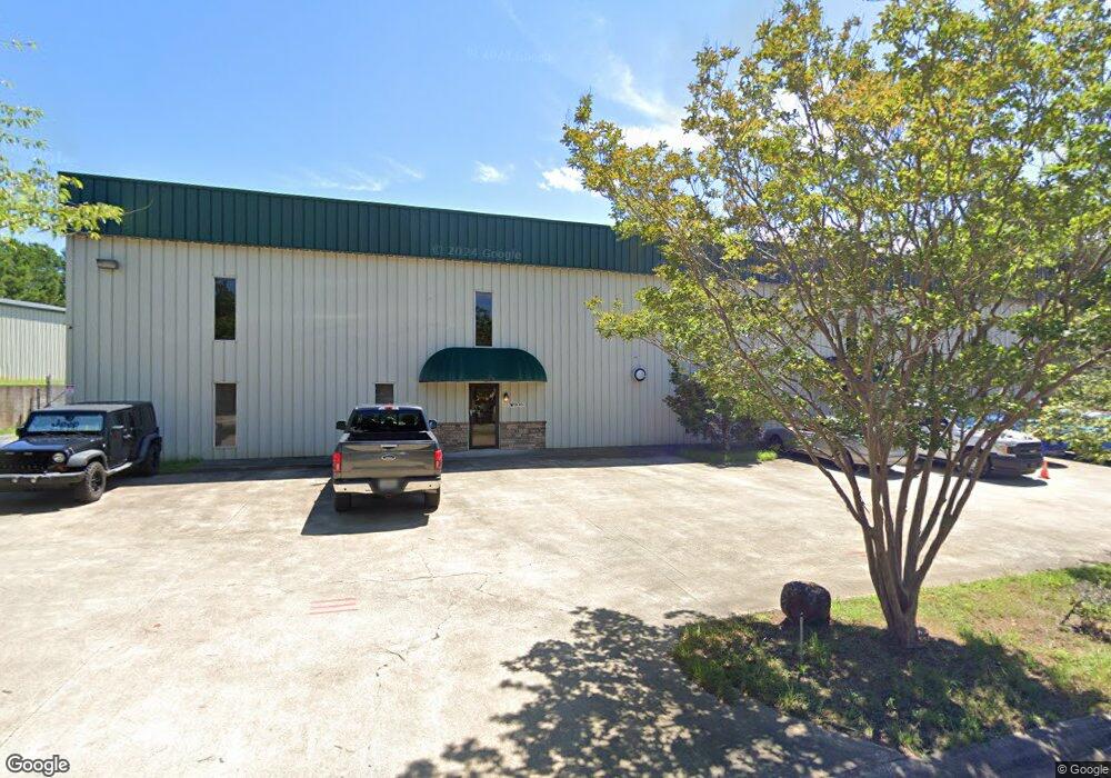
149 Confederate Ave Unit 2 Jasper, GA 30143
Estimated Value: $997,471
--
Bed
--
Bath
9,920
Sq Ft
$101/Sq Ft
Est. Value
About This Home
This home is located at 149 Confederate Ave Unit 2, Jasper, GA 30143 and is currently estimated at $997,471, approximately $100 per square foot. 149 Confederate Ave Unit 2 is a home located in Pickens County with nearby schools including Harmony Elementary School, Pickens County Middle School, and Pickens County High School.
Ownership History
Date
Name
Owned For
Owner Type
Purchase Details
Closed on
Sep 13, 2023
Sold by
Jinling International Inc
Bought by
Pmh Properties Llc
Current Estimated Value
Home Financials for this Owner
Home Financials are based on the most recent Mortgage that was taken out on this home.
Original Mortgage
$665,000
Interest Rate
7.09%
Mortgage Type
New Conventional
Purchase Details
Closed on
Mar 31, 2016
Sold by
Millwood Mark H
Bought by
Jinling International Inc
Purchase Details
Closed on
Dec 3, 2004
Sold by
Mills Ronnie
Bought by
Millwood Mark H
Purchase Details
Closed on
Jan 7, 2003
Sold by
Mountain City Development
Bought by
Mills Ronnie
Create a Home Valuation Report for This Property
The Home Valuation Report is an in-depth analysis detailing your home's value as well as a comparison with similar homes in the area
Home Values in the Area
Average Home Value in this Area
Purchase History
| Date | Buyer | Sale Price | Title Company |
|---|---|---|---|
| Pmh Properties Llc | -- | -- | |
| Pmh Properties Llc | $950,000 | -- | |
| Jinling International Inc | $435,000 | -- | |
| Millwood Mark H | $425,000 | -- | |
| Mills Ronnie | $65,000 | -- |
Source: Public Records
Mortgage History
| Date | Status | Borrower | Loan Amount |
|---|---|---|---|
| Previous Owner | Pmh Properties Llc | $665,000 |
Source: Public Records
Tax History Compared to Growth
Tax History
| Year | Tax Paid | Tax Assessment Tax Assessment Total Assessment is a certain percentage of the fair market value that is determined by local assessors to be the total taxable value of land and additions on the property. | Land | Improvement |
|---|---|---|---|---|
| 2024 | $9,669 | $494,461 | $90,000 | $404,461 |
| 2023 | $10,070 | $387,427 | $90,000 | $297,427 |
| 2022 | $3,799 | $186,801 | $48,000 | $138,801 |
| 2021 | $4,070 | $186,801 | $48,000 | $138,801 |
| 2020 | $4,192 | $186,801 | $48,000 | $138,801 |
| 2019 | $3,980 | $173,349 | $48,000 | $125,349 |
| 2018 | $4,018 | $173,349 | $48,000 | $125,349 |
| 2017 | $4,083 | $173,349 | $48,000 | $125,349 |
Source: Public Records
Map
Nearby Homes
- 324 Northside Dr
- 57 Mountain View Cir
- 190 Northside Dr
- 251 Deerberry Dr
- 91 Pinnacle Way
- 241 Deerberry Dr
- 200 Deerberry Dr Unit 32
- 190 Deerberry Dr
- 10 Kane Dr
- 143 Rolling Meadow Trace
- Aisle Plan at Rolling Meadows
- Elston Plan at Rolling Meadows
- Robie Plan at Rolling Meadows
- SUDBURY 24' TOWNHOME Plan at Rolling Meadows
- 9 Summit St Unit 9
- 43 Rolling Meadow
- 43 Rolling Meadow Trace
- 33 Rolling Meadow
- 33 Rolling Meadow Trace
- 2574 Highway 53 W
- 149 Confederate Ave
- 229 Confederate Ave
- 172 Confederate Ave
- 240 Confederate Ave
- 144 Confederate Ave
- 111 Confederate Ave
- 85 Confederate Ave
- 49 Confederate Way
- 25 Confederate Way
- 48 Confederate Way
- 75 Confederate Ave
- 276 Confederate Ave
- 64 Confederate Way
- 40 Confederate Ave
- 104 Noah Dr Unit 104
- 104 Noah Dr
- 102 Noah Dr Unit 102
- 102 Noah Dr
- 5 Noah Dr
- 21 Noah Dr