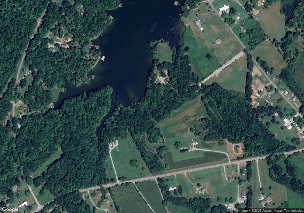
149 Ellis Rd Unit 1400 Shoreline Kingston, TN 37763
Estimated Value: $435,000 - $1,221,075
--
Bed
--
Bath
1,352
Sq Ft
$634/Sq Ft
Est. Value
About This Home
This home is located at 149 Ellis Rd Unit 1400 Shoreline, Kingston, TN 37763 and is currently estimated at $857,769, approximately $634 per square foot. 149 Ellis Rd Unit 1400 Shoreline is a home located in Roane County with nearby schools including Midway Elementary School, Kingston Elementary School, and Midtown Elementary School.
Ownership History
Date
Name
Owned For
Owner Type
Purchase Details
Closed on
Jun 14, 2018
Sold by
Wicks George R
Bought by
Ramey Ralph and Patterson Jason
Current Estimated Value
Purchase Details
Closed on
Sep 28, 2012
Sold by
Bright Cecil W
Bought by
Svenkeson Brian and Svenkeson Marcia
Home Financials for this Owner
Home Financials are based on the most recent Mortgage that was taken out on this home.
Original Mortgage
$230,000
Interest Rate
3.64%
Mortgage Type
Commercial
Purchase Details
Closed on
Sep 4, 1998
Bought by
Bright Cecil W and Bright Linda Kay
Create a Home Valuation Report for This Property
The Home Valuation Report is an in-depth analysis detailing your home's value as well as a comparison with similar homes in the area
Home Values in the Area
Average Home Value in this Area
Purchase History
| Date | Buyer | Sale Price | Title Company |
|---|---|---|---|
| Ramey Ralph | $6,500 | Title One Inc | |
| Svenkeson Brian | $350,000 | -- | |
| Bright Cecil W | $110,000 | -- |
Source: Public Records
Mortgage History
| Date | Status | Borrower | Loan Amount |
|---|---|---|---|
| Previous Owner | Svenkeson Brian | $230,000 |
Source: Public Records
Tax History Compared to Growth
Tax History
| Year | Tax Paid | Tax Assessment Tax Assessment Total Assessment is a certain percentage of the fair market value that is determined by local assessors to be the total taxable value of land and additions on the property. | Land | Improvement |
|---|---|---|---|---|
| 2024 | $4,415 | $183,975 | $100,000 | $83,975 |
| 2023 | $3,324 | $138,500 | $100,000 | $38,500 |
| 2022 | $3,249 | $135,375 | $100,000 | $35,375 |
| 2021 | $3,344 | $135,375 | $100,000 | $35,375 |
| 2020 | $3,345 | $135,375 | $100,000 | $35,375 |
| 2019 | $3,963 | $147,600 | $112,825 | $34,775 |
| 2018 | $3,801 | $147,600 | $112,825 | $34,775 |
| 2017 | $3,801 | $147,600 | $112,825 | $34,775 |
| 2016 | $3,801 | $147,600 | $112,825 | $34,775 |
| 2015 | $3,662 | $142,200 | $112,825 | $29,375 |
| 2013 | -- | $124,575 | $124,575 | $0 |
Source: Public Records
Map
Nearby Homes
- 169 Ellis Rd
- 00 River Rd
- 130 Hickory Ln
- 0 Ellis Rd Unit 1317029
- 124 Beard Ln
- 2405 River Rd
- Lot 2 Raby Hollow Rd
- Lot 4 Raby Hollow Rd
- Lot 5 Raby Hollow Rd
- Lot 6 Raby Hollow Rd
- Lot 7 Raby Hollow Rd
- 190 Bayview Dr
- 31 River Rd
- Lot 232 Star Ln
- 265 E Shore Dr
- 278 Hood Dr
- 118 Roaming Fawn Dr
- 111 Crane Pointe
- 109 Roaming Fawn
- 243 E Shore Dr
