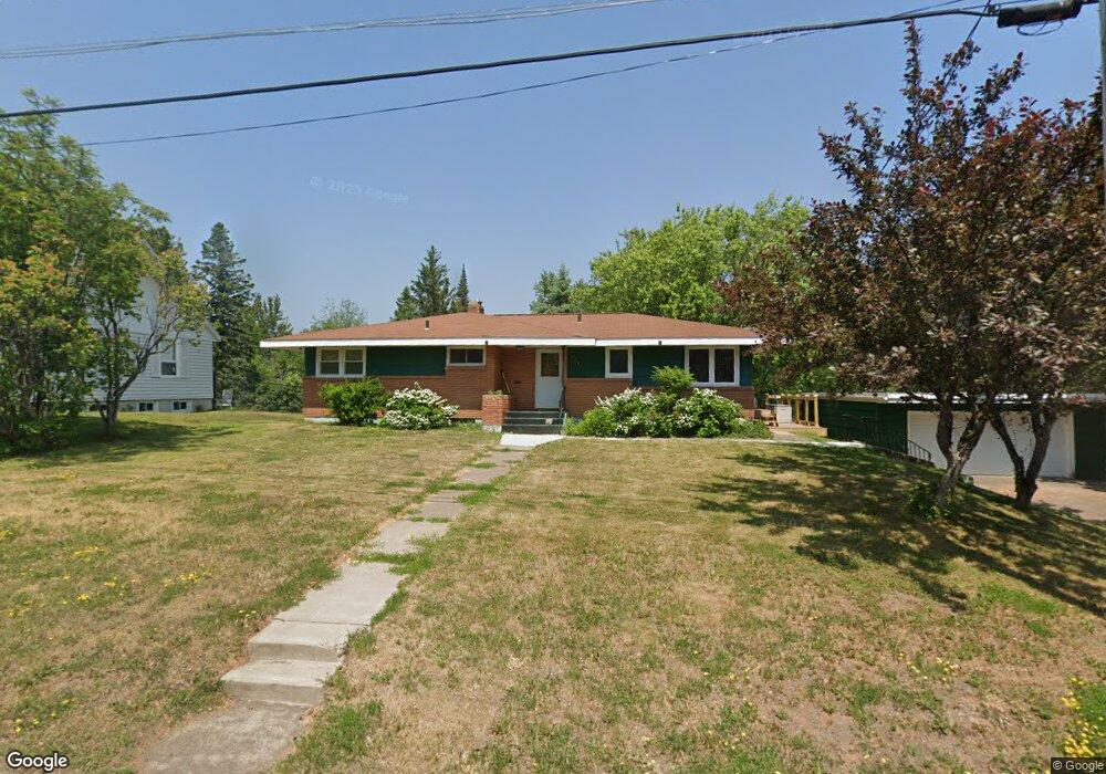
149 Maple Grove Rd Duluth, MN 55811
Duluth Heights NeighborhoodEstimated Value: $288,000 - $334,000
3
Beds
2
Baths
1,593
Sq Ft
$194/Sq Ft
Est. Value
About This Home
This home is located at 149 Maple Grove Rd, Duluth, MN 55811 and is currently estimated at $309,759, approximately $194 per square foot. 149 Maple Grove Rd is a home located in St. Louis County with nearby schools including Lowell Elementary School, Lincoln Park Middle School, and Denfeld High School.
Ownership History
Date
Name
Owned For
Owner Type
Purchase Details
Closed on
Feb 5, 2007
Sold by
Elmore S Cecelia
Bought by
Ehlers Wade
Current Estimated Value
Home Financials for this Owner
Home Financials are based on the most recent Mortgage that was taken out on this home.
Original Mortgage
$149,000
Outstanding Balance
$89,091
Interest Rate
6.22%
Mortgage Type
Purchase Money Mortgage
Estimated Equity
$220,668
Create a Home Valuation Report for This Property
The Home Valuation Report is an in-depth analysis detailing your home's value as well as a comparison with similar homes in the area
Home Values in the Area
Average Home Value in this Area
Purchase History
| Date | Buyer | Sale Price | Title Company |
|---|---|---|---|
| Ehlers Wade | $149,000 | Rels |
Source: Public Records
Mortgage History
| Date | Status | Borrower | Loan Amount |
|---|---|---|---|
| Open | Ehlers Wade | $149,000 |
Source: Public Records
Tax History
| Year | Tax Paid | Tax Assessment Tax Assessment Total Assessment is a certain percentage of the fair market value that is determined by local assessors to be the total taxable value of land and additions on the property. | Land | Improvement |
|---|---|---|---|---|
| 2024 | $3,438 | $269,900 | $58,100 | $211,800 |
| 2023 | $3,438 | $288,900 | $63,900 | $225,000 |
| 2022 | $3,656 | $250,700 | $55,700 | $195,000 |
| 2021 | $3,034 | $235,500 | $52,400 | $183,100 |
| 2020 | $2,778 | $203,800 | $38,400 | $165,400 |
| 2019 | $2,570 | $184,700 | $34,600 | $150,100 |
| 2018 | $2,398 | $174,100 | $34,600 | $139,500 |
| 2017 | $2,360 | $174,200 | $34,700 | $139,500 |
| 2016 | $2,060 | $278,700 | $27,600 | $251,100 |
| 2015 | $2,099 | $133,500 | $34,300 | $99,200 |
| 2014 | $2,099 | $133,500 | $34,300 | $99,200 |
Source: Public Records
Map
Nearby Homes
- 817 Maple Bend Dr
- 35 W Ideal St
- 616 Maple Bend Dr
- 29 W Ideal St
- 313 W Mulberry St
- 205 Bluff's Ridge Ct
- 20xx Stanford Ave
- 1145 Como Ave Unit 1
- 10xx Joshua Ave
- 1910 Ponderosa Ave
- 1804 Rice Lake Rd
- 14 Deer Valley Rd
- 1611 Maple Grove Rd
- 1633 Maple Grove Rd
- 1802 Rice Lake Rd
- 1944 Chinook Dr
- 2360 Apple Ridge Dr
- 2108 Cottage Hill Cir
- xx Trinity Rd
- 34XX Trinity Rd
- 155 Maple Grove Rd
- 161 Maple Grove Rd
- 929 Maple Bend Dr
- 928 Maple Bend Dr
- 921 Maple Bend Dr
- 930 Ebony Ave
- 203 Maple Grove Rd
- 920 Maple Bend Dr
- 924 Ebony Ave
- 909 Maple Bend Dr
- 53 Maple Grove Rd
- 53XX Maple Grove Rd
- 908 Maple Bend Dr
- 916 Ebony Ave
- 211 Maple Grove Rd
- 916 N Ebony Ave
- 903 Maple Bend Dr
- 1111 Stanford Ave
- 902 Maple Bend Dr
- 931 Ebony Ave
Your Personal Tour Guide
Ask me questions while you tour the home.