149 Martin Ln Moultrie, GA 31768
Estimated Value: $198,284 - $302,000
--
Bed
2
Baths
1,578
Sq Ft
$152/Sq Ft
Est. Value
About This Home
This home is located at 149 Martin Ln, Moultrie, GA 31768 and is currently estimated at $239,821, approximately $151 per square foot. 149 Martin Ln is a home located in Colquitt County with nearby schools including Hamilton Elementary School, Willie J. Williams Middle School, and C.A. Gray Junior High School.
Ownership History
Date
Name
Owned For
Owner Type
Purchase Details
Closed on
May 14, 2015
Sold by
Verstreater Rebecca S
Bought by
Saunders Walter E
Current Estimated Value
Purchase Details
Closed on
Mar 20, 2007
Sold by
Boyd Ronald W
Bought by
Verstreater Ted J and Verstreater Rebecca S
Home Financials for this Owner
Home Financials are based on the most recent Mortgage that was taken out on this home.
Original Mortgage
$125,000
Interest Rate
6.18%
Mortgage Type
New Conventional
Purchase Details
Closed on
Apr 25, 2005
Sold by
Martin Robert F
Bought by
Boyd Ronald W and Boyd Judy H
Create a Home Valuation Report for This Property
The Home Valuation Report is an in-depth analysis detailing your home's value as well as a comparison with similar homes in the area
Home Values in the Area
Average Home Value in this Area
Purchase History
| Date | Buyer | Sale Price | Title Company |
|---|---|---|---|
| Saunders Walter E | $150,000 | -- | |
| Verstreater Ted J | $145,000 | -- | |
| Boyd Ronald W | $114,000 | -- |
Source: Public Records
Mortgage History
| Date | Status | Borrower | Loan Amount |
|---|---|---|---|
| Previous Owner | Verstreater Ted J | $125,000 | |
| Closed | Boyd Ronald W | $0 |
Source: Public Records
Tax History Compared to Growth
Tax History
| Year | Tax Paid | Tax Assessment Tax Assessment Total Assessment is a certain percentage of the fair market value that is determined by local assessors to be the total taxable value of land and additions on the property. | Land | Improvement |
|---|---|---|---|---|
| 2024 | $1,344 | $68,831 | $4,692 | $64,139 |
| 2023 | $1,344 | $53,882 | $4,692 | $49,190 |
| 2022 | $1,059 | $49,381 | $4,171 | $45,210 |
| 2021 | $970 | $44,948 | $4,171 | $40,777 |
| 2020 | $921 | $42,278 | $4,171 | $38,107 |
| 2019 | $976 | $40,497 | $4,171 | $36,326 |
| 2018 | $1,036 | $40,497 | $4,171 | $36,326 |
| 2017 | $1,118 | $46,106 | $9,780 | $36,326 |
| 2016 | $1,216 | $46,106 | $9,780 | $36,326 |
| 2015 | $967 | $44,228 | $9,780 | $34,448 |
| 2014 | $946 | $41,022 | $9,780 | $31,242 |
| 2013 | -- | $41,022 | $9,779 | $31,242 |
Source: Public Records
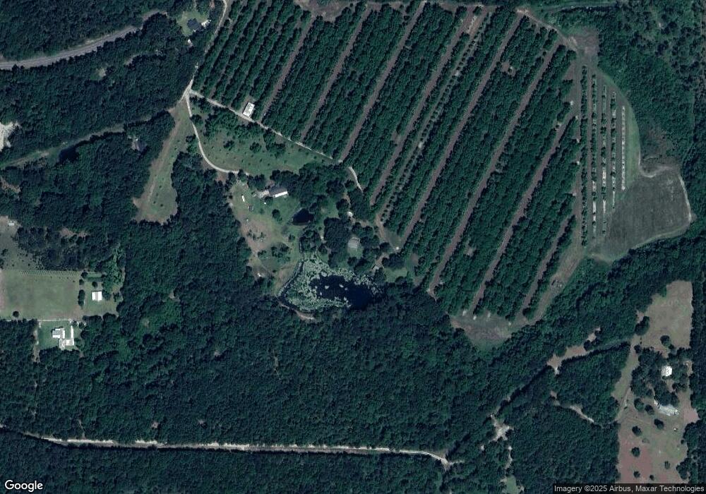
Map
Nearby Homes
- 1214 Erve Williams Rd
- 3007 Zion Grove Church Rd
- 1291 Myron Hart Rd
- 0 Kendallwood Dr Unit 1652301
- 1459 Georgia 202
- 900 Monroe Jackson Rd
- 5322 Georgia 111
- xx Ga Hwy 319 N
- 1557 US Highway 319 S
- 182 Mcginty Rd
- 265 Lb Nevels Rd
- 117 Will Rd
- 00 Ragin Rd Unit 7
- 00 Ragin Rd Unit 12
- 219 Cox Dairy Rd
- XX Us Highway 319 S Unit 8-11
- 2069 Baker Rd
- 135 Southlake Dr
- 0 Shade Murphy Rd Unit 12
- 534 Us Highway 319 S
- 161 Martin Ln
- 189 Martin Ln Unit 1
- 189 Martin Ln
- 344 Phillips Ln
- 3832 Bay Rockyford Rd
- 359 Phillips Ln
- 3535 Lower Meigs Rd
- 3483 Lower Meigs Rd
- 3861 Bay Rockyford Rd
- 3447 Lower Meigs Rd
- 320 Phillips Ln
- 3940 Bay Rockyford Rd
- 3670 Lower Meigs Rd
- 3446 Lower Meigs Rd
- 4022 Bay Rockyford Rd
- 3719 Lower Meigs Rd
- 3377 Lower Meigs Rd
- 4103 Bay Rockyford Rd
- 3758 Lower Meigs Rd
- 3346 Lower Meigs Rd