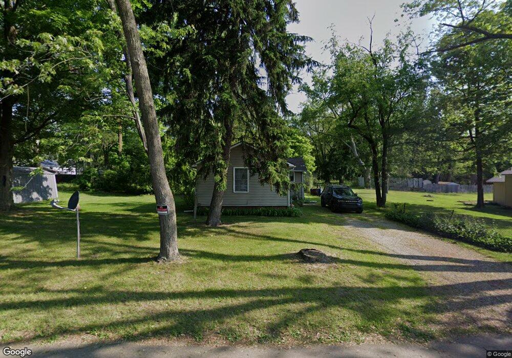
149 Martin St Battle Creek, MI 49014
Estimated Value: $92,980 - $118,000
3
Beds
1
Bath
1,094
Sq Ft
$93/Sq Ft
Est. Value
About This Home
This home is located at 149 Martin St, Battle Creek, MI 49014 and is currently estimated at $101,495, approximately $92 per square foot. 149 Martin St is a home located in Calhoun County with nearby schools including Harper Creek Middle School and Harper Creek High School.
Ownership History
Date
Name
Owned For
Owner Type
Purchase Details
Closed on
Sep 6, 2006
Sold by
Galaxy Properties Of Marshall Llc
Bought by
Lapointe Howard Debra E
Current Estimated Value
Home Financials for this Owner
Home Financials are based on the most recent Mortgage that was taken out on this home.
Original Mortgage
$64,500
Outstanding Balance
$38,798
Interest Rate
6.7%
Mortgage Type
Purchase Money Mortgage
Estimated Equity
$62,697
Purchase Details
Closed on
Dec 30, 2005
Sold by
Young Carly Dee and Young Darren Michael
Bought by
Galaxy Properties Llc
Purchase Details
Closed on
Jul 6, 1998
Sold by
Potter Howard A
Bought by
Young Darren and Young Fsancher, C
Create a Home Valuation Report for This Property
The Home Valuation Report is an in-depth analysis detailing your home's value as well as a comparison with similar homes in the area
Home Values in the Area
Average Home Value in this Area
Purchase History
| Date | Buyer | Sale Price | Title Company |
|---|---|---|---|
| Lapointe Howard Debra E | $64,500 | Fatic | |
| Galaxy Properties Llc | $10,000 | Fatic | |
| Young Darren | $20,000 | -- |
Source: Public Records
Mortgage History
| Date | Status | Borrower | Loan Amount |
|---|---|---|---|
| Open | Lapointe Howard Debra E | $64,500 |
Source: Public Records
Tax History Compared to Growth
Tax History
| Year | Tax Paid | Tax Assessment Tax Assessment Total Assessment is a certain percentage of the fair market value that is determined by local assessors to be the total taxable value of land and additions on the property. | Land | Improvement |
|---|---|---|---|---|
| 2025 | $787 | $34,280 | $0 | $0 |
| 2024 | $458 | $35,220 | $0 | $0 |
| 2023 | $704 | $27,450 | $0 | $0 |
| 2022 | $416 | $20,340 | $0 | $0 |
| 2021 | $673 | $19,600 | $0 | $0 |
| 2020 | $686 | $19,050 | $0 | $0 |
| 2019 | $781 | $19,100 | $0 | $0 |
| 2018 | $589 | $17,950 | $650 | $17,300 |
| 2017 | $589 | $17,200 | $0 | $0 |
| 2016 | $589 | $16,700 | $0 | $0 |
| 2015 | $397 | $15,600 | $2,129 | $13,471 |
| 2014 | $397 | $16,250 | $2,129 | $14,121 |
Source: Public Records
Map
Nearby Homes
- 0 Rook St Unit 25019652
- 138 Rook St
- 23 Bradford St
- 79 Clark St
- 255 Livingston St
- 131 Academy St
- 140 Princeton St S
- 222 Lathrop Ave
- 507 Michigan Ave E
- 85 East Ave S
- 501 Michigan Ave E
- 232 Cliff St
- 116 Inn Rd
- 45 Traverse St
- 17 Wren St
- 118 Nelson St
- 174 Lathrop Ave
- 155 Post Ave
- 52 Maple Grove Ave
- 28 East Ave S