149 Middletown Hill Rd West Rutland, VT 05777
Estimated Value: $349,000 - $463,000
3
Beds
2
Baths
2,016
Sq Ft
$199/Sq Ft
Est. Value
About This Home
This home is located at 149 Middletown Hill Rd, West Rutland, VT 05777 and is currently estimated at $400,399, approximately $198 per square foot. 149 Middletown Hill Rd is a home located in Rutland County.
Ownership History
Date
Name
Owned For
Owner Type
Purchase Details
Closed on
Mar 19, 2021
Sold by
Black Joseph P and Black Maryann
Bought by
Raiche Bobbi and Raiche Michael
Current Estimated Value
Purchase Details
Closed on
Sep 17, 2018
Sold by
Chapla Josephine F and Chapla Sophie C
Bought by
Raiche Bobbi J and Raiche Michael J
Purchase Details
Closed on
Aug 7, 2009
Sold by
Dedoming Enid M
Bought by
Machain Marc
Purchase Details
Closed on
Oct 26, 2004
Sold by
Ward David
Bought by
Raiche Michael J and Raiche Bobbi J
Purchase Details
Closed on
Jul 14, 2003
Sold by
Delpha Samson G and Delpha Kolette
Bought by
Ward David
Create a Home Valuation Report for This Property
The Home Valuation Report is an in-depth analysis detailing your home's value as well as a comparison with similar homes in the area
Home Values in the Area
Average Home Value in this Area
Purchase History
| Date | Buyer | Sale Price | Title Company |
|---|---|---|---|
| Raiche Bobbi | $33,800 | -- | |
| Raiche Bobbi | $33,800 | -- | |
| Raiche Bobbi J | -- | -- | |
| Raiche Bobbi J | -- | -- | |
| Machain Marc | -- | -- | |
| Machain Marc | -- | -- | |
| Raiche Michael J | $42,000 | -- | |
| Raiche Michael J | $42,000 | -- | |
| Ward David | $500 | -- | |
| Ward David | $500 | -- |
Source: Public Records
Tax History Compared to Growth
Tax History
| Year | Tax Paid | Tax Assessment Tax Assessment Total Assessment is a certain percentage of the fair market value that is determined by local assessors to be the total taxable value of land and additions on the property. | Land | Improvement |
|---|---|---|---|---|
| 2024 | $4,912 | $193,600 | $55,900 | $137,700 |
| 2023 | $3,266 | $193,600 | $55,900 | $137,700 |
| 2022 | $4,614 | $209,700 | $78,400 | $131,300 |
| 2021 | $4,652 | $209,700 | $78,400 | $131,300 |
| 2020 | $3,905 | $187,200 | $55,900 | $131,300 |
| 2019 | $3,425 | $187,200 | $55,900 | $131,300 |
| 2018 | $3,353 | $177,600 | $46,300 | $131,300 |
| 2017 | $2,856 | $160,200 | $46,300 | $113,900 |
| 2016 | $2,419 | $160,200 | $46,300 | $113,900 |
Source: Public Records
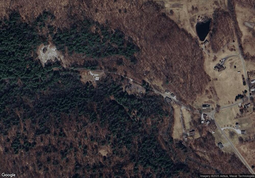
Map
Nearby Homes
- 202 Scotts Rd Unit IRA
- 1186 Route 133
- 374 Pinehill Rd
- 127 Clarendon Springs Ln
- 101 High St
- 469 Main St
- 653 Main St
- 326 Main St
- 23 Proctor St
- 25 Proctor St
- 230 Marble St
- 2086 Walker Mountain Rd
- 888 Pleasant St
- 14 Anderson St
- 1321 Quarterline Rd
- 21 West St
- 150 Garron Rd
- 73 South St
- 124 Flory Heights
- 865 Walker Mountain Rd
- 251 Middletown Hill Rd
- 94 Middletown Hill Rd
- 63 Middletown Hill Rd
- 1287 West Rd Unit IRA
- 1375 West Rd
- 1371 West Rd
- 1234 West Rd
- 1205 West Rd
- 1414 West Rd
- 1348 West Rd Unit IRA
- 1385 West Rd Unit IRA
- 1101 West Rd Unit IRA
- 1086 West Rd
- 1014 West Rd Unit IRA
- 962 West Rd Unit IRA
- 1633 West Rd
- 807 Middletown Hill Rd
- 892 West Rd
- 847 West Rd Unit IRA
- 0 West Rd