149 The Bluff Unit 2 Branson, MO 65616
Table Rock NeighborhoodEstimated Value: $174,000 - $266,000
Studio
--
Bath
648
Sq Ft
$329/Sq Ft
Est. Value
About This Home
This home is located at 149 The Bluff Unit 2, Branson, MO 65616 and is currently estimated at $213,327, approximately $329 per square foot. 149 The Bluff Unit 2 is a home located in Taney County with nearby schools including Cedar Ridge Primary, Cedar Ridge Intermediate School, and Cedar Ridge Elementary School.
Ownership History
Date
Name
Owned For
Owner Type
Purchase Details
Closed on
Apr 11, 2025
Sold by
Honeycutt Audrey Jane
Bought by
Honeycutt Anthony
Current Estimated Value
Purchase Details
Closed on
May 26, 2020
Sold by
Denniston Jon R and Denniston Michelle B
Bought by
Honeycutt Edwin Anthony and Honeycutt Audrey Jane
Home Financials for this Owner
Home Financials are based on the most recent Mortgage that was taken out on this home.
Original Mortgage
$26,400
Interest Rate
4.12%
Mortgage Type
New Conventional
Purchase Details
Closed on
Apr 20, 2017
Sold by
Young Kwai Lum and Young Mary Lou
Bought by
Denniston Jon R and Denniston Michelle B
Create a Home Valuation Report for This Property
The Home Valuation Report is an in-depth analysis detailing your home's value as well as a comparison with similar homes in the area
Home Values in the Area
Average Home Value in this Area
Purchase History
| Date | Buyer | Sale Price | Title Company |
|---|---|---|---|
| Honeycutt Anthony | -- | None Listed On Document | |
| Honeycutt Edwin Anthony | -- | None Available | |
| Denniston Jon R | -- | None Available |
Source: Public Records
Mortgage History
| Date | Status | Borrower | Loan Amount |
|---|---|---|---|
| Previous Owner | Honeycutt Edwin Anthony | $26,400 |
Source: Public Records
Tax History
| Year | Tax Paid | Tax Assessment Tax Assessment Total Assessment is a certain percentage of the fair market value that is determined by local assessors to be the total taxable value of land and additions on the property. | Land | Improvement |
|---|---|---|---|---|
| 2025 | $1,246 | $21,800 | -- | -- |
| 2023 | $1,246 | $23,300 | -- | -- |
| 2022 | $1,059 | $20,360 | $0 | $0 |
| 2021 | $1,052 | $20,360 | $0 | $0 |
| 2019 | $1,098 | $20,220 | $0 | $0 |
| 2018 | $790 | $14,580 | $0 | $0 |
| 2017 | $724 | $13,560 | $0 | $0 |
| 2016 | $723 | $13,560 | $0 | $0 |
| 2015 | $716 | $13,560 | $0 | $0 |
| 2014 | $1,114 | $21,530 | $0 | $0 |
Source: Public Records
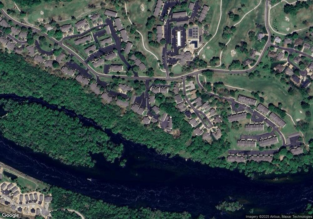
Map
Nearby Homes
- 149 The Bluffs Unit 3
- 149 The Bluffs Unit 6
- 127 The Bluffs Unit 1
- 185 Eagle Pointe Dr
- 200 Eagle Pointe Dr
- 123 Bunker Ridge Dr Unit 4
- 187 Clubhouse Dr Unit 23
- 187 Clubhouse Dr Unit 19
- 126 Overlook Dr Unit 3
- 126 Overlook Dr Unit 5
- 146 Bunker Ridge Dr Unit 1
- 151 Highland Dr Unit 55-3
- 151 Highland Dr Unit 6
- 240 Wimbledon Dr Unit 12
- 366 Wimbledon Dr Unit 7
- 170 Bunker Ridge Dr Unit 6
- 170 Bunker Ridge Dr Unit 12
- 169 Highland Dr Unit 1
- 169 Highland Dr Unit 7
- 169 Highland Dr Unit 8
- 149 The Bluff Unit 3
- 149 The Bluffs Unit 5
- 149 The Bluffs Unit 36
- 149 The Bluffs Unit 2
- 145 The Bluffs Unit 3
- 149 the Bluffs #6
- 141 The Bluff Unit 4
- 141 The Bluff Unit 3
- 141 The Bluff Unit Bld 35 Unit 5
- 141 The Bluffs Unit 2
- 141 The Bluffs Unit 4
- 141 The Bluffs Unit 5
- 141 The Bluffs Unit 3
- 141 The Bluffs Unit 1
- 141 The Bluffs Unit 6
- 141 the Bluffs 35-6
- 160 The Bluff Unit 2
- 160 The Bluffs Unit 5
- 160 The Bluffs Unit 6
- 160 The Bluffs Unit 2
Your Personal Tour Guide
Ask me questions while you tour the home.