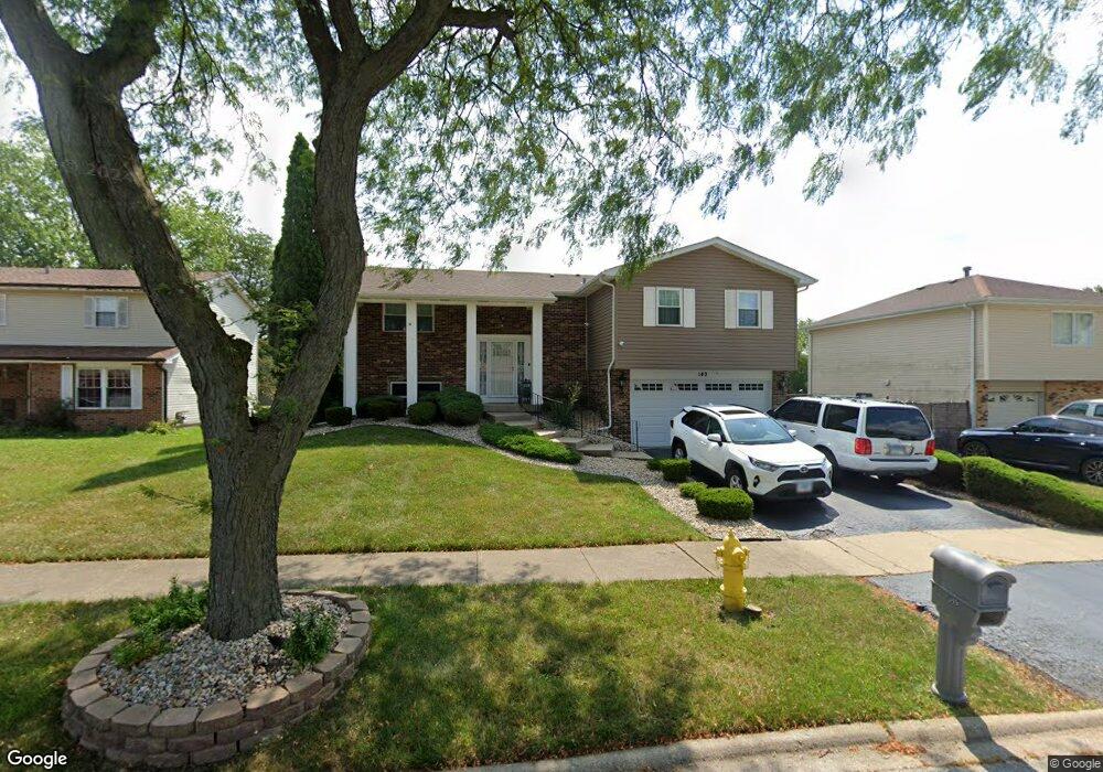
149 Timberlane Rd Unit 4 Matteson, IL 60443
West Matteson NeighborhoodEstimated Value: $250,000 - $278,000
4
Beds
2
Baths
1,472
Sq Ft
$180/Sq Ft
Est. Value
About This Home
This home is located at 149 Timberlane Rd Unit 4, Matteson, IL 60443 and is currently estimated at $265,225, approximately $180 per square foot. 149 Timberlane Rd Unit 4 is a home located in Cook County with nearby schools including Colin Powell Middle School.
Ownership History
Date
Name
Owned For
Owner Type
Purchase Details
Closed on
Jul 19, 2017
Sold by
Ball Samuel E
Bought by
Wymbs Ball Reva
Current Estimated Value
Purchase Details
Closed on
Jun 27, 1997
Sold by
Hall Richard R and Relford Hall Laverne
Bought by
Ball Samuel E and Wymbs Ball Rena T
Home Financials for this Owner
Home Financials are based on the most recent Mortgage that was taken out on this home.
Original Mortgage
$120,650
Outstanding Balance
$18,060
Interest Rate
8%
Estimated Equity
$247,165
Create a Home Valuation Report for This Property
The Home Valuation Report is an in-depth analysis detailing your home's value as well as a comparison with similar homes in the area
Home Values in the Area
Average Home Value in this Area
Purchase History
| Date | Buyer | Sale Price | Title Company |
|---|---|---|---|
| Wymbs Ball Reva | -- | None Available | |
| Ball Samuel E | $127,000 | -- |
Source: Public Records
Mortgage History
| Date | Status | Borrower | Loan Amount |
|---|---|---|---|
| Open | Ball Samuel E | $120,650 |
Source: Public Records
Tax History Compared to Growth
Tax History
| Year | Tax Paid | Tax Assessment Tax Assessment Total Assessment is a certain percentage of the fair market value that is determined by local assessors to be the total taxable value of land and additions on the property. | Land | Improvement |
|---|---|---|---|---|
| 2024 | $7,331 | $21,000 | $3,360 | $17,640 |
| 2023 | $6,553 | $21,000 | $3,360 | $17,640 |
| 2022 | $6,553 | $15,661 | $2,940 | $12,721 |
| 2021 | $6,663 | $15,660 | $2,940 | $12,720 |
| 2020 | $6,558 | $15,660 | $2,940 | $12,720 |
| 2019 | $5,669 | $13,805 | $2,730 | $11,075 |
| 2018 | $5,583 | $13,805 | $2,730 | $11,075 |
| 2017 | $5,460 | $13,805 | $2,730 | $11,075 |
| 2016 | $4,935 | $12,034 | $2,520 | $9,514 |
| 2015 | $4,782 | $12,034 | $2,520 | $9,514 |
| 2014 | $3,772 | $12,034 | $2,520 | $9,514 |
| 2013 | $4,774 | $13,006 | $2,520 | $10,486 |
Source: Public Records
Map
Nearby Homes
- 123 Oriole Rd
- 217 Oriole Rd
- 50 Willow Rd
- 42 Pheasant Rd
- 50 Oakhurst Rd
- 25 Pheasant Rd
- 5911 Timberlane Rd
- 5808 Allemong Dr
- 111 Deerpath Rd
- 10 Wedgewood Rd
- 13 Oakview Rd
- 116 Cloverleaf Rd
- 433 Wheatfield Rd
- 6226 Beechwood Rd
- 5838 Woodgate Dr
- 6230 Streamwood Ln
- 6037 Spring Ln
- 6021 Spring Ln
- 5629 Crestwood Rd
- 5628 Crestwood Rd
- 141 Timberlane Rd
- 157 Timberlane Rd
- 148 Pheasant Rd
- 154 Pheasant Rd Unit 4
- 201 Timberlane Rd
- 133 Timberlane Rd
- 140 Pheasant Rd
- 148 Timberlane Rd
- 162 Pheasant Rd
- 156 Timberlane Rd
- 140 Timberlane Rd
- 132 Pheasant Rd
- 127 Timberlane Rd Unit 4
- 205 Timberlane Rd
- 162 Timberlane Rd
- 134 Timberlane Rd
- 204 Pheasant Rd
- 147 Pheasant Rd
- 153 Pheasant Rd
- 204 Timberlane Rd