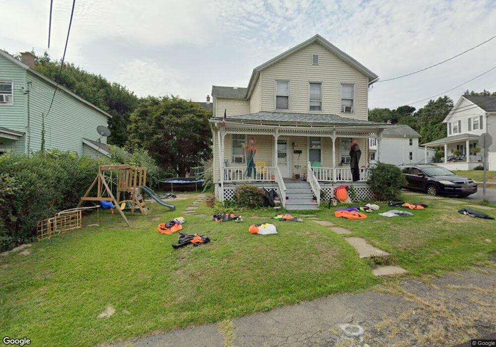
149 W Parker St Scranton, PA 18508
Providence NeighborhoodEstimated Value: $133,513 - $181,000
3
Beds
1
Bath
1,434
Sq Ft
$112/Sq Ft
Est. Value
About This Home
This home is located at 149 W Parker St, Scranton, PA 18508 and is currently estimated at $160,628, approximately $112 per square foot. 149 W Parker St is a home located in Lackawanna County with nearby schools including Neil Armstrong Elementary School, Pinchbeck Elementary School, and Pemberton Elementary School.
Ownership History
Date
Name
Owned For
Owner Type
Purchase Details
Closed on
Feb 23, 2010
Sold by
Secretary Of Housing & Urban Development and Davis Laura
Bought by
Misdary Sohair
Current Estimated Value
Purchase Details
Closed on
Aug 27, 2009
Sold by
Citimortgage Inc
Bought by
Secretary Of Housing & Urban Development
Purchase Details
Closed on
Aug 25, 2009
Sold by
Black Jaime M and Black Loren P
Bought by
Citimortgage Inc
Create a Home Valuation Report for This Property
The Home Valuation Report is an in-depth analysis detailing your home's value as well as a comparison with similar homes in the area
Home Values in the Area
Average Home Value in this Area
Purchase History
| Date | Buyer | Sale Price | Title Company |
|---|---|---|---|
| Misdary Sohair | $24,000 | None Available | |
| Secretary Of Housing & Urban Development | -- | None Available | |
| Citimortgage Inc | $2,227 | None Available |
Source: Public Records
Tax History Compared to Growth
Tax History
| Year | Tax Paid | Tax Assessment Tax Assessment Total Assessment is a certain percentage of the fair market value that is determined by local assessors to be the total taxable value of land and additions on the property. | Land | Improvement |
|---|---|---|---|---|
| 2025 | $2,844 | $8,000 | $2,650 | $5,350 |
| 2024 | $2,618 | $8,000 | $2,650 | $5,350 |
| 2023 | $2,618 | $8,000 | $2,650 | $5,350 |
| 2022 | $2,561 | $8,000 | $2,650 | $5,350 |
| 2021 | $2,561 | $8,000 | $2,650 | $5,350 |
| 2020 | $2,518 | $8,000 | $2,650 | $5,350 |
| 2019 | $2,374 | $8,000 | $2,650 | $5,350 |
| 2018 | $2,374 | $8,000 | $2,650 | $5,350 |
| 2017 | $2,336 | $8,000 | $2,650 | $5,350 |
| 2016 | $887 | $8,000 | $2,650 | $5,350 |
| 2015 | $1,802 | $8,000 | $2,650 | $5,350 |
| 2014 | -- | $8,000 | $2,650 | $5,350 |
Source: Public Records
Map
Nearby Homes
- 193 W Parker St
- 35 Dean St
- 121 Throop St
- 2136 N Main Ave
- 2219 Golden Ave
- 119 Spring St
- 2089 N Main Ave
- 2105 Belmont Terrace
- 2706 N Main Ave
- 2113 Golden Ave
- 2724 N Main Ave
- 2040 Edna Ave
- 2040 Margaret Ave Unit 2042
- 2129 Comegys Ave Unit L11
- 601 Dean St
- 332 Spring St
- 337 Spring St
- 2237 Boulevard Ave
- 831 Raines St
- 2106 Boulevard Ave
- 148 Hollister Ave
- 147 W Parker St
- 145-147 W Parker St
- 137 W Parker St
- 146 Hollister Ave
- 153 Hollister Ave
- 151 Hollister Ave
- 201 Hollister Ave
- 145 Hollister Ave
- 142 Hollister Ave
- 131 W Parker St
- 161-163 W Parker St
- 161 W Parker St Unit left side
- 161 W Parker St Unit 163
- 2507 Hollister Ave
- 160 W Parker St
- 129 W Parker St
- 141 Hollister Ave
- 2407 N Main Ave
- 2401 N Main Ave Unit R