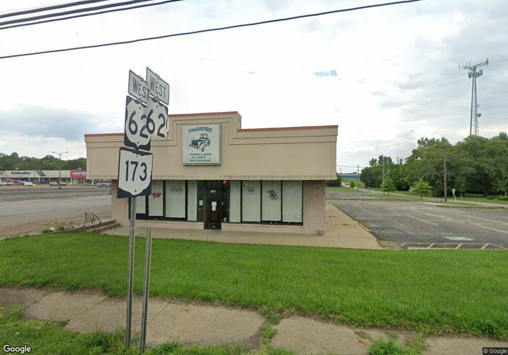
1490 E State St Alliance, OH 44601
Estimated Value: $340,014
Studio
2
Baths
3,010
Sq Ft
$113/Sq Ft
Est. Value
About This Home
This home is located at 1490 E State St, Alliance, OH 44601 and is currently estimated at $340,014, approximately $112 per square foot. 1490 E State St is a home located in Stark County with nearby schools including Alliance Elementary School at Rockhill, Alliance Intermediate School at Northside, and Alliance Middle School.
Ownership History
Date
Name
Owned For
Owner Type
Purchase Details
Closed on
Nov 5, 2025
Sold by
A Burton Properties Llc
Bought by
Alianza Commercial Llc
Current Estimated Value
Home Financials for this Owner
Home Financials are based on the most recent Mortgage that was taken out on this home.
Original Mortgage
$300,000
Outstanding Balance
$300,000
Interest Rate
6.3%
Mortgage Type
Seller Take Back
Estimated Equity
$40,014
Purchase Details
Closed on
Jan 17, 2005
Sold by
Castlewood Realty Co Inc
Bought by
4-D Family Properties Ltd
Purchase Details
Closed on
Sep 30, 1988
Create a Home Valuation Report for This Property
The Home Valuation Report is an in-depth analysis detailing your home's value as well as a comparison with similar homes in the area
Home Values in the Area
Average Home Value in this Area
Purchase History
| Date | Buyer | Sale Price | Title Company |
|---|---|---|---|
| Alianza Commercial Llc | $345,000 | None Listed On Document | |
| 4-D Family Properties Ltd | $150,000 | Union Title Co | |
| -- | $277,900 | -- |
Source: Public Records
Mortgage History
| Date | Status | Borrower | Loan Amount |
|---|---|---|---|
| Open | Alianza Commercial Llc | $300,000 |
Source: Public Records
Tax History
| Year | Tax Paid | Tax Assessment Tax Assessment Total Assessment is a certain percentage of the fair market value that is determined by local assessors to be the total taxable value of land and additions on the property. | Land | Improvement |
|---|---|---|---|---|
| 2025 | -- | $163,250 | $27,760 | $135,490 |
| 2024 | -- | $163,250 | $27,760 | $135,490 |
| 2023 | $7,211 | $136,050 | $27,760 | $108,290 |
| 2022 | $7,280 | $136,050 | $27,760 | $108,290 |
| 2021 | $7,246 | $136,050 | $27,760 | $108,290 |
| 2020 | $7,107 | $123,700 | $25,240 | $98,460 |
| 2019 | $6,932 | $123,710 | $25,240 | $98,470 |
| 2018 | $6,848 | $123,710 | $25,240 | $98,470 |
| 2017 | $7,363 | $128,770 | $23,030 | $105,740 |
| 2016 | $7,408 | $128,770 | $23,030 | $105,740 |
| 2015 | $7,462 | $128,770 | $23,030 | $105,740 |
| 2014 | $1,312 | $123,770 | $22,160 | $101,610 |
| 2013 | $3,627 | $123,770 | $22,160 | $101,610 |
Source: Public Records
Map
Nearby Homes
- 1522 Wade Ave
- 2540 S Mahoning Ave
- 834 Devine St
- 853 Fairway Dr
- 1650 S Liberty Ave
- 624 E College St
- 1157 Woodland Ave
- 300 Homeworth Rd
- 1841 S Freedom Ave
- 2464 S Freedom Ave
- 555 E Milton St
- 22862 Norman Ave
- 22846 Norman Ave
- 1044 S Freedom Ave
- 225 Shadyside Ct
- 900 S Seneca Ave
- 2135 Cherry Ave
- 2145 Cherry Ave
- 955 E Summit St
- 1150 E Beech St
- 22019 State St
- 0 S Mahoning Ave
- 20817 State Route 173
- 22752 Harrisburg Westville Rd
- 2140 S Mahoning Ave
- 22077 Sr 62
- 22792 Harrisburg Westville Rd
- 1668 S Mahoning Ave
- 22143 State Route 62
- 22724 Harrisburg Westville Rd
- 2010 Judy Rae Ave
- 2010 Judy Rae Ave
- 20911 Mill Cir
- 1030 E Rice St
- 22269 State Route 62
- 22269 State Route 62
- 1202 Turnbury St
- 1037 E College St
- 1037 E College St
- 1016 E Rice St
Your Personal Tour Guide
Ask me questions while you tour the home.